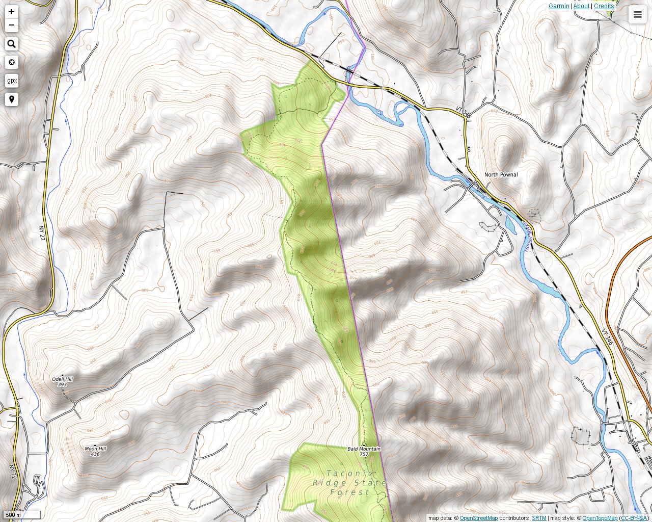
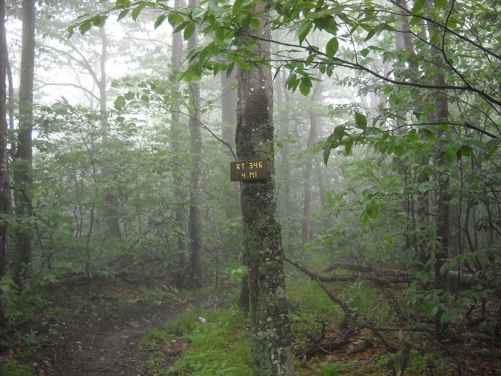
The northern terminus of the Taconic Crest Trail can be found on Route 346 in New York, which is just west of the Vermont line. There is a small parking lot there with a kiosk. There is a map that shows the route, which runs to the south. This stretch of the Taconic Crest Trail is similar to other sections in that there is quite a bit of up and down hiking along the ridge. There are several signs that show mileage, and the Prosser Hollow connector trail is also clearly marked. There is also parking on Prosser Hollow Road if you would like to take the Prosser Hollow Trail to the Taconic Crest Trail. The Taconic Hiking Club published a map of this trail and access trails in 2014. Photos on this page are from three different periods.
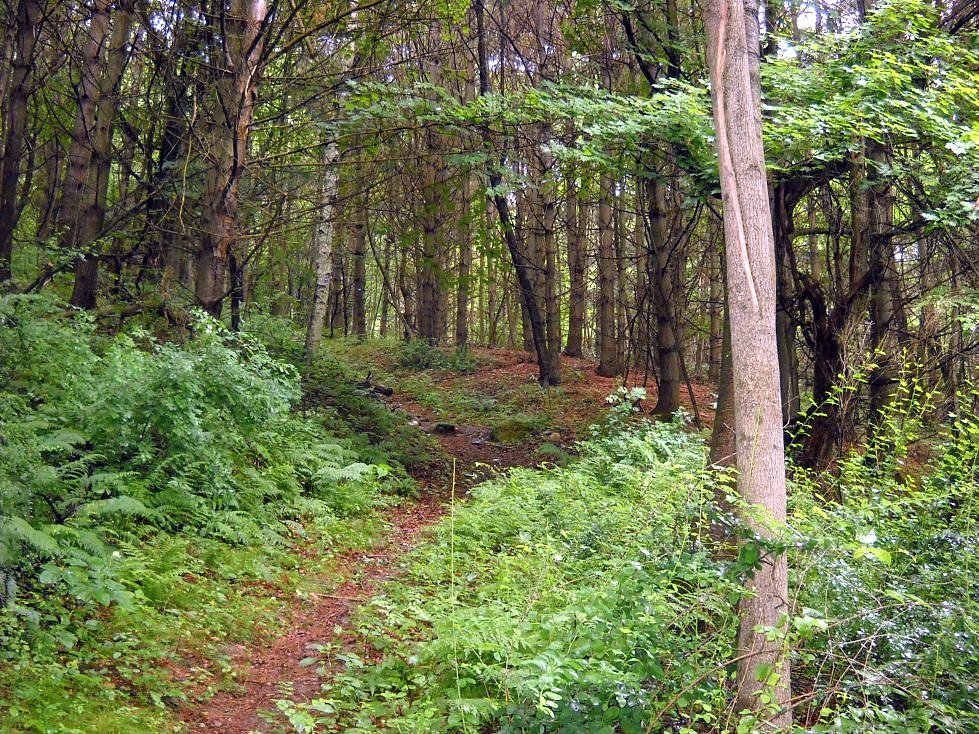
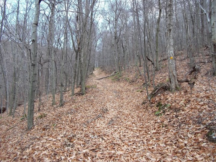
The onset of the trek from Route 346 was a fairly typical walk uphill through mixed forest.
Shortly afterward you feel as though you are walking through former pastures. I saw a turkey and its baby walking around here. They took off in separate directions after they saw me. On the way back, a deer heard me and fled.
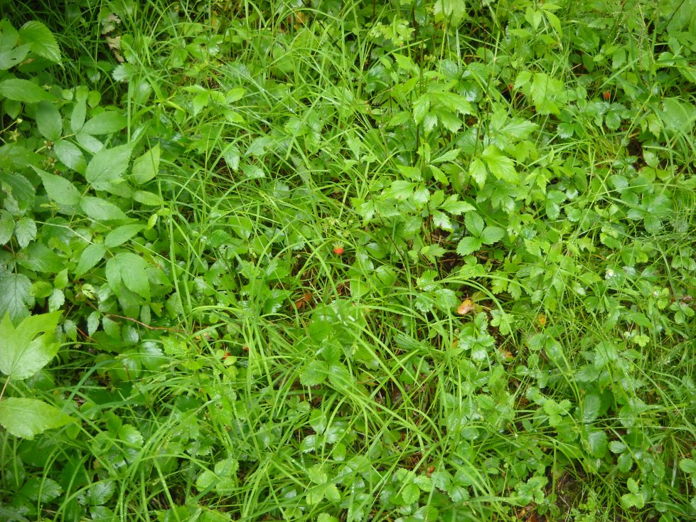
Wild strawberries lined the path in the lower section of the trail. Maybe this is what the turkeys and the deer were after.
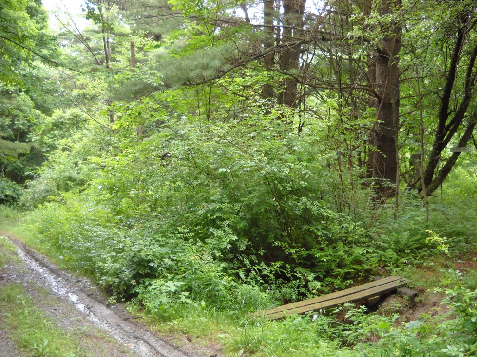
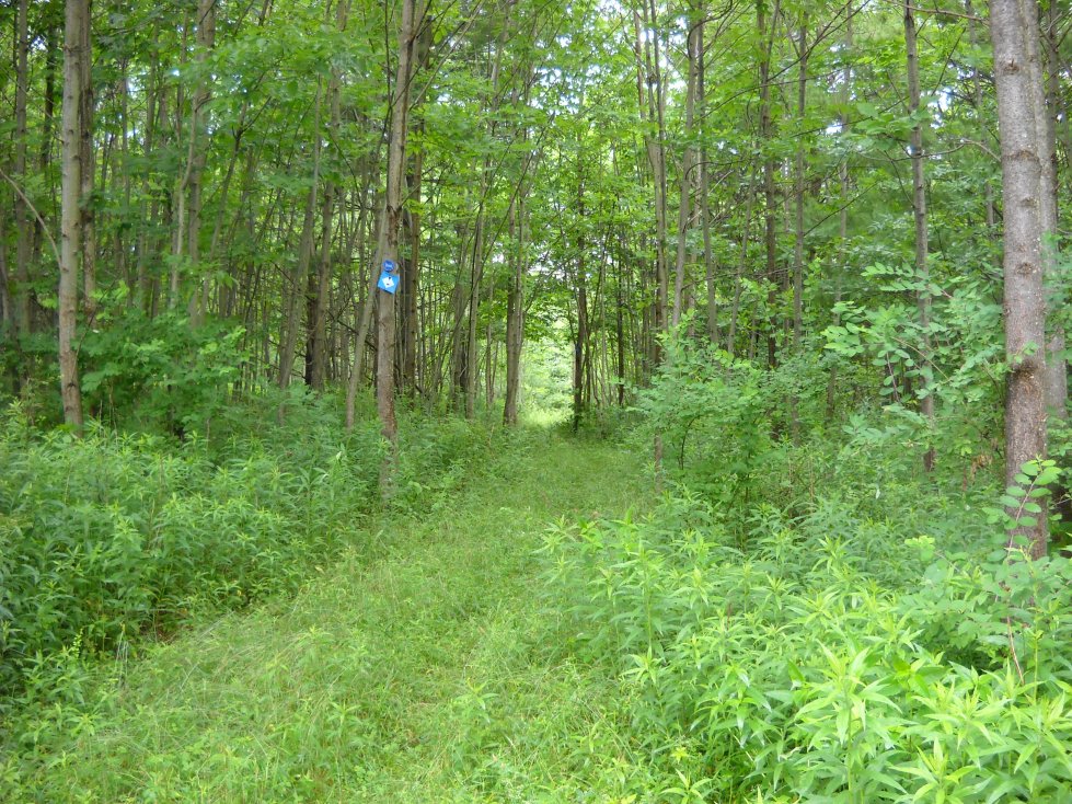
Here we are crossing a forest road. The trail continues southward over the bridge.
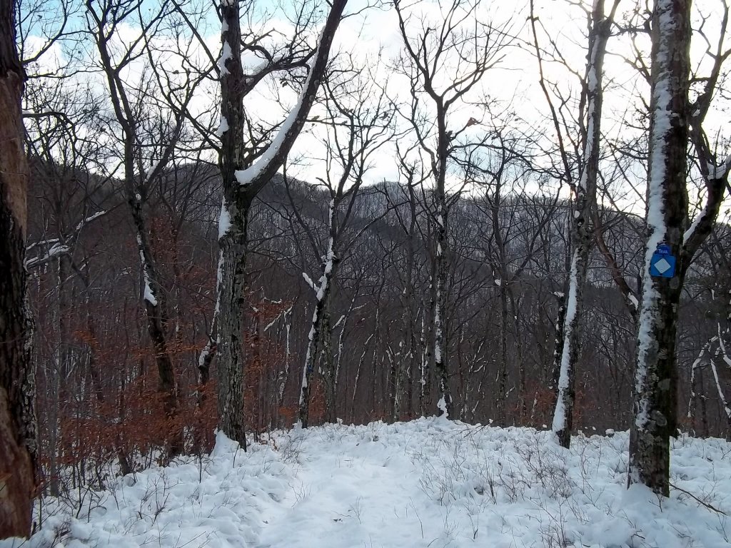
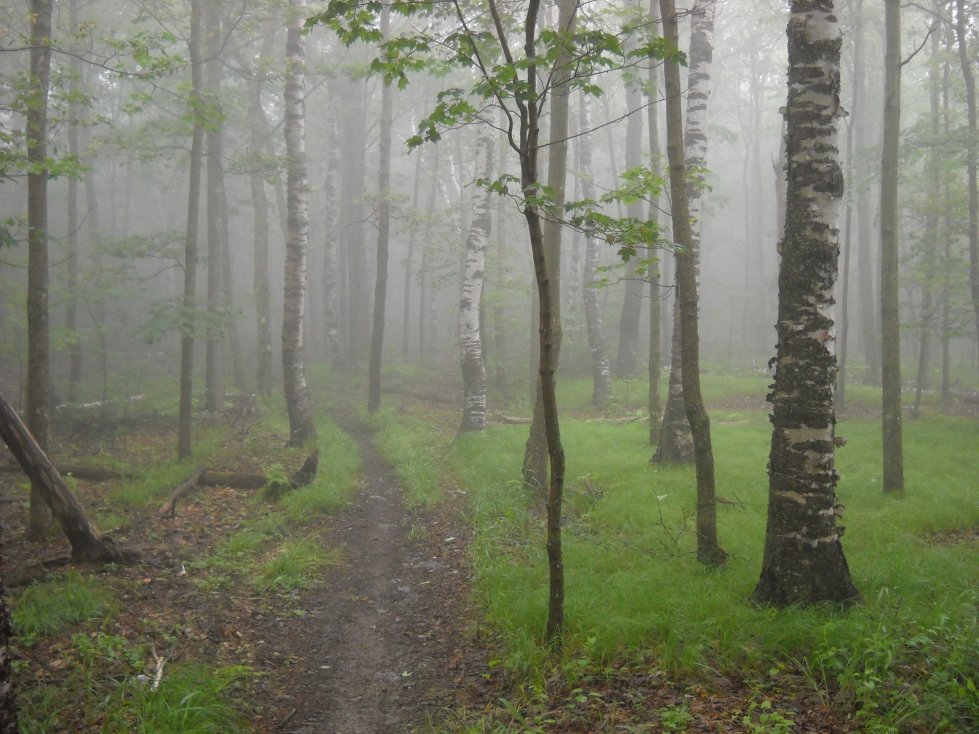
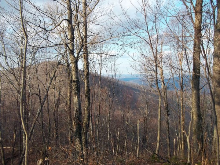
Hiking in the winter in good weather has its advantages. No only is the air clearer, but more can be seen through the trees without the foliage.
You can also reach the Taconic Crest Trail from the Prosser Hollow Trail, which is off of Route 22 in Petersburgh, New York.
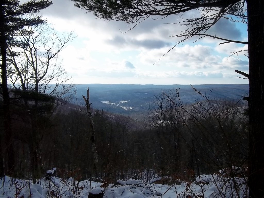
There is one clear lookout point north of the Prosser Hollow Trail junction. This is a view to the southwest in New York.
The other side provides a view to the east into Vermont. Both views seem to be man-made with vegetation having been cleared away.
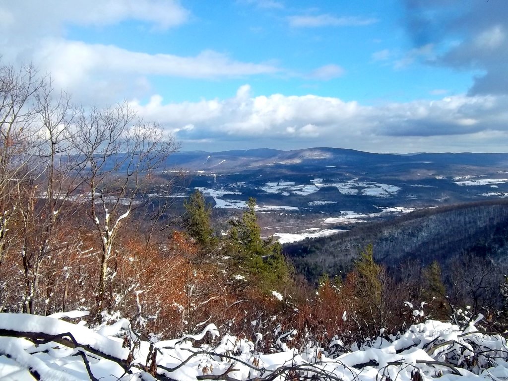
A view toward Pownal, Vermont showing a couple of high spots on the Taconic Crest Trail going south.
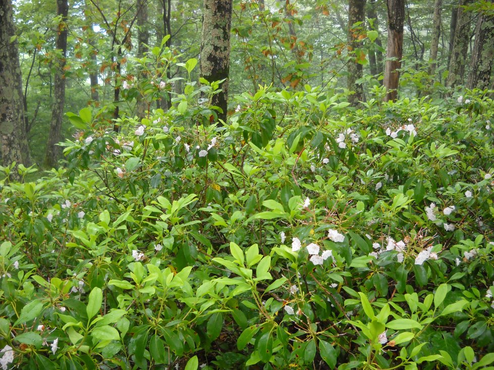
This area was home to the healthiest looking mountain laurels I have ever seen. Some blooms were open to the point where they were nearly flat.
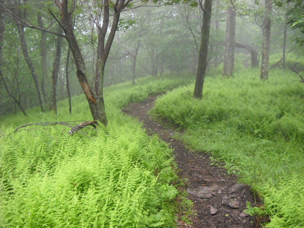
Ferns were found in abundance in summer, and so were large mushrooms that were being munched on by slugs, small ants and other insects.
Not great photography, but this is the way it is. The region is often cloud covered and wet.
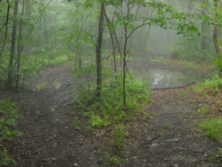
These "lagoons" are typical of low spots on the Taconic Crest Trail. They tend to be more common south of Berlin Mountain though. Partially, they are caused by illegal ATV use. I have never seen ATV's on the trail, so I assume that their use may be more of a nighttime activity.
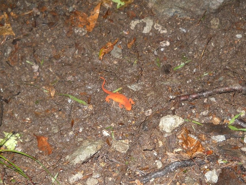
I noticed this orange thing on the trail as I was walking and thought that a kid dropped one of his plastic salamanders accidently. Then I touched it, and it moved! It is called a red-spotted newt.
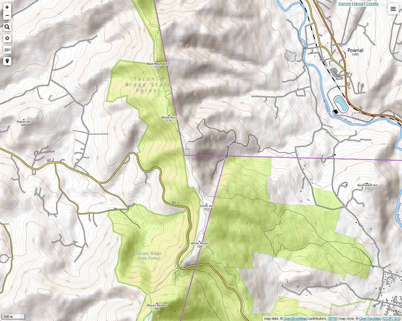
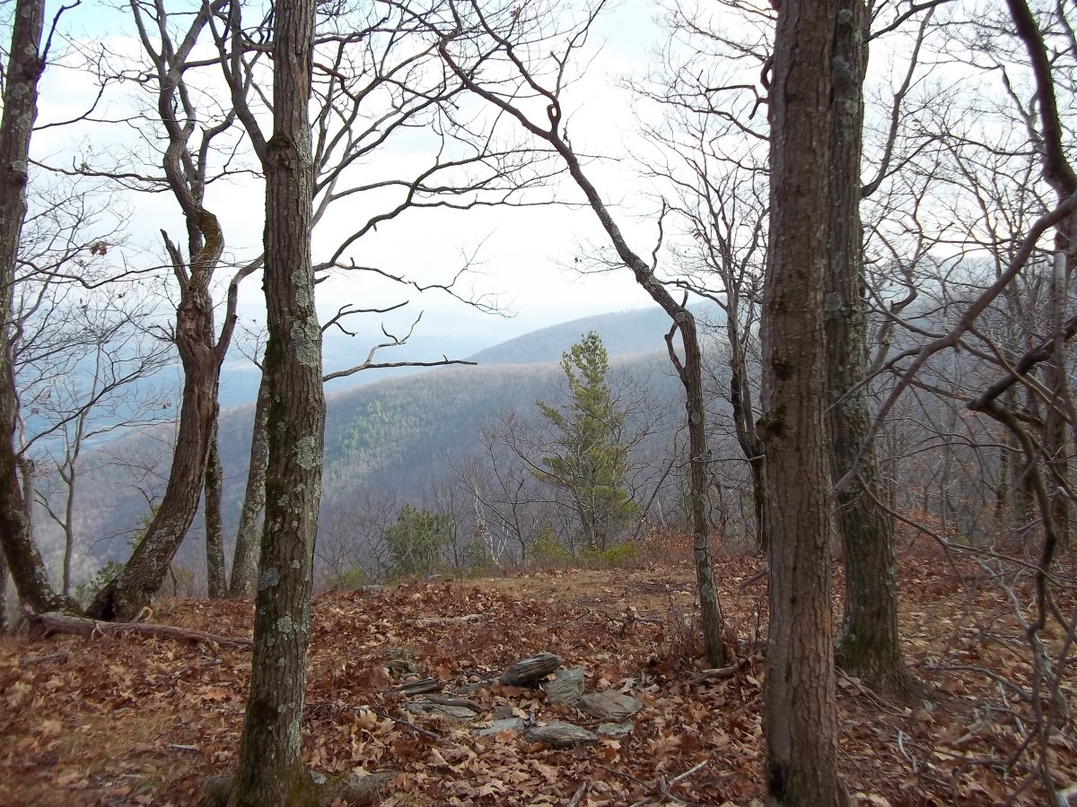
This point brings you close to Bald Mountain. The Snow Hole is another 1.5 miles away.
This is a fairly typical scene on the Taconic Crest Trail as you climb up and down the many small peaks on the ridge. This is a view to the north into Vermont. The Taconic Crest Trail goes over the peak seen here and then descends to Prosser Hollow.