Hiking the Taconic Range


Pine Cobble is located on the northeast end of Williamstown, Massachusetts near the Vermont border.  The are a few trails in the area that eventually merge into the Appalachian Trail before it crosses into Vermont.  Pine Cobble is not the highest elevation in this sector Instead, it is a rocky peak that provides views to the west, south and east, and a partial view to the north.  The trails to Pine Cobble are popular, and they are well maintained.  Adequate parking is located off of Pine Cobble Road, Which is off of North Hoosac Road.  There are two maps that show the trail route that I know of, the Massachusetts Trail Map by the Appalachian Mountain Club and the North Berkshire Trails map produced by the Williams Outing Club.   
 
OpenTopoMap of Pine Cobble

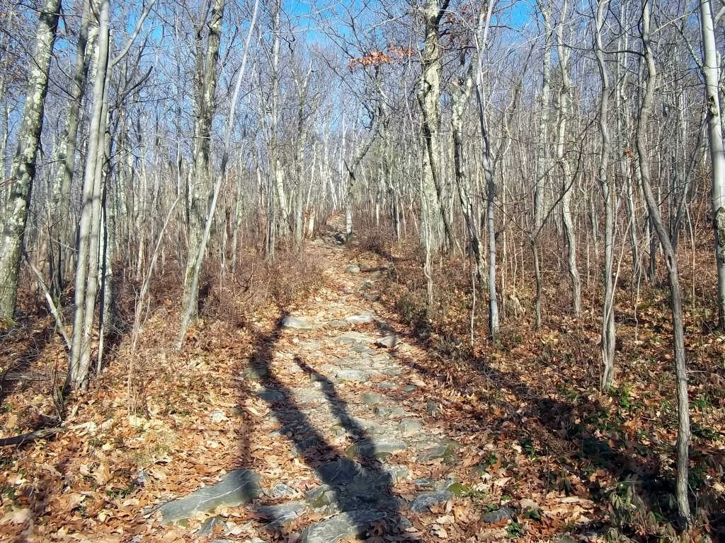
The beginning of the trail winds around a development for awhile and goes by a couple woods roads.  Be careful to follow the blue blazes and not the old roads.  Eventually, the trail makes a steady ascent.

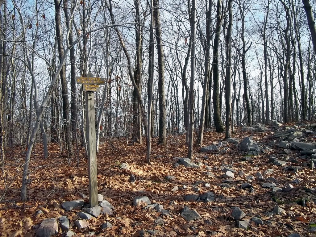
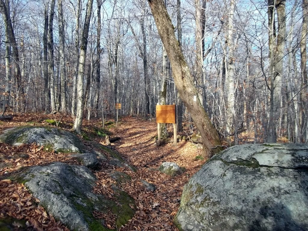
Signs are placed in various locations by the Williamstown Rural Land Foundation.

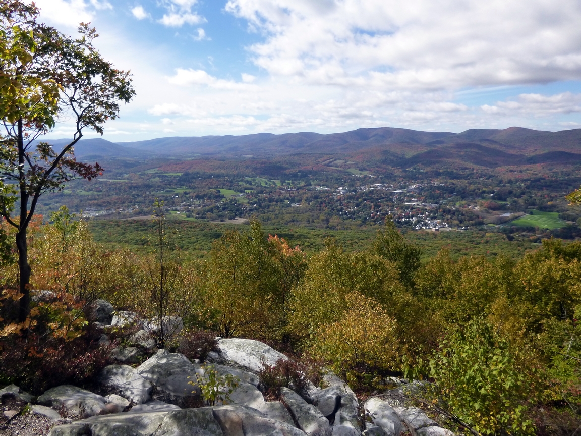
A view to the west from Pine Cobble toward Mt. Raimer and Berlin Mountain.

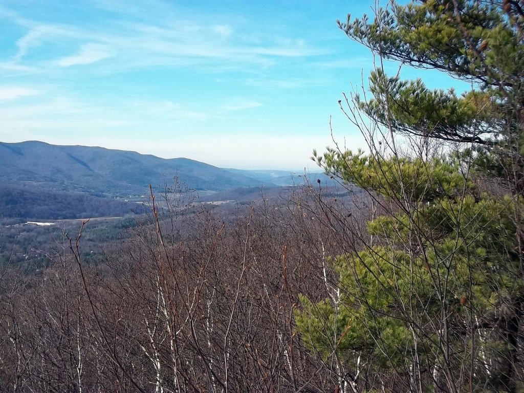
A view a little farther north toward the Hoosic River Valley and Route 346. 

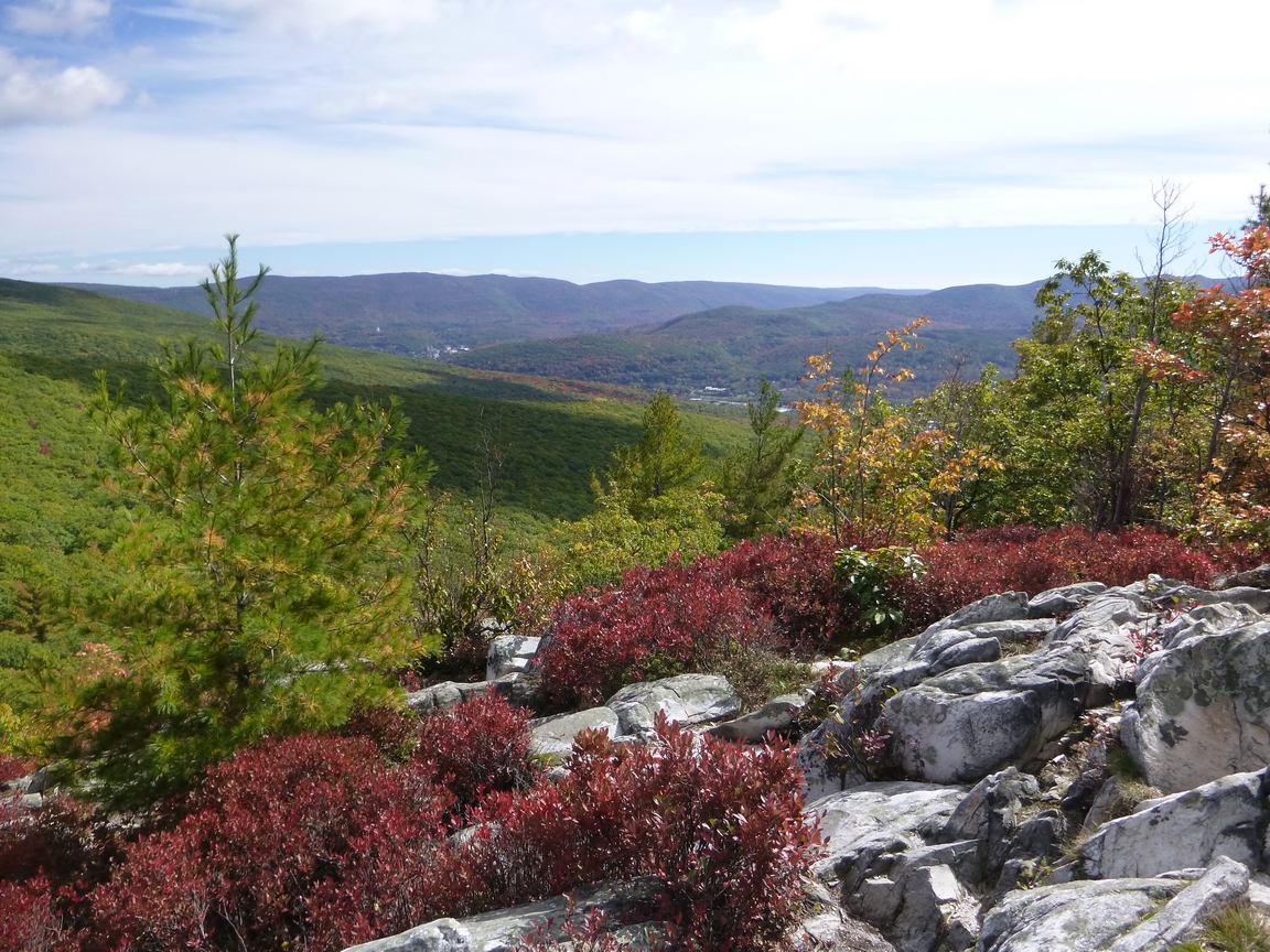
A view to the east toward North Adams.  Spruce Hill, another great hiking desitination, is in the distance.

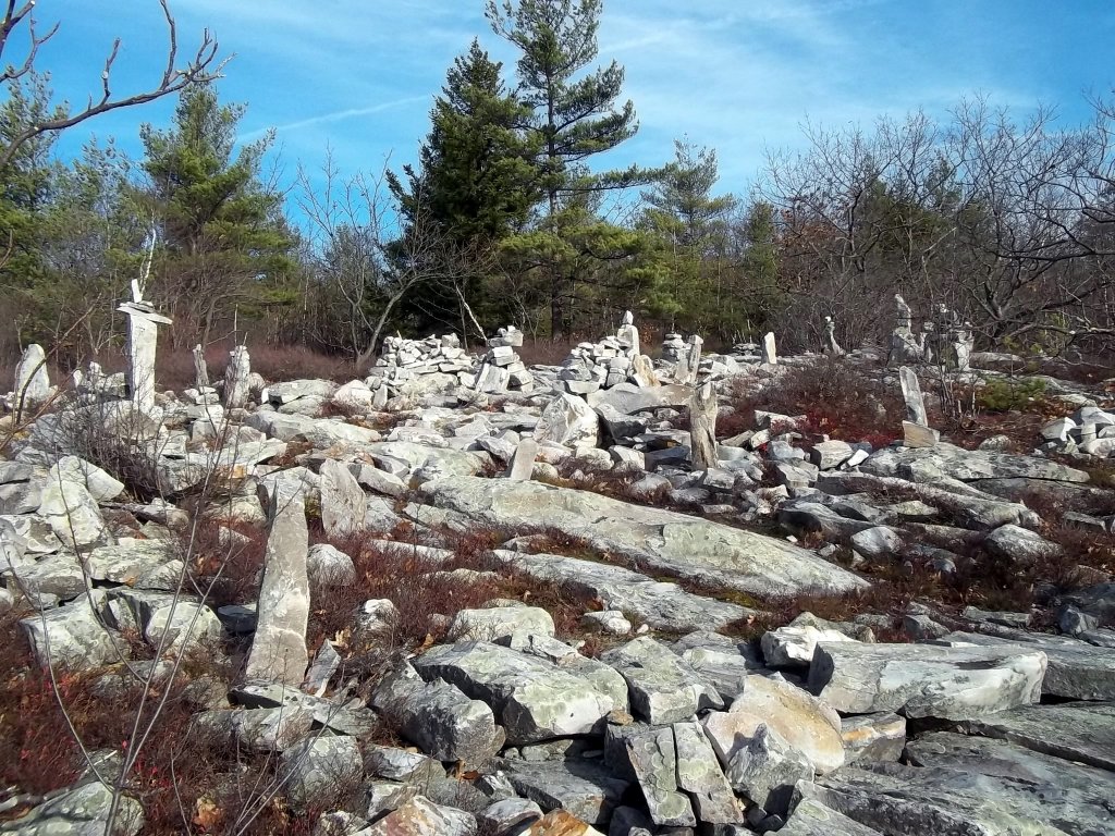
A very interesting collection of rock art along the trail. 

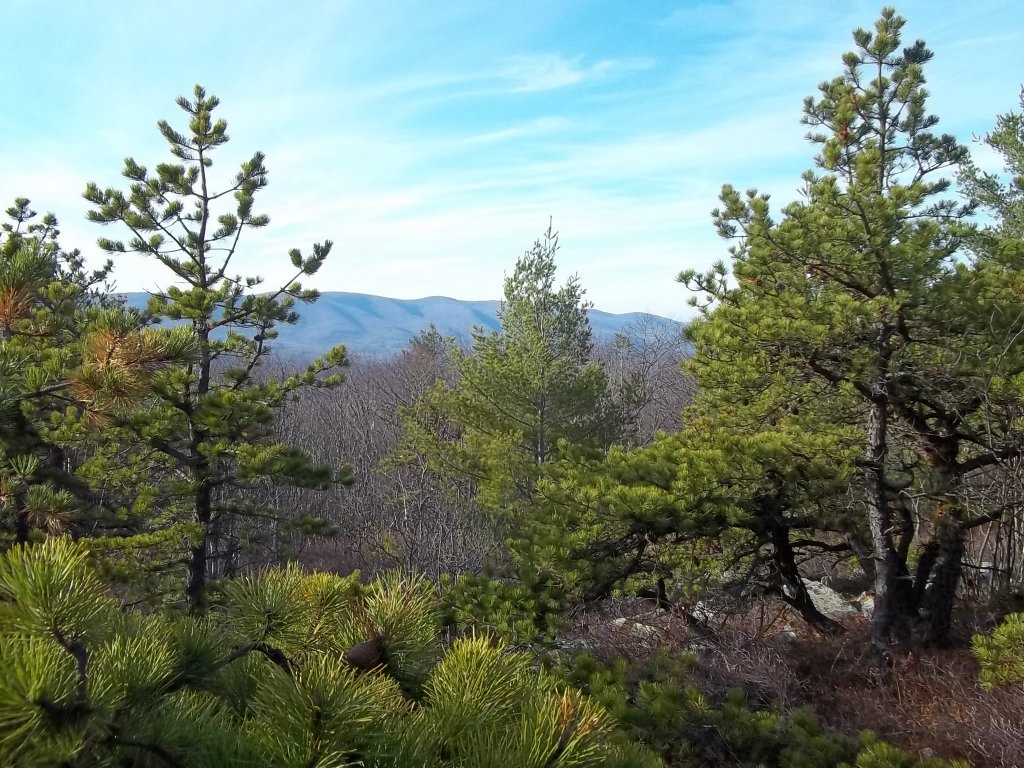
Another view toward the Taconic Range from the trail.

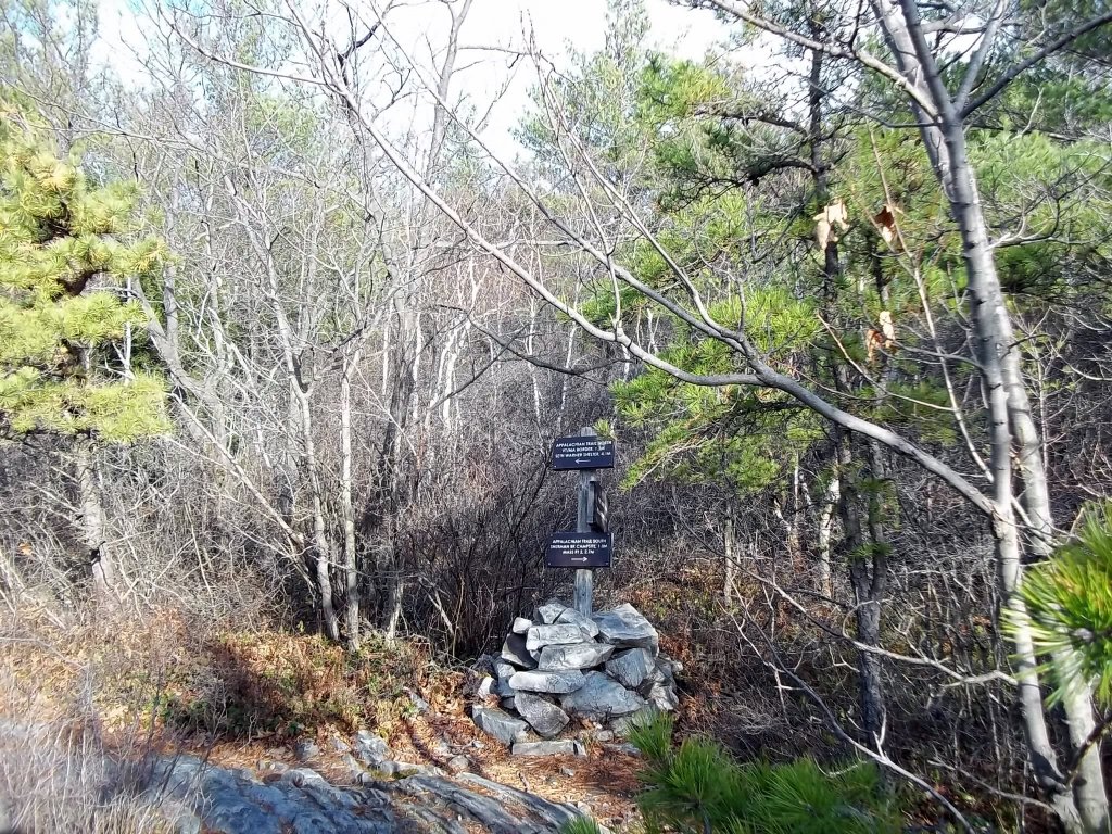
Eventually, you will reach the junction with the Appalachian Trail.

This is the Massachusetts-Vermont border. Welcome signs are posted by both states here.

Make a free website with Yola