Misery Mountain is a long ridge with many peaks running north/south dividing part of New York and Massachusetts. It runs roughly from Williamstown, Massachusetts to Stephentown, New York. There is some confusion as to where it begins and ends, but we can say that it runs roughly from Rounds Mountain on the south end to Berlin Mountain to the north. The mountain is exceptionally interesting when studying the aerial photography or the topographic maps because it is somewhat snakelike with many projecting ridges and hollows. Most of the top ridge is thickly forested, and distant views are usually obscured. The mountain can be approached from several side trails. Since much of the mountain is under private ownership, trail conditions tend to be inconsistent. Also, many forest roads and random local trails tend to cross through the region. Good maps and a compass are necessary in some areas.
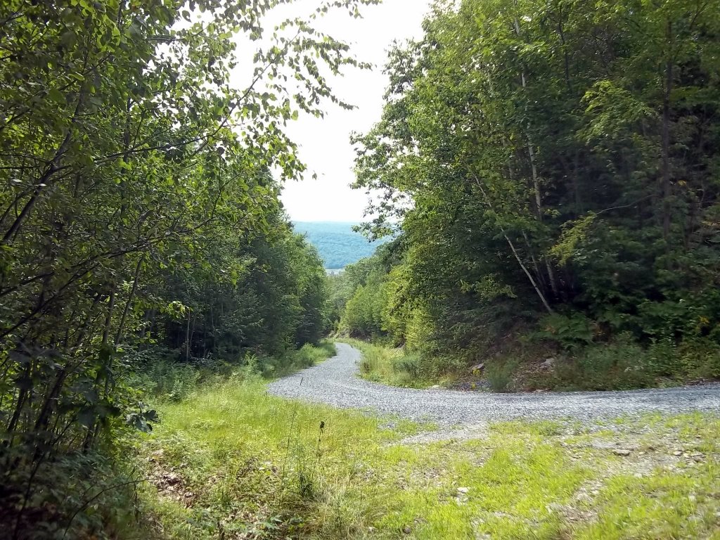
A convenient trailhead to Misery Mountain is from Robinson Hollow Road off of Giles Road in North Stephentown, New York. Robinson Hollow Road is a gravel road with a parking area at the top.
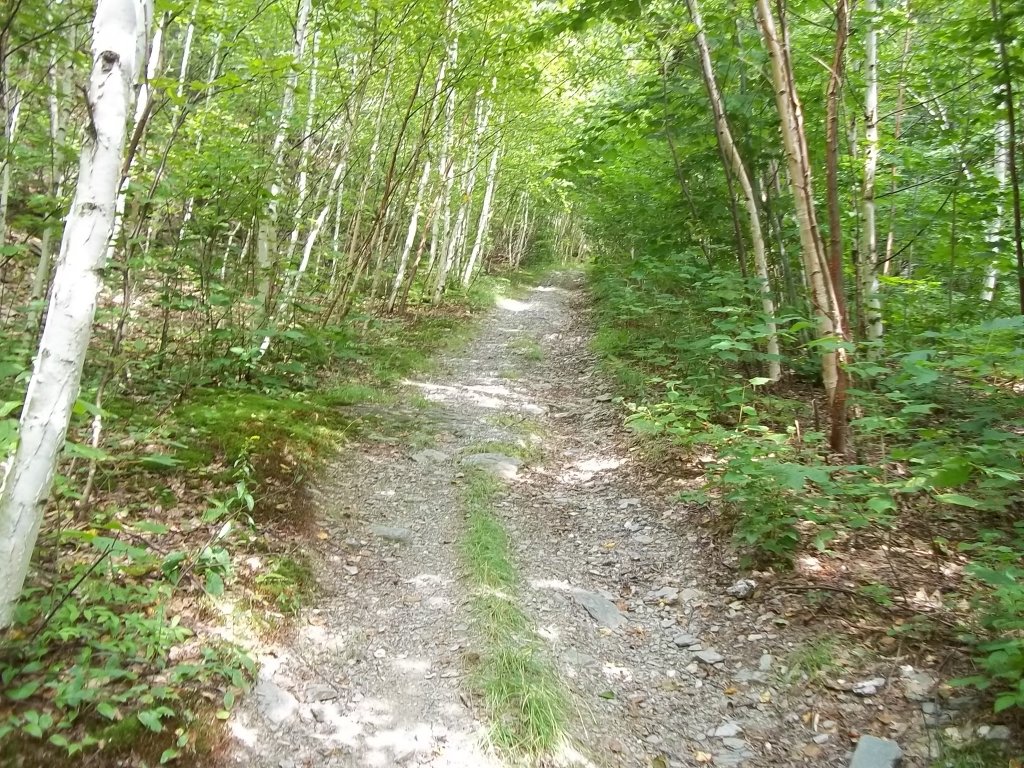
The Robinson Hollow Trail is easy to follow. Most of it appears to be a narrow extension of the road. New markers were nailed up recently.
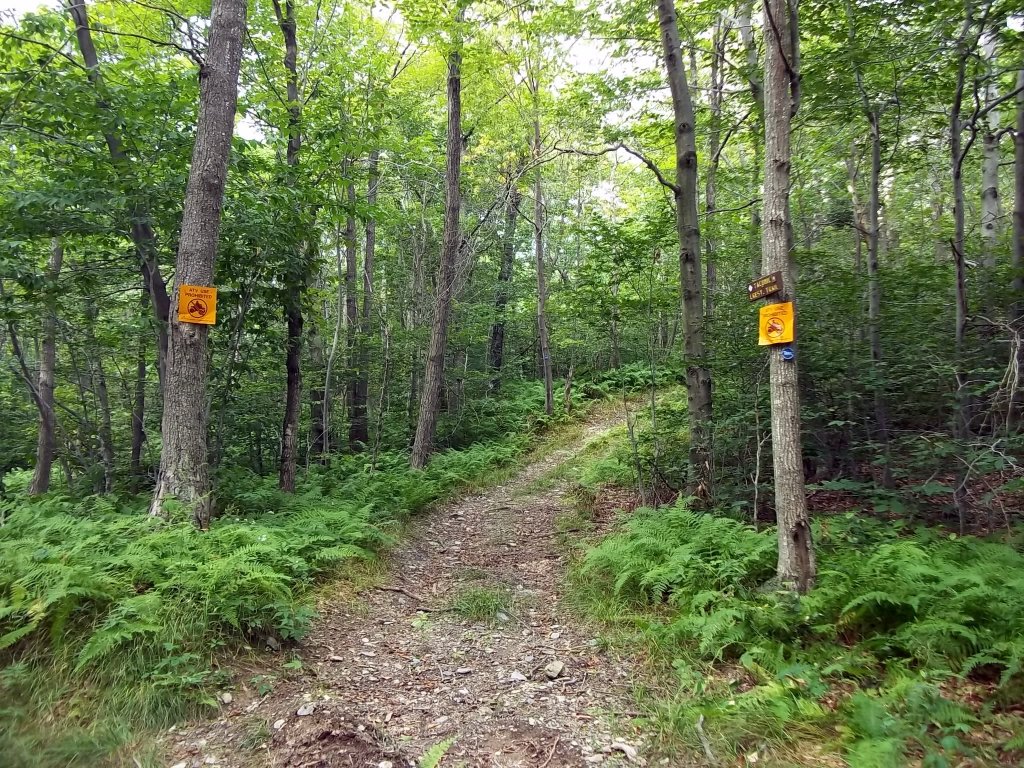
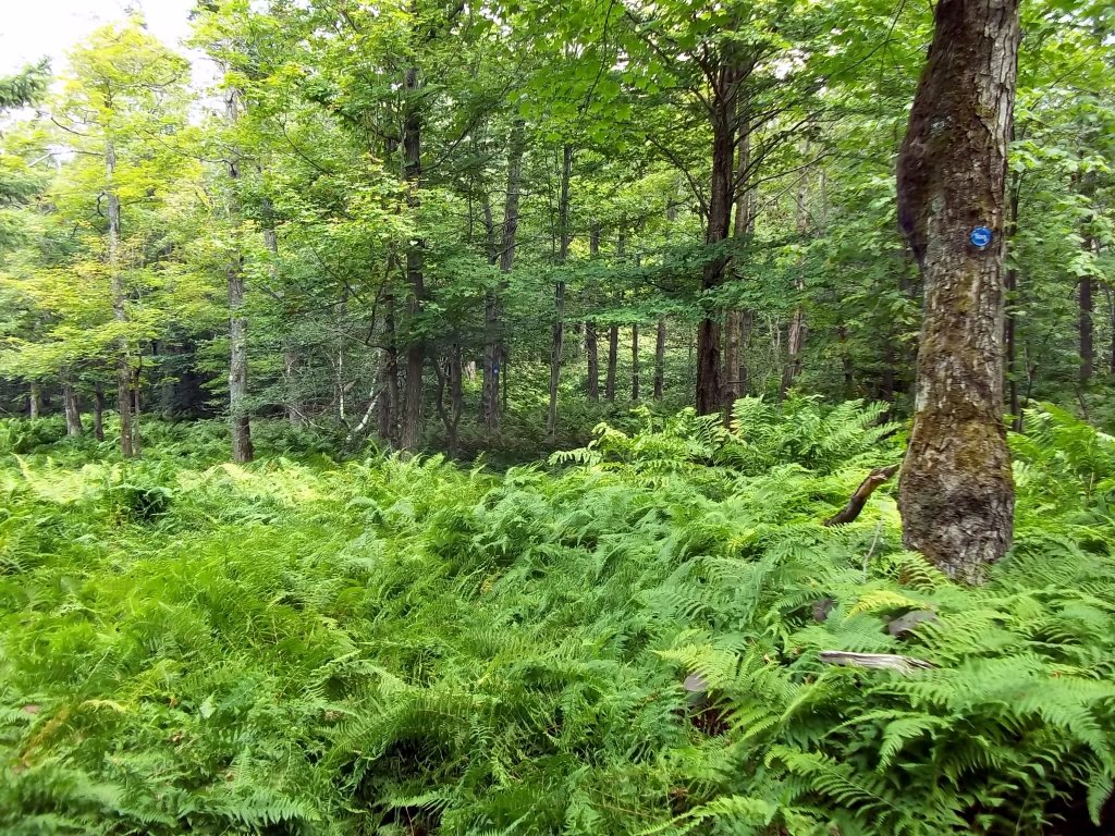
The state put signs up in various spots to warn ATV drivers to keep out. Nevertheless, tracks can still be seen in places on the ridge. The Robinson Hollow Trail eventually meets up with the Taconic Crest Trail, which runs across the entire ridge. This trail is well marked and easy to follow.
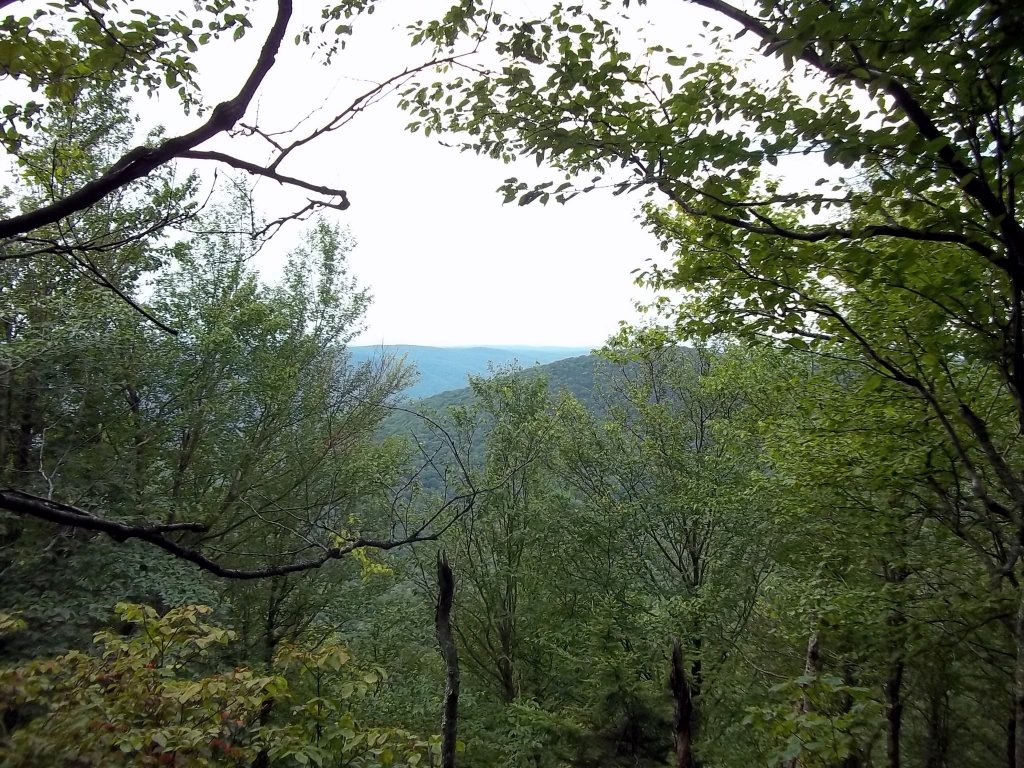
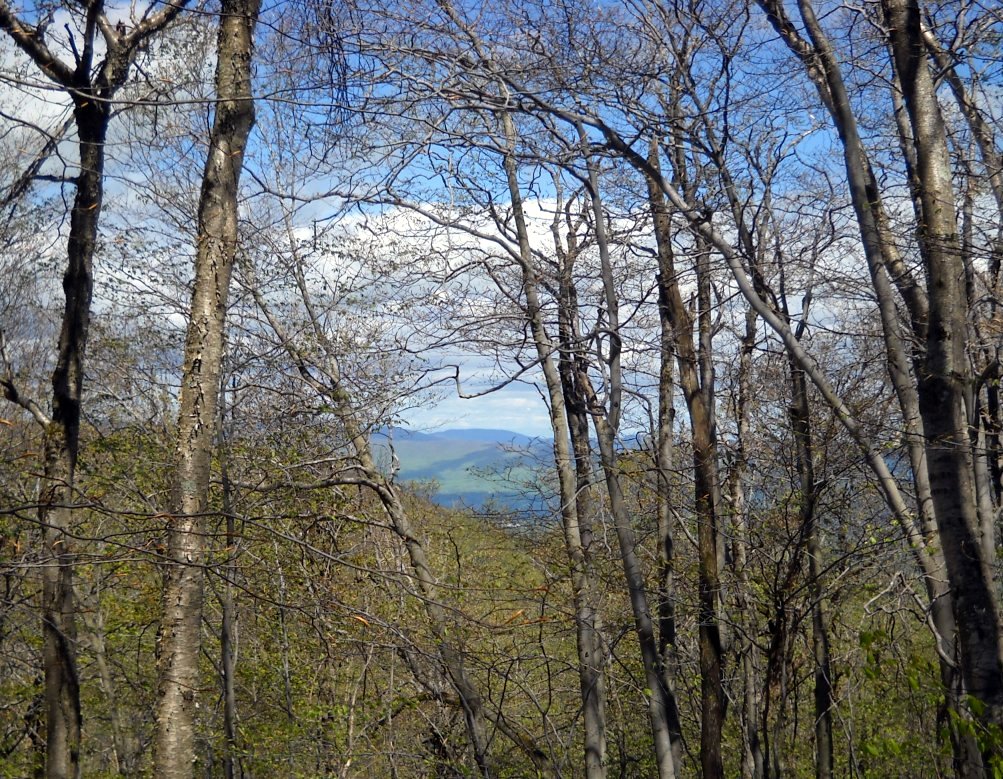
The view west a little south of Mattison Hollow close to the Taconic Crest Trail where the forest is thin.
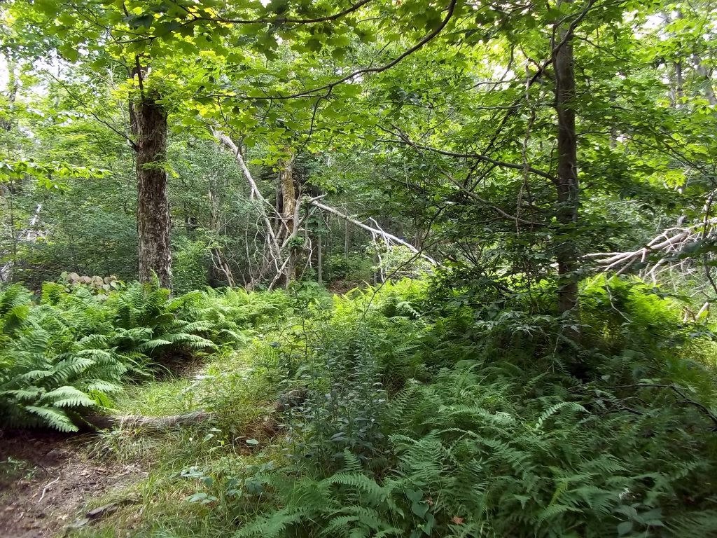
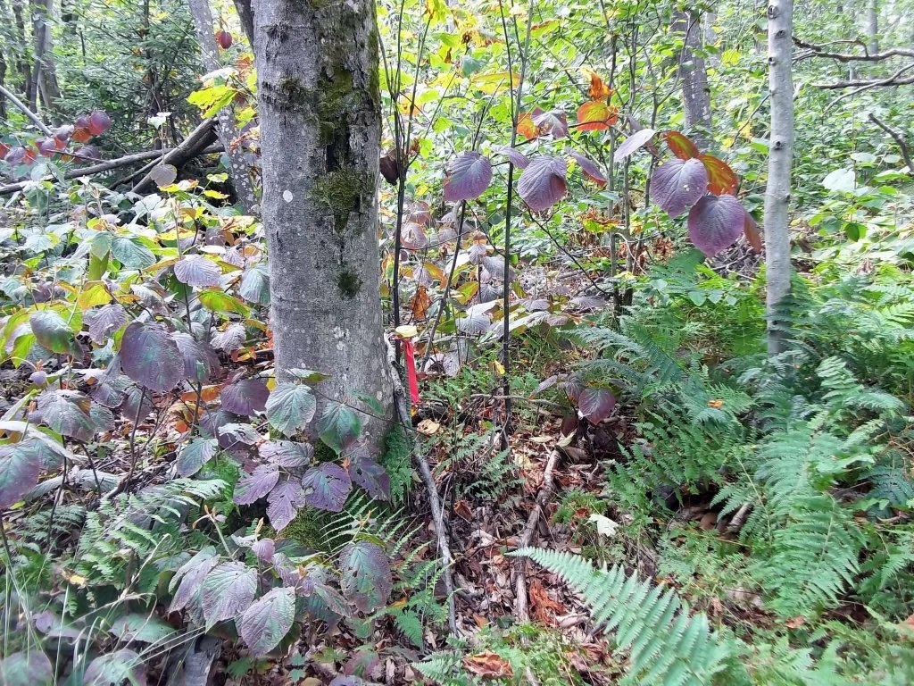
Many trees have been blown down by the strong winds, most likely during ice storms. You can see more damage when the ground cover disappears.
The Taconic Crest Trail has been rerouted in a large area between Robinson Hollow and Mattison Hollow. This trail avoids many of the bigger ruts and puddles caused by the ATVs.
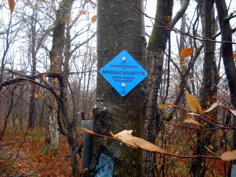
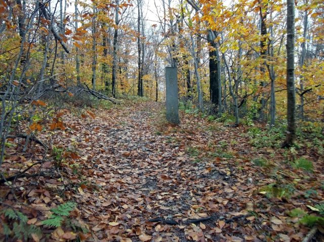
Eventually, the Taconic Crest Trail runs into Massachusetts. The yellow pole is a border marker. If you kept going north, in a couple of hours, you would reach the Phelps Trail and then Berlin Mountain in New York again.
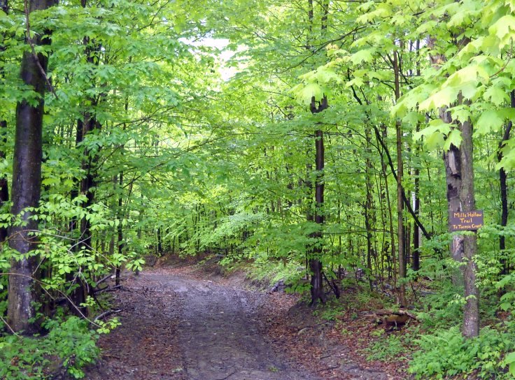
Misery Mountain can be approached from the Mills Hollow Trail on Oblong Road in Williamstown, Massachusetts. There are many trails and forest roads in this location, and there are no clear trail markings past this point.
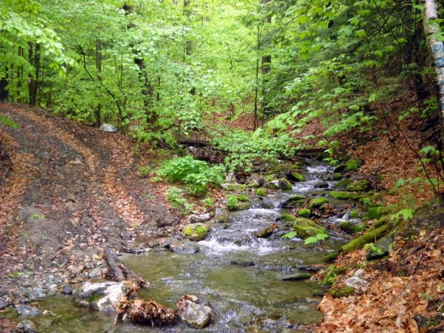
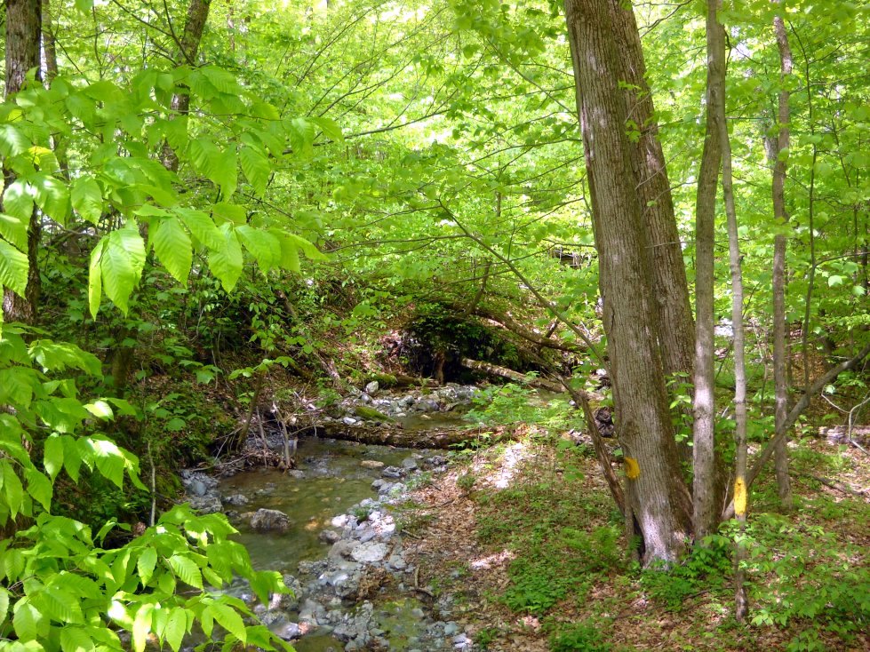
Here, a forest road goes right through a brook.
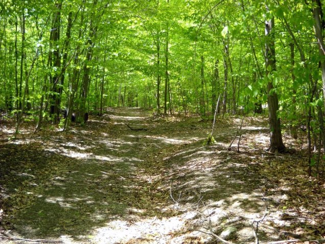
If you want to get to the Taconic Crest Trail, you must take a right at this junction. Notice the rusty tanks on the left. The trail was unmarked, but the path was very clear. Just don't make any turns.
A view of Mt. Greylock from a clearing near a forest road. It looks as though it's getting some rain.
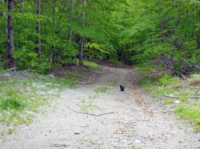
This looks like a big black squirrel, but it was a porcupine. It didn't see me until I got right up to it. Then it nervously crawled away into the branches on the right.
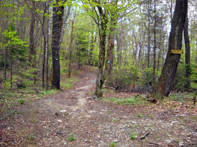
This is the top of the Mills Hollow Trail where it meets the Taconic Crest Trail. It also joins with the Southeast Hollow Trail that begins in Berlin, New York.
A section of the Taconic Crest Trail between the Mills Hollow Trail and the Phelps Trail.
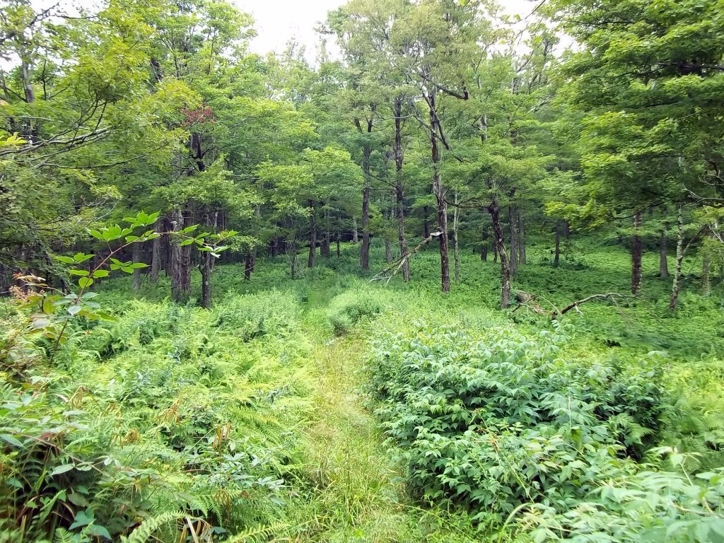
Following a brook on a lower section of the Southeast Hollow Trail in Berlin, New York. The trailhead is on Southeast Hollow Road, which is off of Route 22. Roadside parking is limited. Both this trail and the Mills Hollow Trail are about 1.6 miles long.
This concrete state line marker is located on the Southeast Hollow access trail. There are others like it, one in Mattison Hollow and another on the Taconic Crest Trail just south of Mattison Hollow. (photo: Paul Nelson)
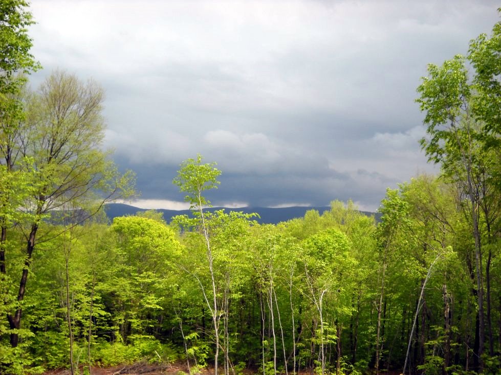
Hiking up and down the many peaks of Misery Mountain on the Taconic Crest Trail here. This is a view toward the northeast, close to the Vermont-Massachusetts border. Notice the cloud shadows. Also, foliage is emerging from bottom to top in the middle of May.
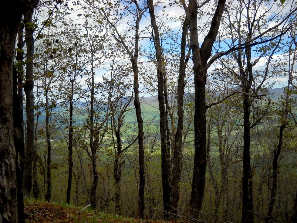
Mt. Greylock could be seen through the trees on much of the trail south of the Mills Hollow-Southeast Hollow junction. The color contrast created by new foliage was an absolutely stunning work of art.
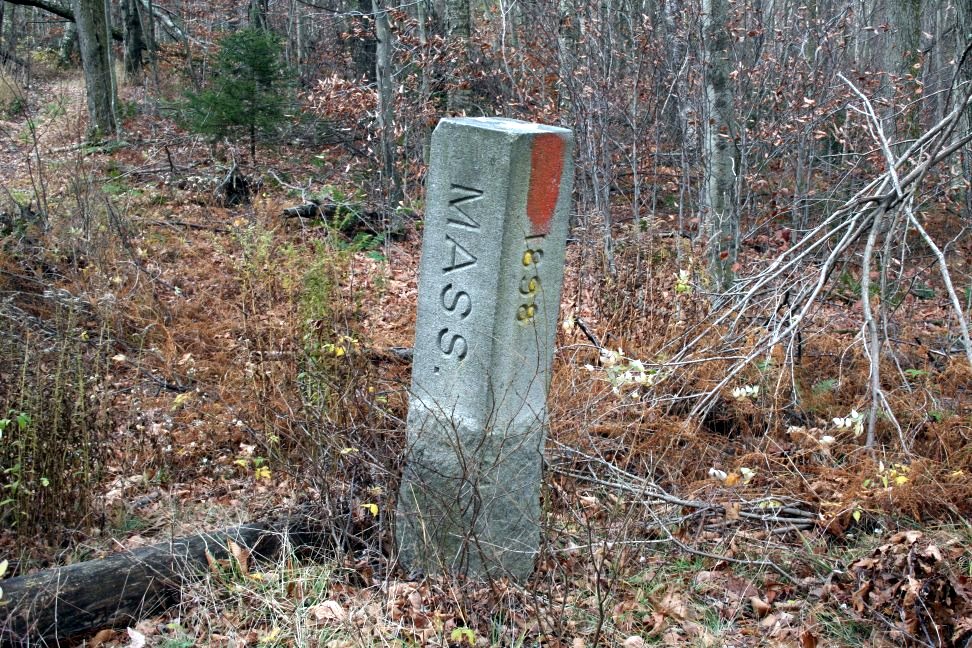
This concrete block marks the border between New York and Massachusetts south of Mattison Hollow on the Taconic Crest Trail.