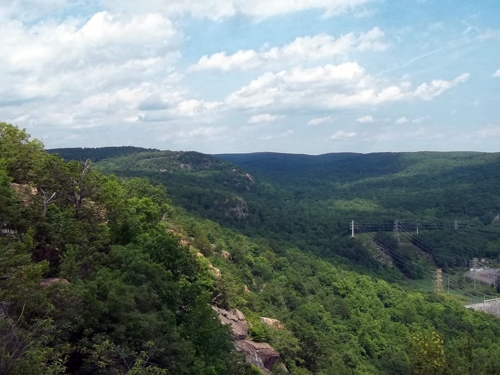
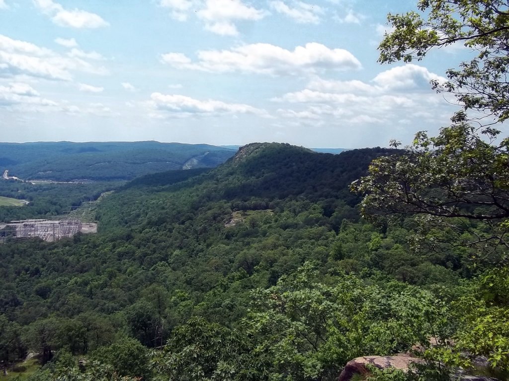
Harriman State Park, in southern New York State is larger than some towns. It is situated south of West Point, west of the Palisades Interstate Parkway on the Rockland-Orange County line. The park has many lakes and a seemingly endless amount of hiking trails. Several paved roads run across the park. There are designated parking areas for hiking and other recreational uses. Top elevations are modest, in the 1300 foot range. The park is extremely rocky though, and many ridges are composed of nearly solid rock. This affords hikers countless distant views in many directions. It is possible to see the Catskills to the north and New York City to the south from different locations. There are also stunning views of the hills to the west and the Hudson River to the east. This park is a playground for adults in many respects. Expect to meet people from all over the region. You will see towers, old iron mines, ruins, unusual rock formations, varied wildlife and more along the beautifully maintained trails (not to mention the many other unofficial paths). The Harriman-Bear Mountain Trail map set printed on nearly indestructible Tyvek from the New York-New Jersey Trail conference is an excellent resource. Another excellent resource is The Complete Harriman State Park website. Even though hikers generally accept the fact that they have to deal with various annoying insects during certain times of the year, Harriman State Park has more than its fair share of large ticks. You will need to check for them while you are hiking and after you get home. Click here for more detailed versions of the maps below.
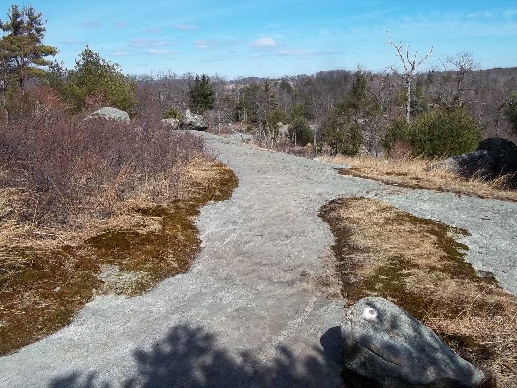
One of the many rocky surfaces on the Ramapo-Dunderberg Trail. This location is north of Route 106. The top elevation is around 1382 feet.
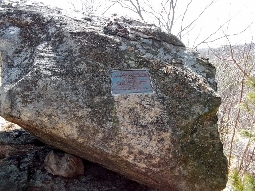
The Goldthwaite Memorial is dedicated to a formerly avid hiker, George Goldthwaite.
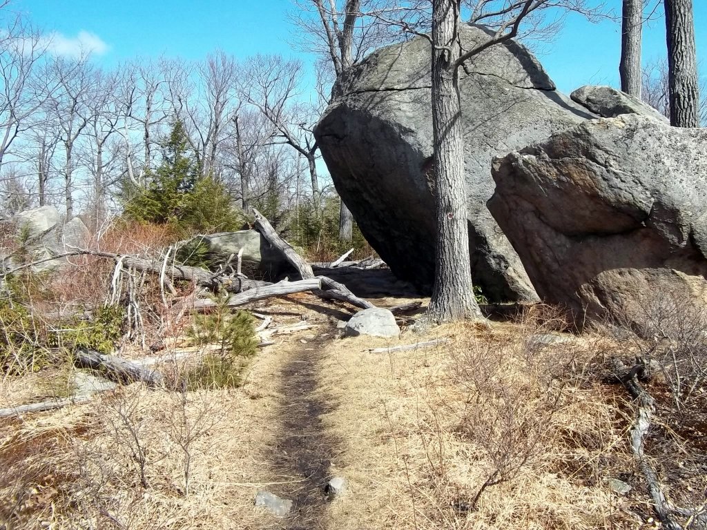
There are many interesting rock formations and other attractions in the park. This one is called Ship Rock.
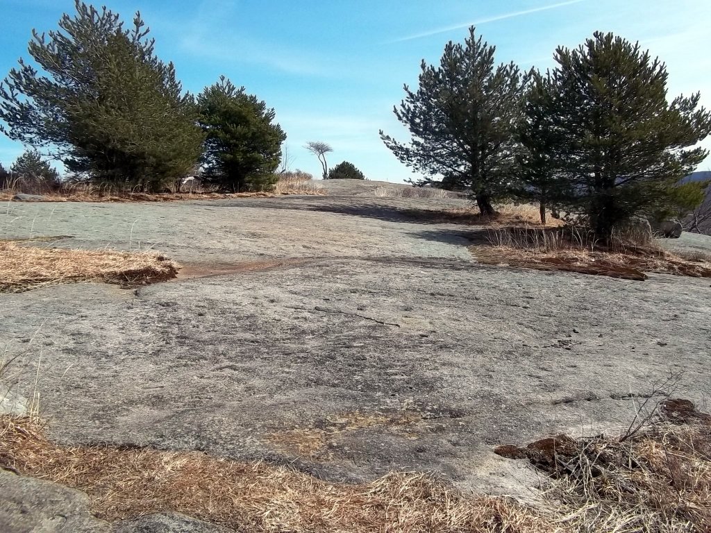
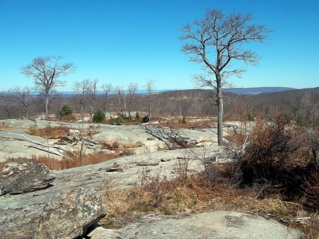
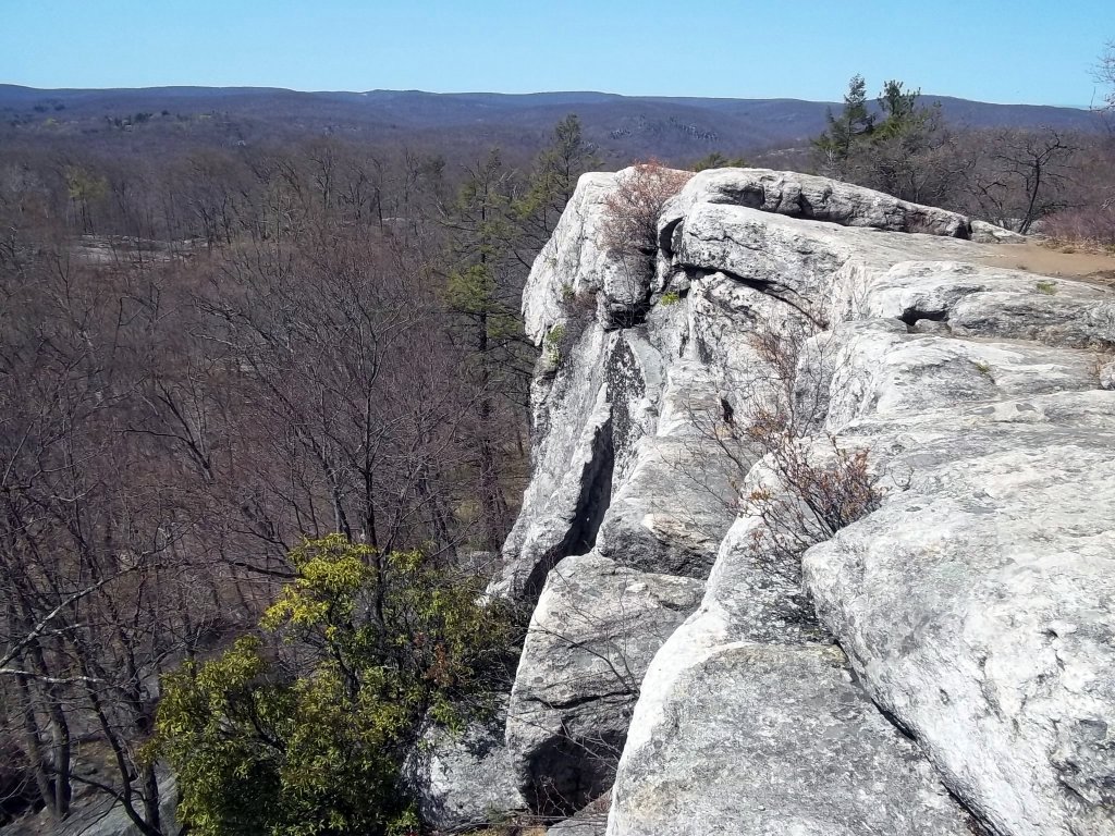
More rock outcrop. The rocky surfaces make this park unique. Some of the formations have to be seen in person to appreciate, especially when it comes to subtle color variations. This is even more true when viewing them from a distance. They tend to reflect various shades of gray and pink in the sun.
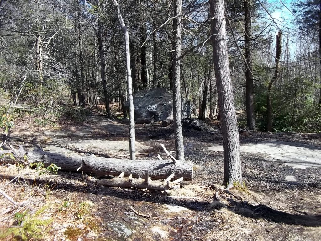
One of the many trail junctions. This one is called Times Square.
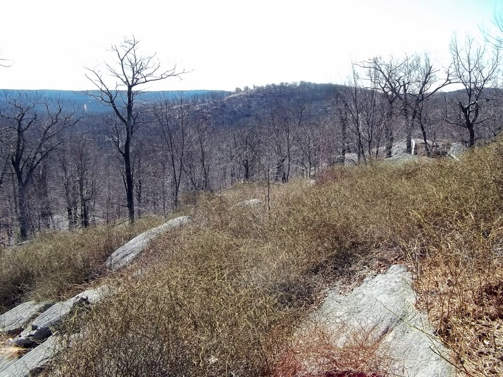
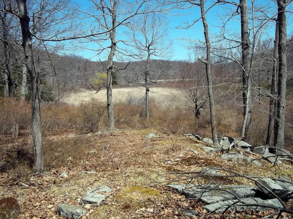
You will see endless small peaks from various locations. Many of them are rocky with scattered trees. Each clearing offers different views of the park and beyond.
Many of the hills offer views of the lakes below. This is Lake Wanoksink from the Seven Hills Trail. If you want to be able to identify your photos later on, take notes. It took me awhile to identify this when going back to all of photos that I had from the different trails around the park.
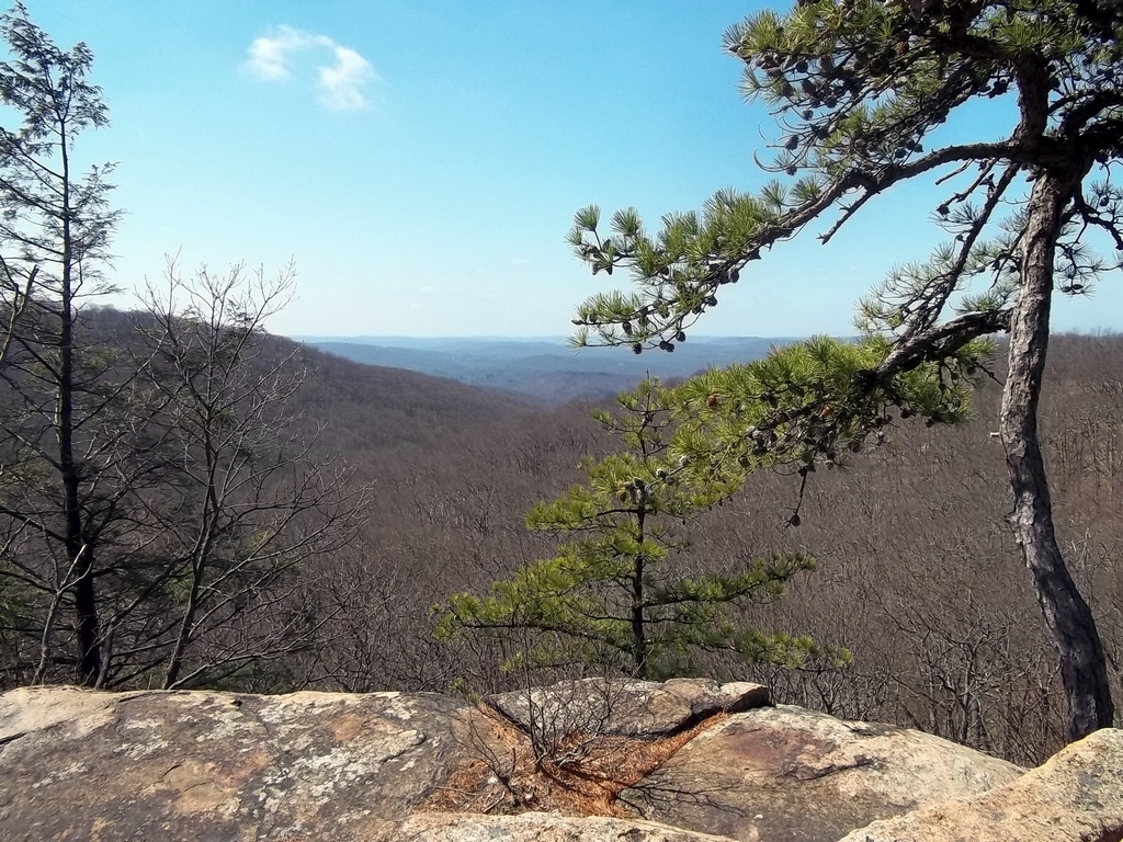
A view to the west from the Seven Hills Trail.
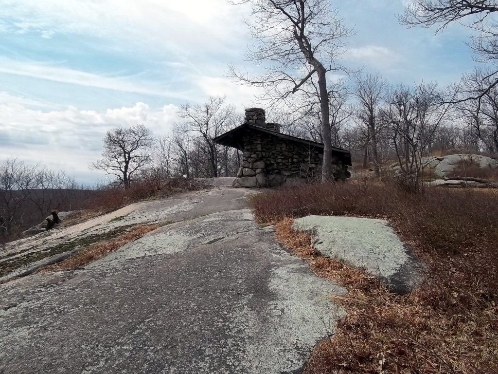
This shelter is located on Big Hill. There is a fire tower to the northeast that you can climb to get 360 degree views.
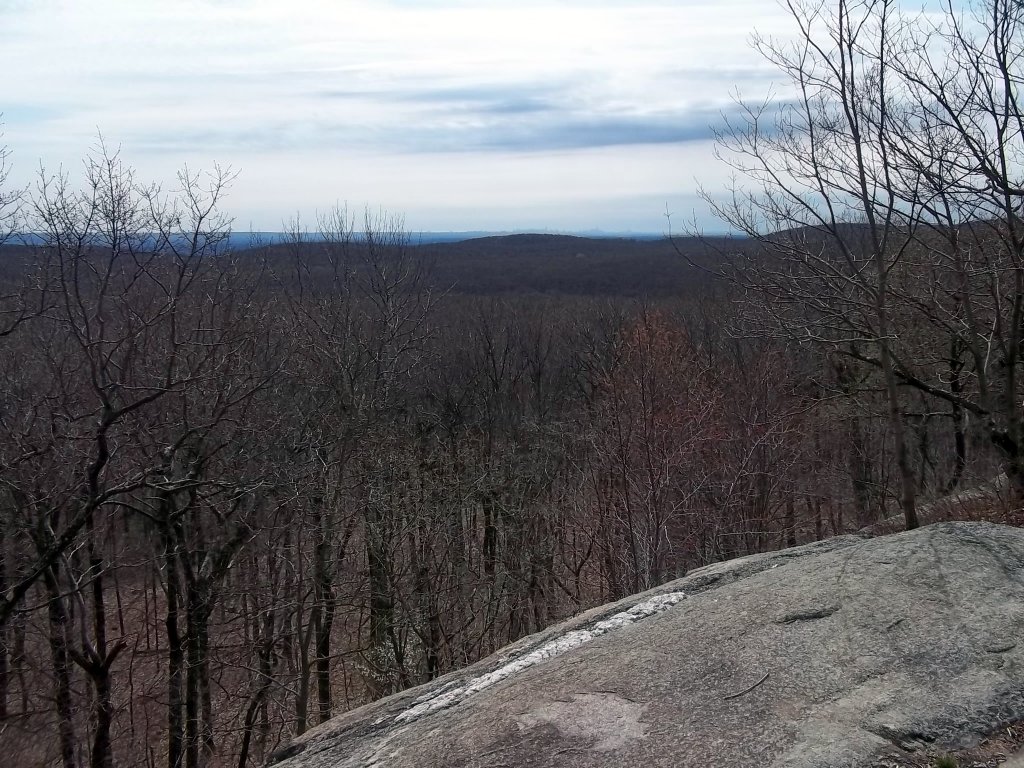
This is a view near the shelter on Big Hill. You can see New York City in the distance. Everything seems much larger and clearer in person.
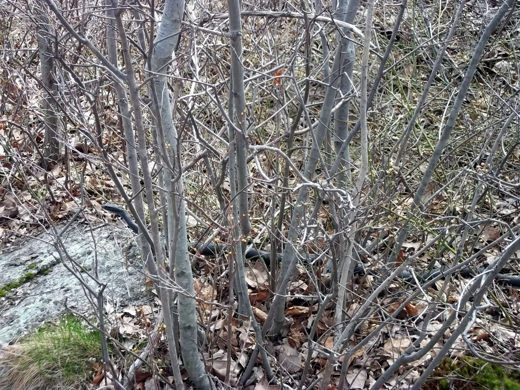
After some discussion, we concluded that this was a rat snake. It was solid black and about four feet long. It rattled when I got close to take a picture. Rat snakes can rattle, but they are not venomous.
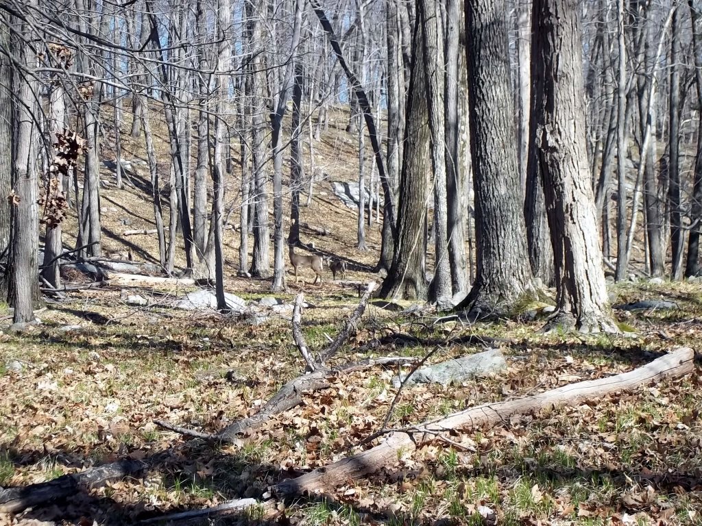
This is one of several sightings of deer in the park. You may see them practically anywhere on certain occasions. I think that they may be more common near streams and swamps though.
Another picture of the massive outcrop of rock in the area. The New York-New Jersey Trail Conference map marks places where there are scenic views, but there are some that are not on the map since the area is so open.
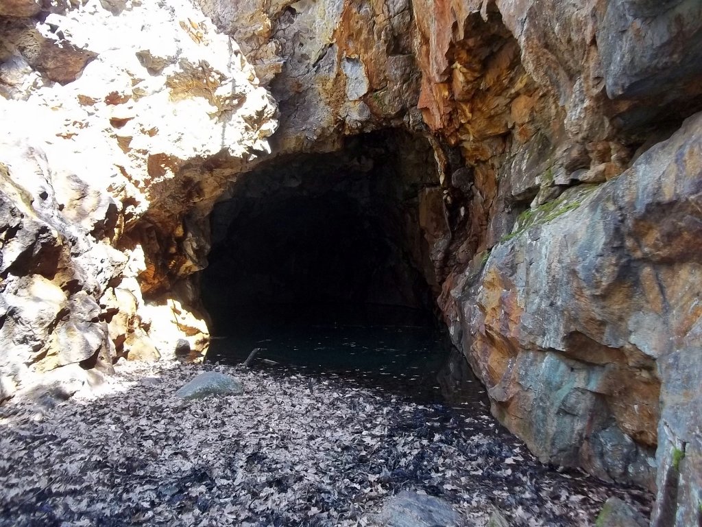
One of the abandoned iron mines. The park was originally the site of extensive iron mining. Later on, the land was donated to the state.

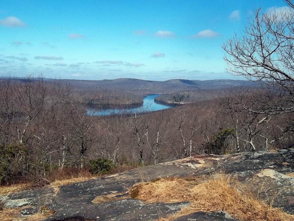
This is view Lake Stahahe from Stahahe High Peak on the west end of the park. You are looking to the southwest toward Route 106 where there are several parking areas.
This is Black Ash Swamp from the Blue Disc Trail, another location where I spotted a seemingly unconcerned doe.
There is a cliff on the junctions of the Blue Disc, White Cross and Tuxedo-Mt. Ivy Trails. Many people bring dogs to the park to hike with. There are several locations where you would want to keep a close eye on dogs and children.
Russian Bear in the distance from Ramapo Torne.
Ramapo Torne from Russian Bear.