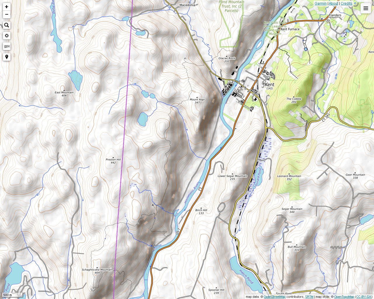
The Appalachian Trail runs through much of western Kent, Connecticut. You can pick it up easily on Route 341 since there is convenient parking on the side of the road. Then you can head southwest on the trail towards New York State and Schaghticoke Mountain. On the way you will cross Mt. Algo, Thayer Brook and another unnamed peak that is marked elevation 1403' on U.S.G.S. topographic maps. Peak 1403' has a lookout toward the Housatonic River Valley. The hike to peak 1403' takes about 3 hours, round-trip. By the way, the Appalachian Trail route is incorrect as shown on U.S.G.S. topographic maps here. The trail has been moved extensively in this region.
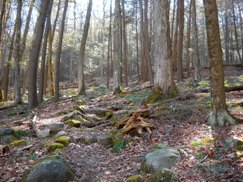
The Appalachian Trail has a steep and rocky start.
Crossing Old Barn Road that connects to Schaghticoke Road before continuing the climb up the rocky hill.
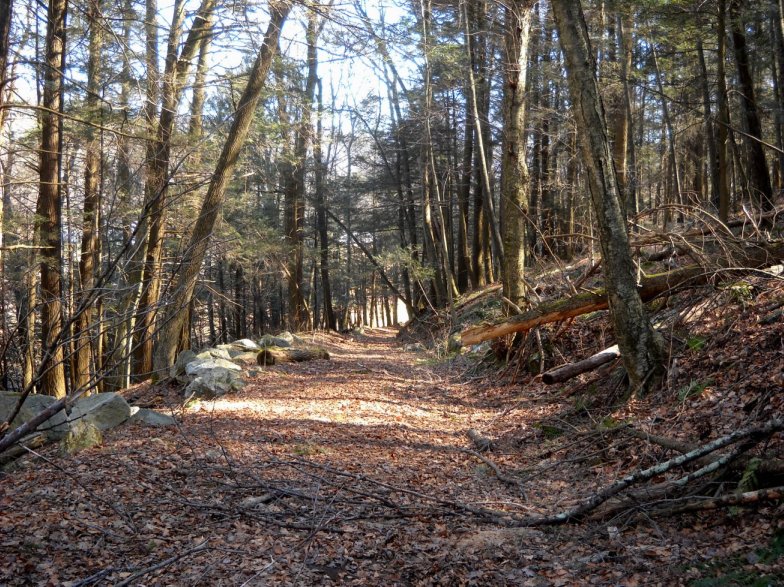
The trail becomes somewhat park-like for awhile. There is a brook off to the right that flows into Macedonia Brook.
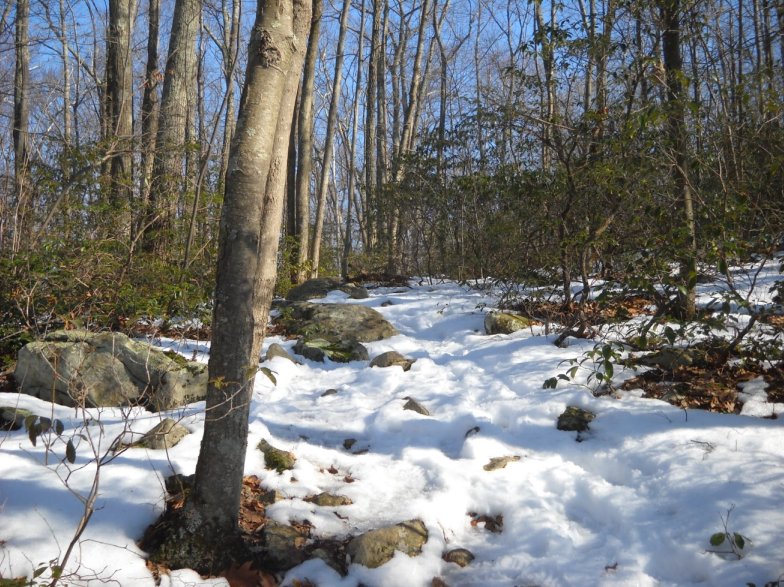
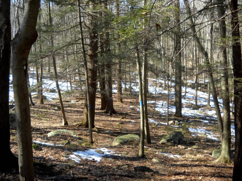
Snow was still on the ground at higher elevations in early March.
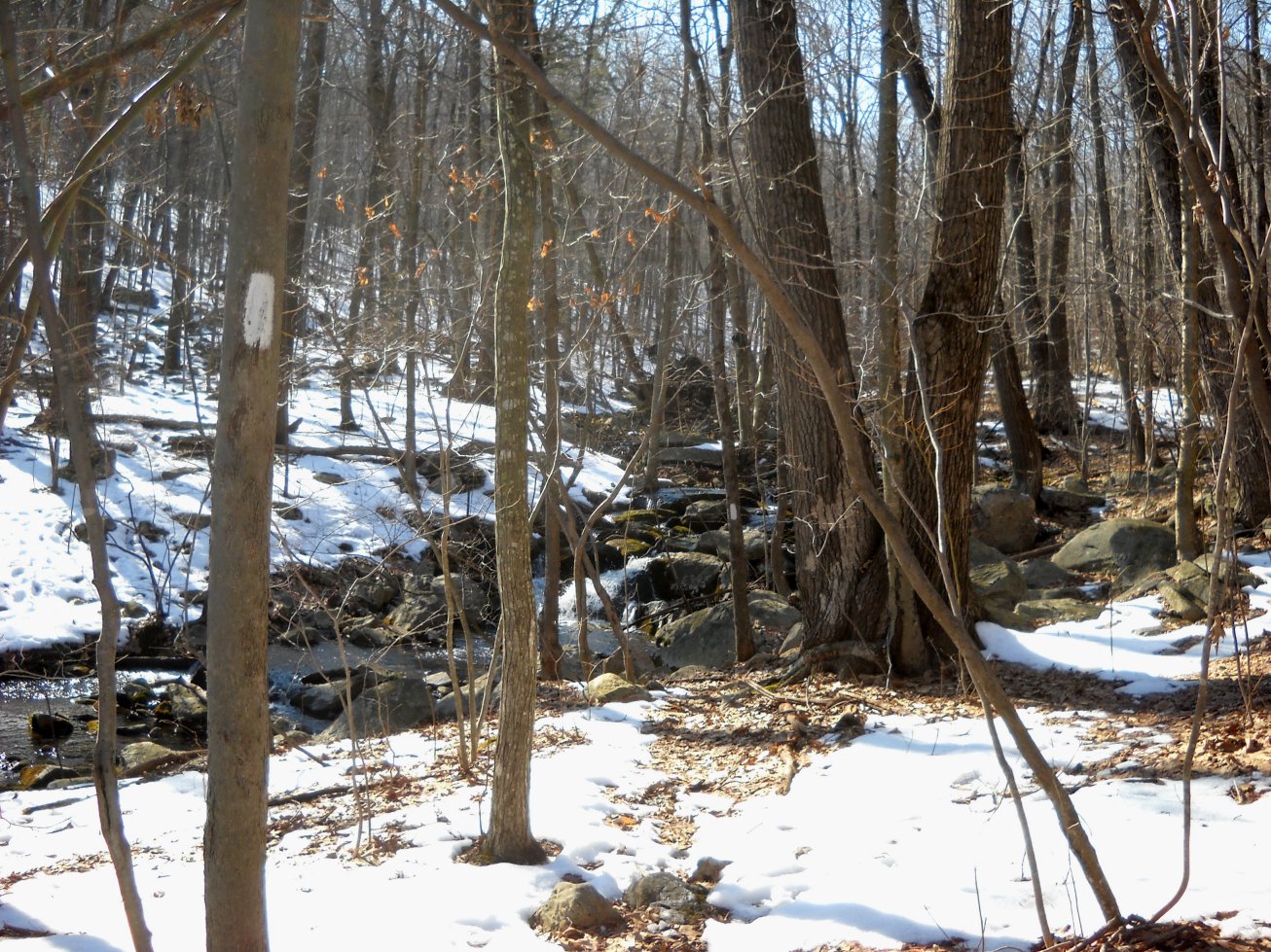
Crossing Thayer Brook was a little tricky since the stream flow was on the heavy side.
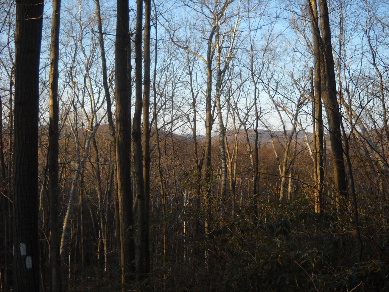
Views through the trees were abundant in all directions along the way.
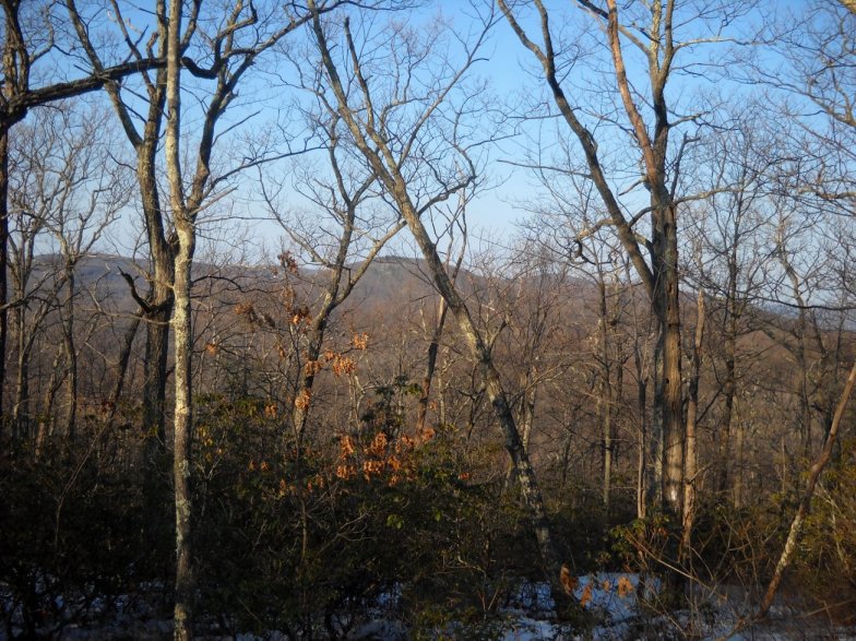
Another view through the trees. This hike would look completely different during the summer.
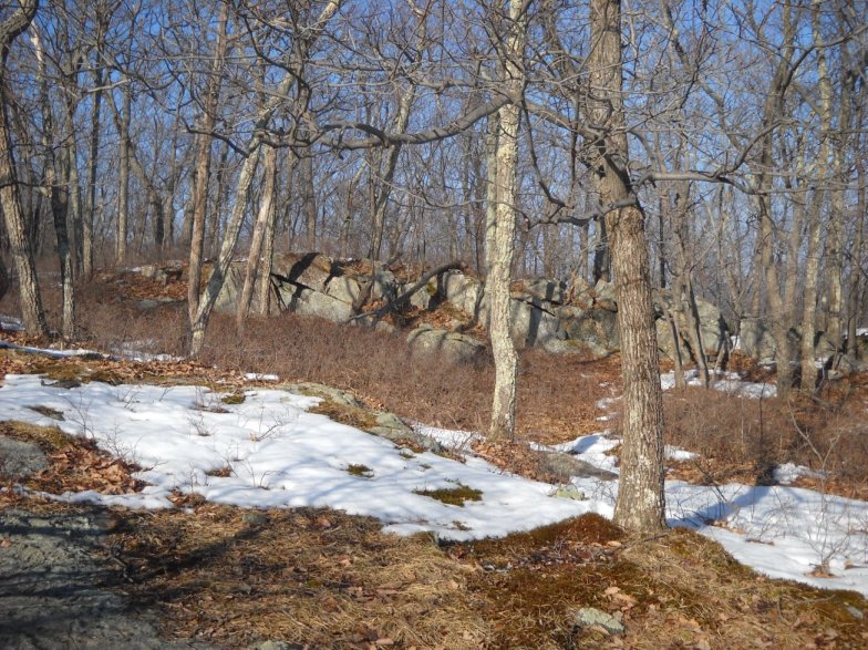
Natural rock outcrop and stunted trees near peak 1403'.
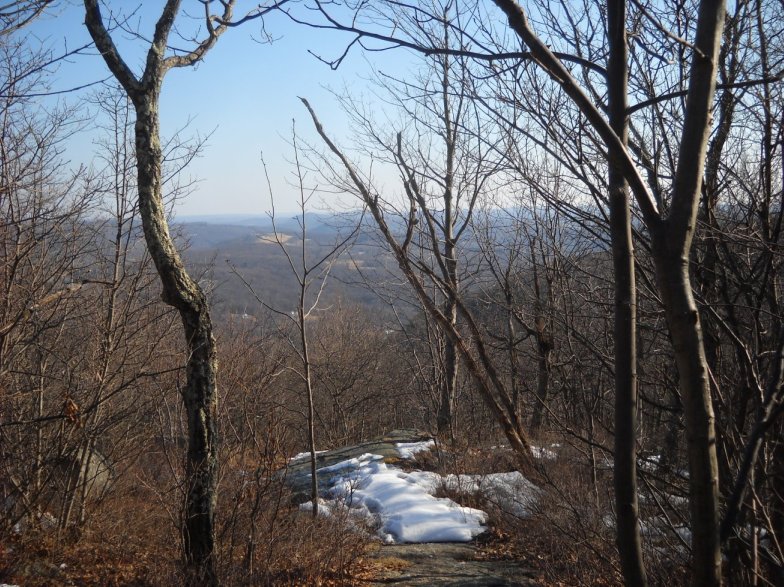
Approaching the lookout on peak 1403'.
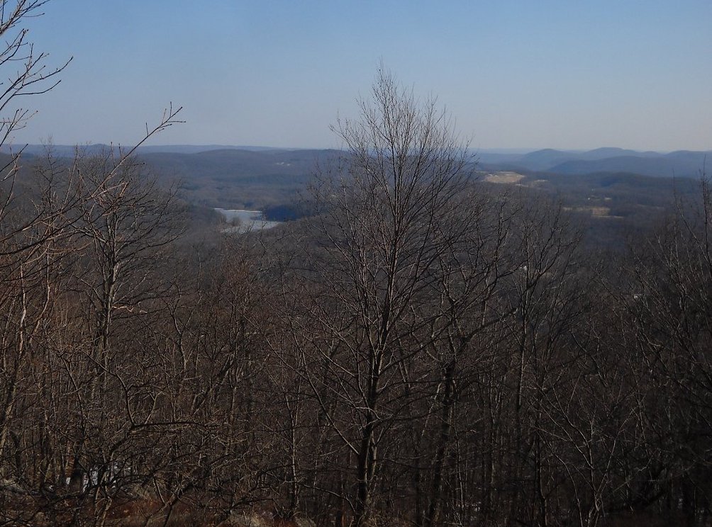
A view into the Housatonic Valley from peak 1403' with Hatch Pond to the left.