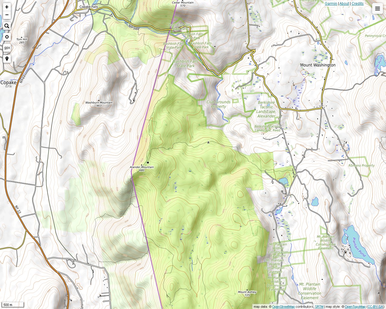
The hike up Alander Mountain usually begins from the Mt. Washington State Forest Headquarters using the Alander Mountain Trail. This trail can be flooded after heavy rainfall in many areas, but it is not steep. There are many beautiful brooks to see all along the trail.
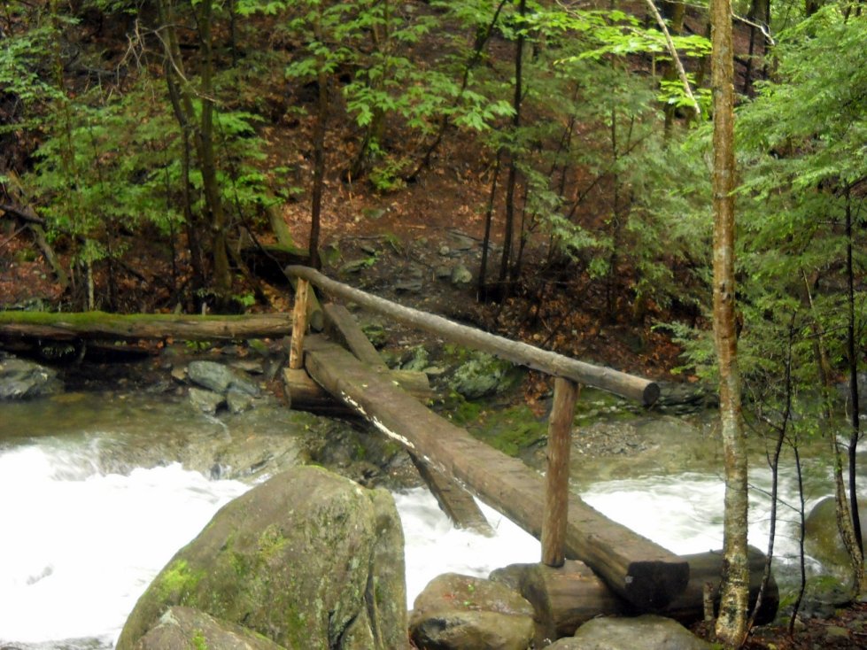
Lee Pond Brook was one of the larger brooks that had to be crossed after a very rainy week. Part of the bridge was washed out.
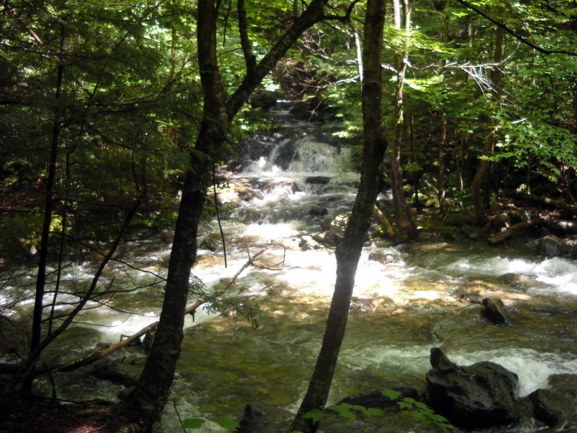
The confluence of Lee Pond Brook and Ashley Hill Brook on the Alander Mountain Trail.
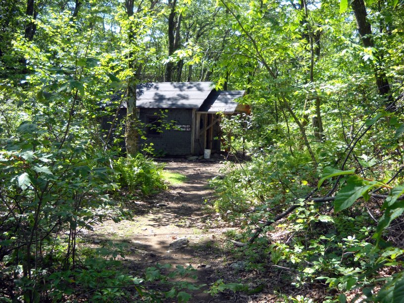
This cabin is near the peak for public use. There seems to be some competition among campers to get there, so they can reserve it for the night.
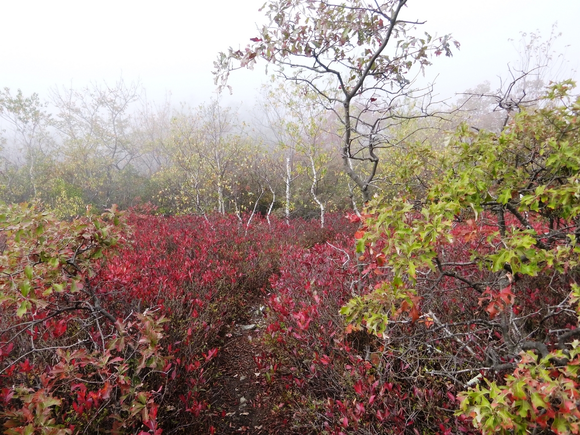
Heading up the Loop Trail, which ascends the mountain from the southeast and offers some views. Even on this cloudy, hazy day the fall colors contrast with the rock and moisture to provide a striking visual experience.
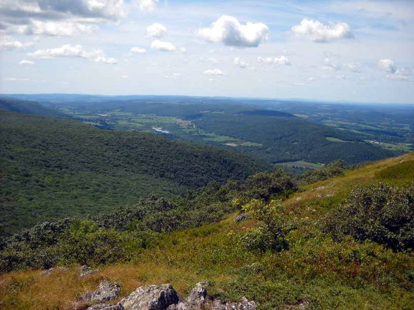
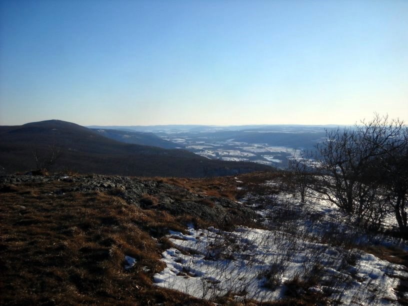
A view southwest into New York State from the top of Alander Mountain.
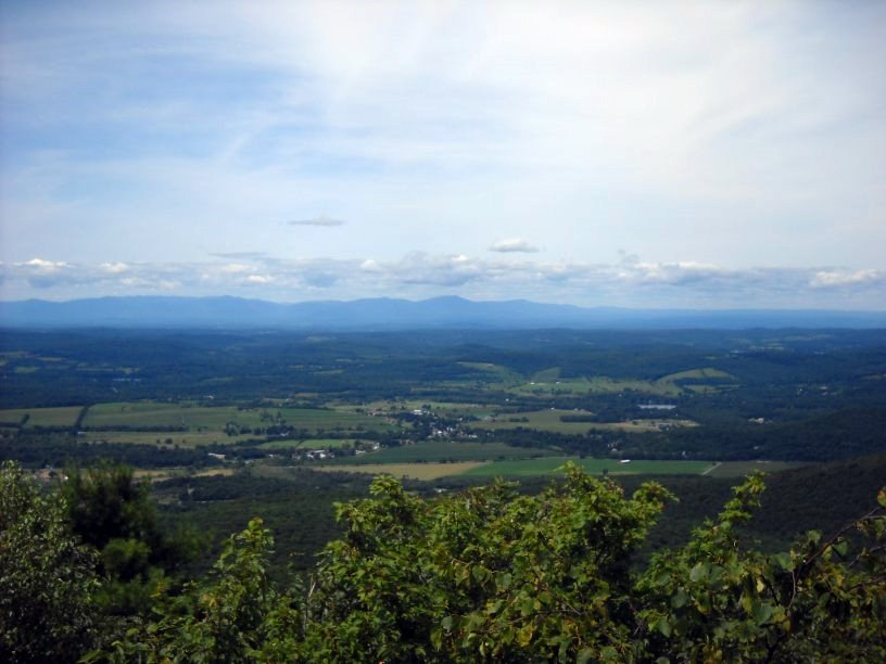
A view west into New York State from Alander Mountain. The Catskills are in the background.
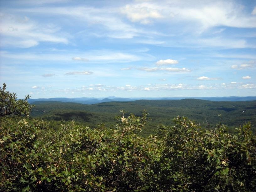
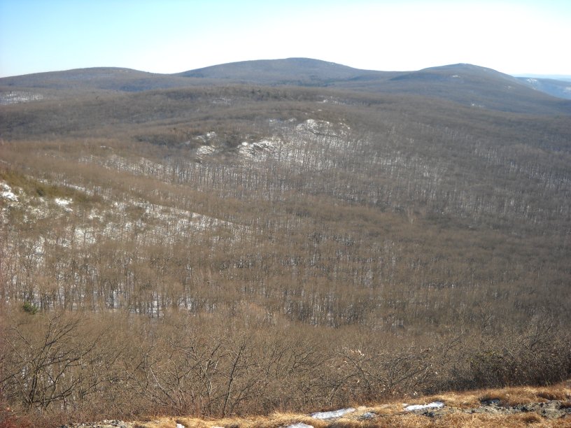
A view north from Alander Mountain. You can get many views of the region by moving north or south on the South Taconic Trail when you reach the summit.
The Alander Mountain Trail can be hiked easily even with a few inches of snow on the ground. There is only one small rocky area that is near the summit. Just pick a day that isn't too cold or too windy.
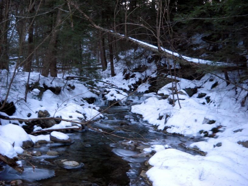
Lee Pond Brook freezing over in December.

Take a left to the Ashley Hill Trail for another full-day hike.
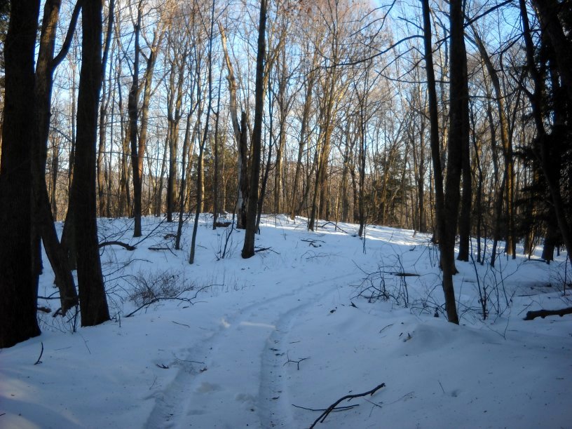
A maintenance vehicle conveniently packs the snow down.
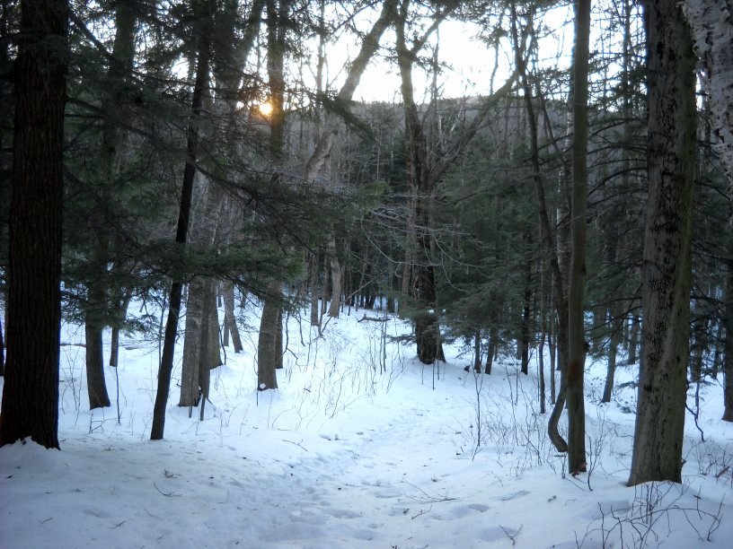
The sun peeks over the ridge.
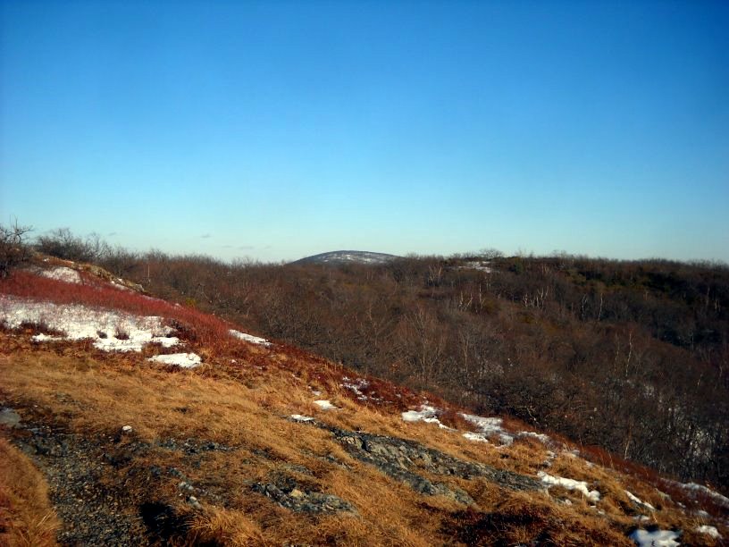
The snow was blown from Alander Mountain in various spots. Mt. Everett is in the distance.
Looking south toward Mt. Frissell in the middle and Brace Mountain on the right. There are more trails in the deep valley below.
A view into the town of Northeast, New York.
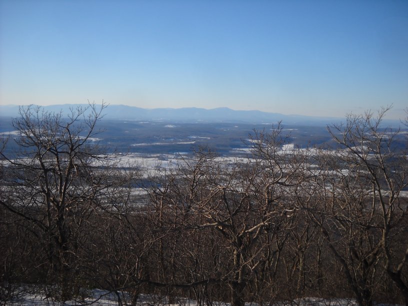
A view of Ancram and Copake, New York. The Catskills are in the distance.