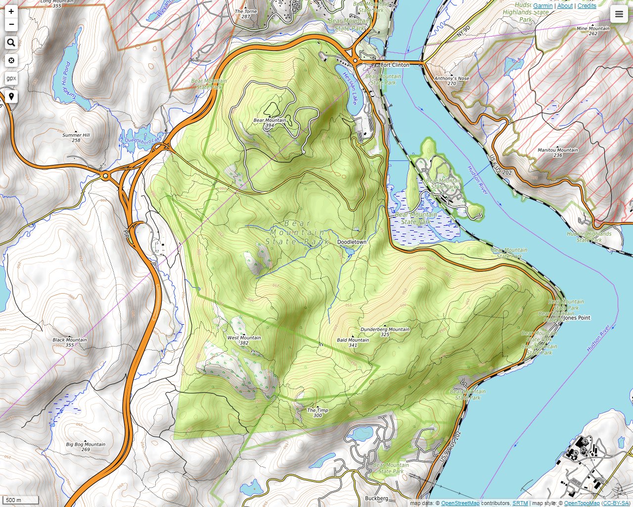
Bear Mountain State Park is located along the Hudson River on the Rockland-Orange County line west of the Hudson River and east of Harriman State Park. Actually, the parks border one another, and many of the trails cross through both parks. No attempt was made to distinguish which photographs came from each of the two parks. They are all from trails east of the Palisades Interstate Parkway. There are many parking areas around the perimeter. Some of them are very large and cater to summer tourists. Regardless of the season, you will not be alone. You will undoubtedly run into several hikers along the way. Plus, you are guaranteed to notice a few startled deer on your journey. The trails are well marked and well maintained. There are many vistas scattered around the park, and many partial views are possible through the trees. Be careful if you decide go off the trails. There are a few good places to get lost or have an accident. A trail maps is available online at nysparks.com or you can by a more detail one printed on Tyvek from the NY-NJ Trail Conference.
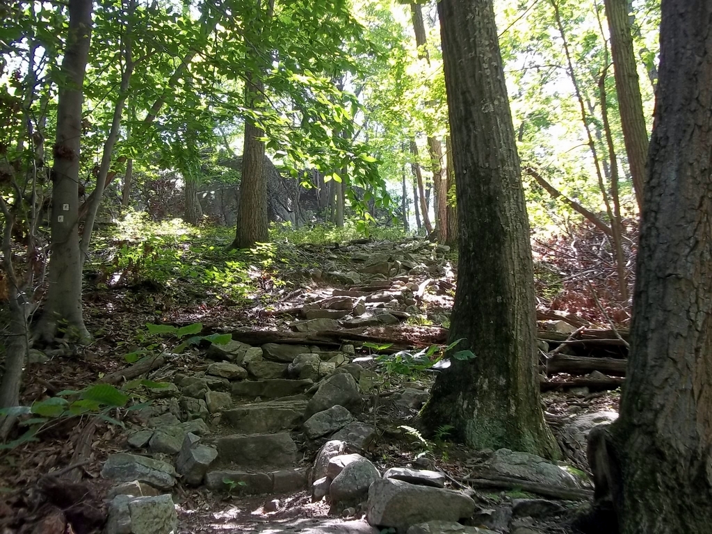
On the Fawn Trail heading northeast toward the Timp-Torn Trail.
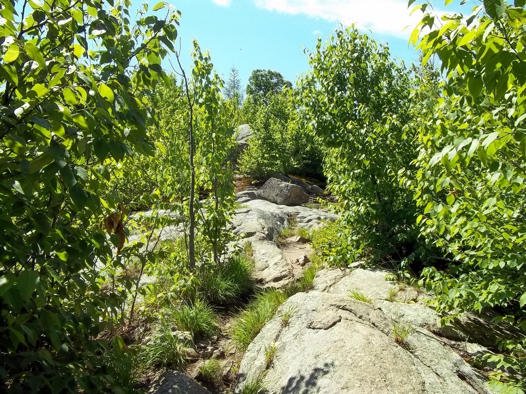
The Timp-Torn Trail is extremely rocky, but it is also very beautiful. Several views are possible in all directions. Also, parts of the trail are lined with wild blueberries.
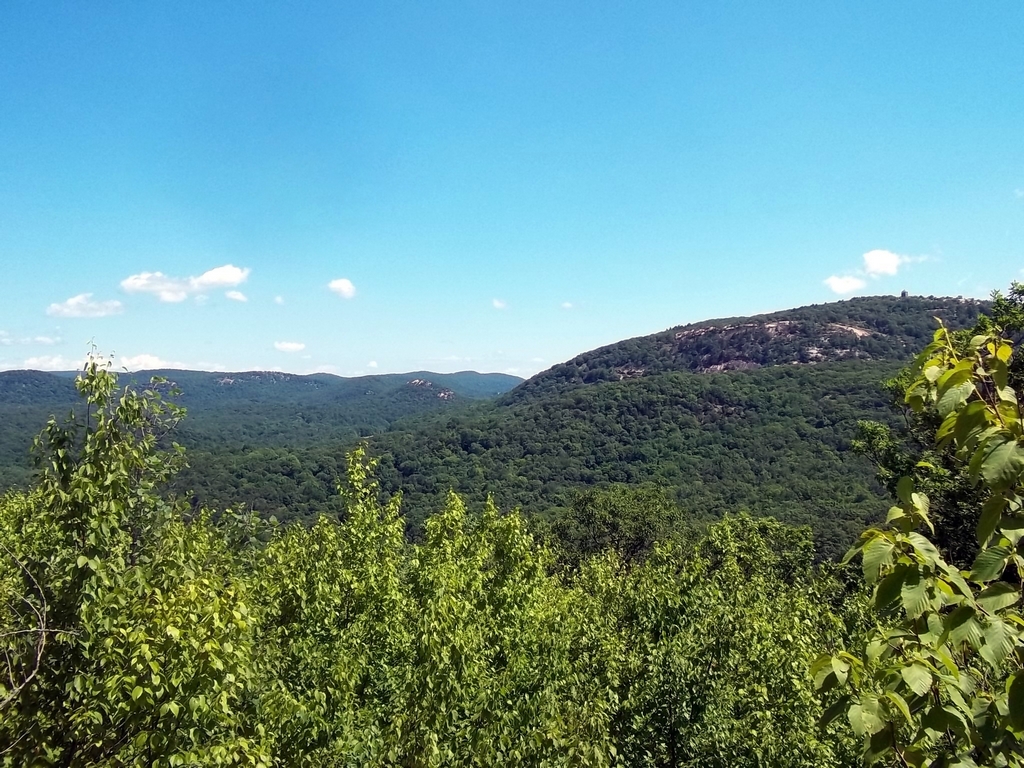
Here is a view to the northeast toward Bear Mountain. Notice the rock outcrop in the background, which is fairly typical of this area, especially in Harriman State Park which is next-door to the west.
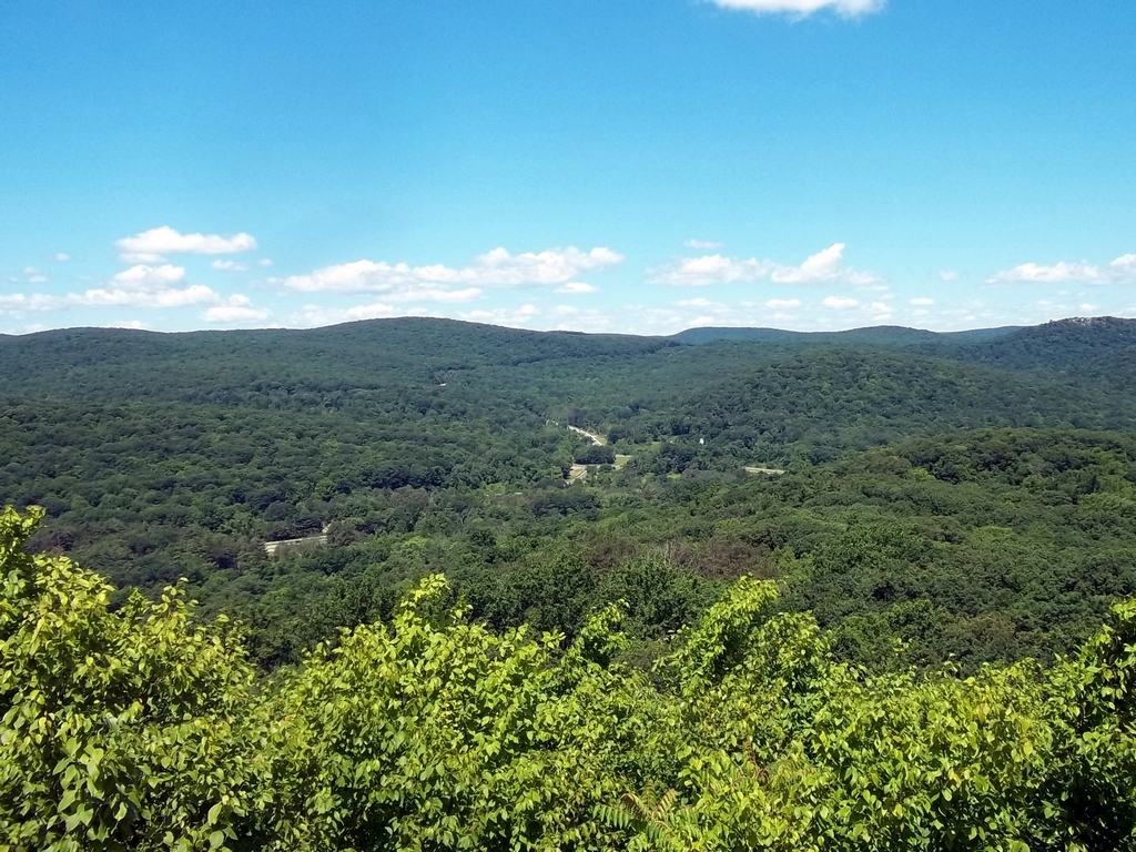
A view of Route 6 cutting through the north side of Harriman State Park.
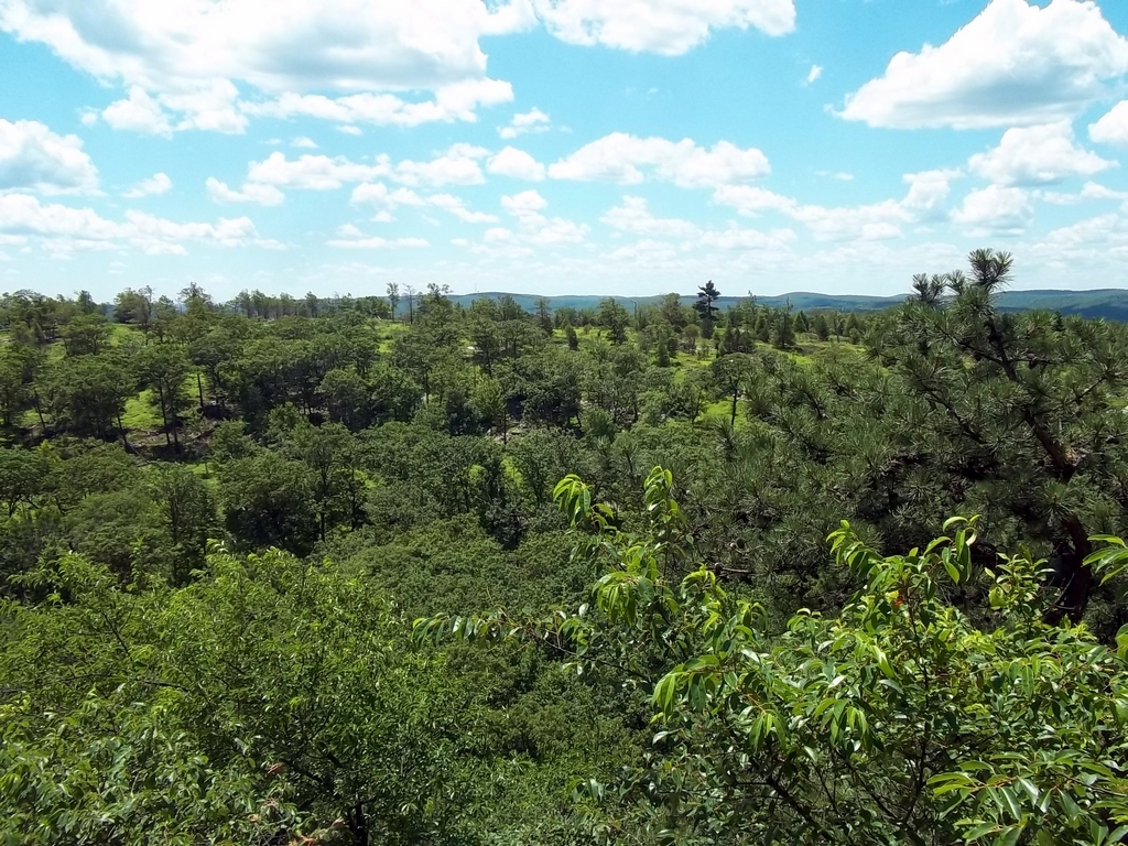
I thought that was a very interesting arrangement of natural vegetation unusually well-spaced due to the rocky terrain and lack of soil.
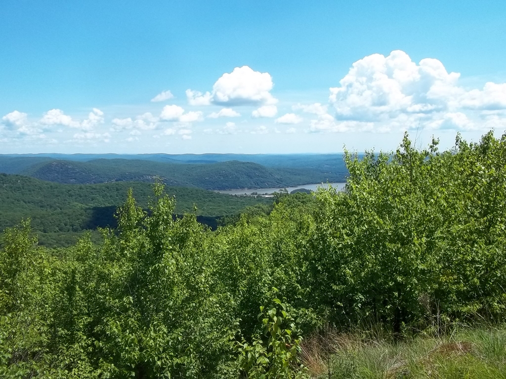
A view to southeast with a glimpse of the Hudson River.
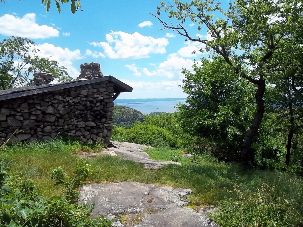
The shelter on West Mountain on the Timp-Torn Trail, a popular viewing spot near the Appalachian Trail intersection.
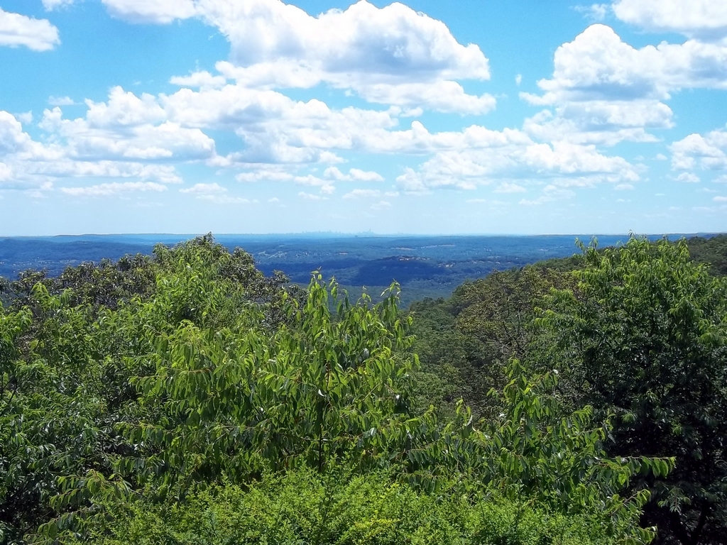
An impressive view of New York City a little southeast from the shelter on the Timp-Torn Trail. Of course, the view is much more amazing in person.
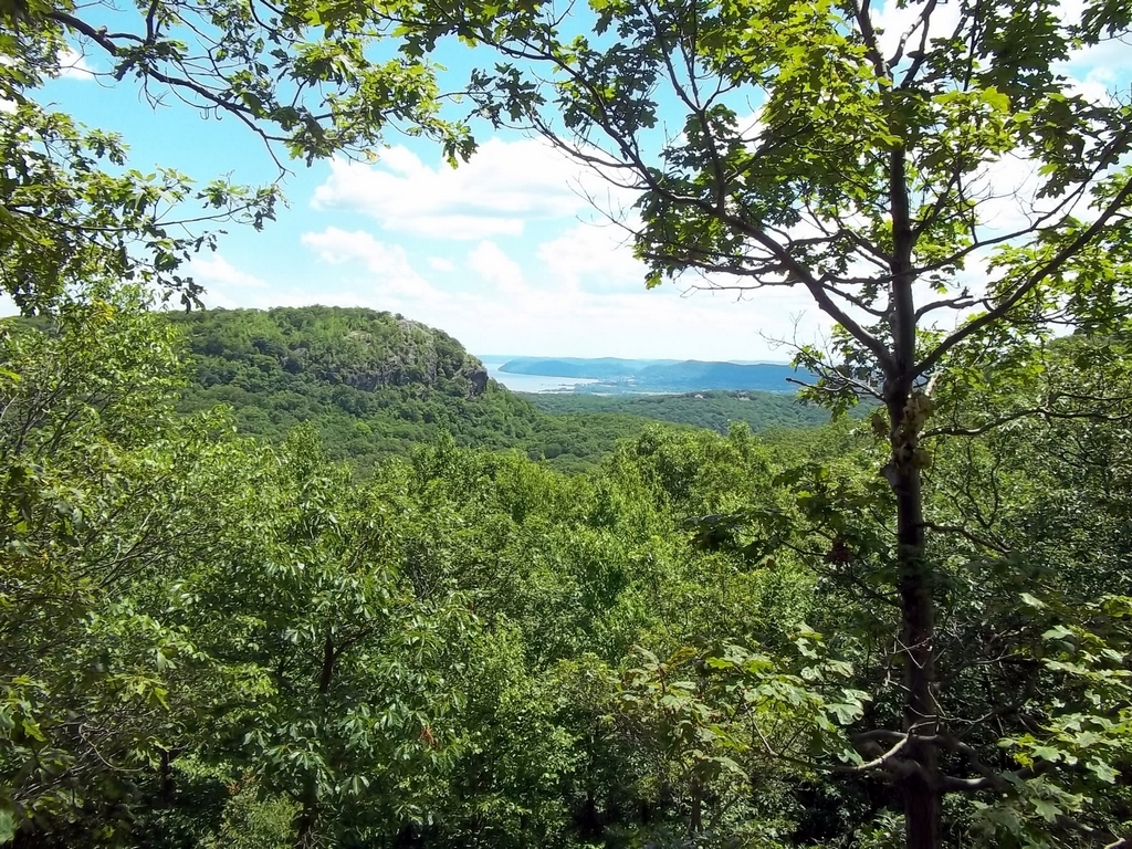
A view of The Timp, the rocky hill, with the Hudson River in the distance.
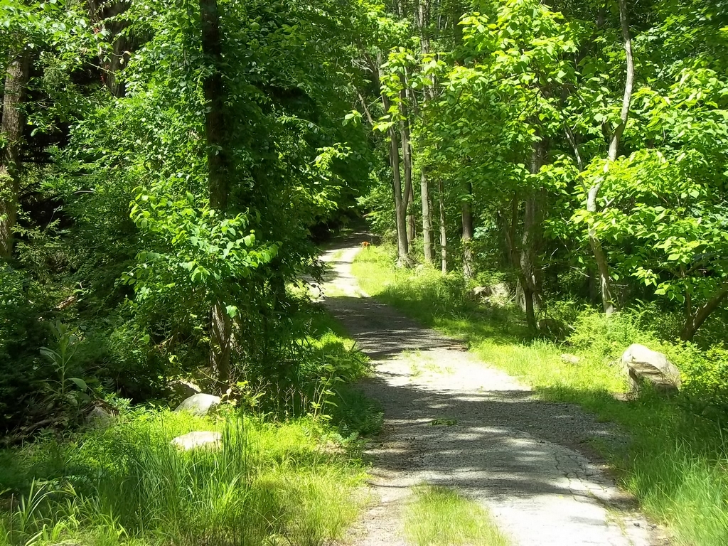
Hiking a road through the deserted village of Doodletown. Notice the deer grazing by the road in the distance. There are remnants of old homesites along the road.
On the Doodletown Bridle Path. The earth hues are very reddish in this area, possibly from iron oxides.
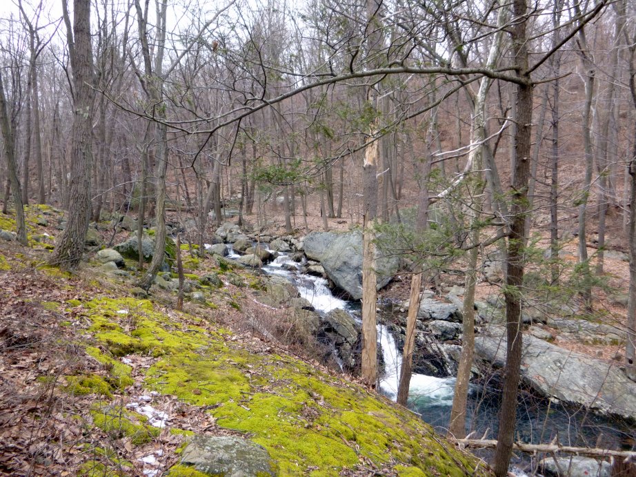
A waterfall on the Cornell Mine Trail close to the parking area on Route 9W.
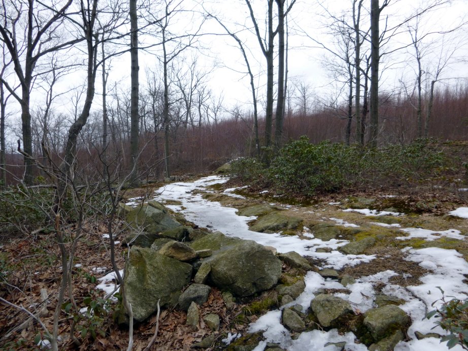
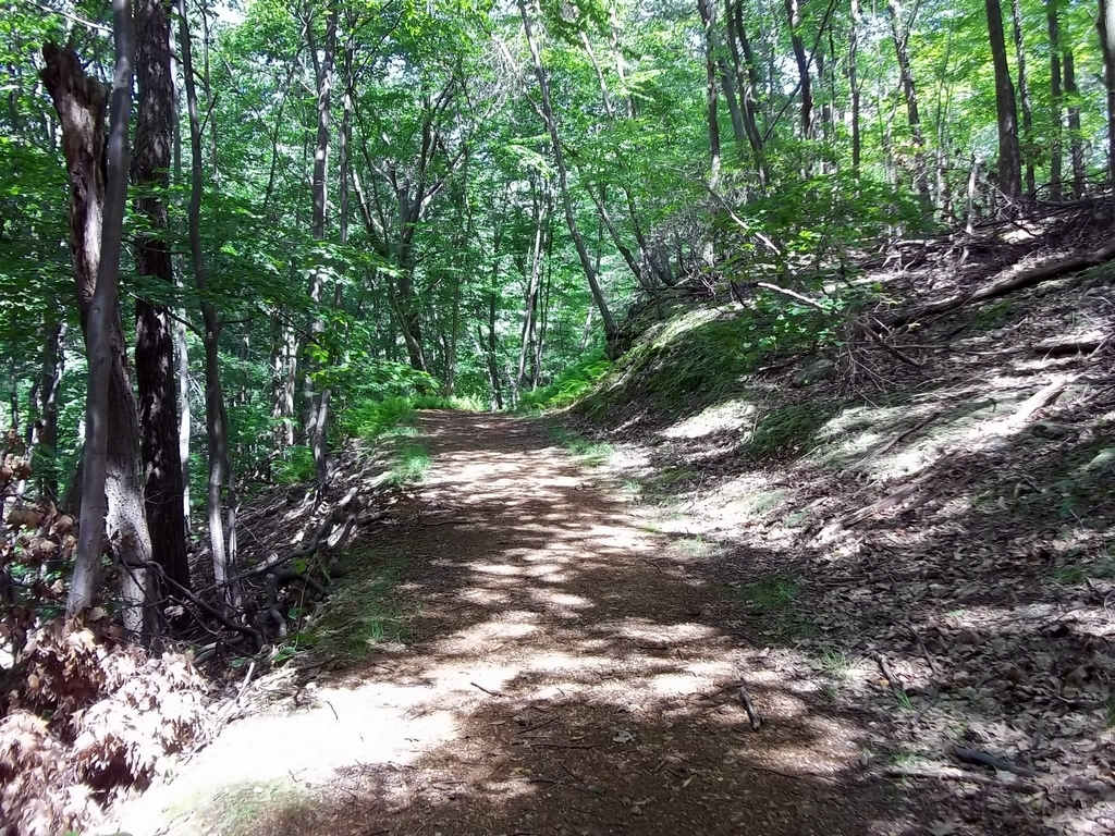
Heading for one of the high spots on Dunderberg Mountain on the Ramapo-Dunderberg Trail. The vegetation changes on the high spots probably due to exposure. You will see charred trees from lightning hits in several areas.
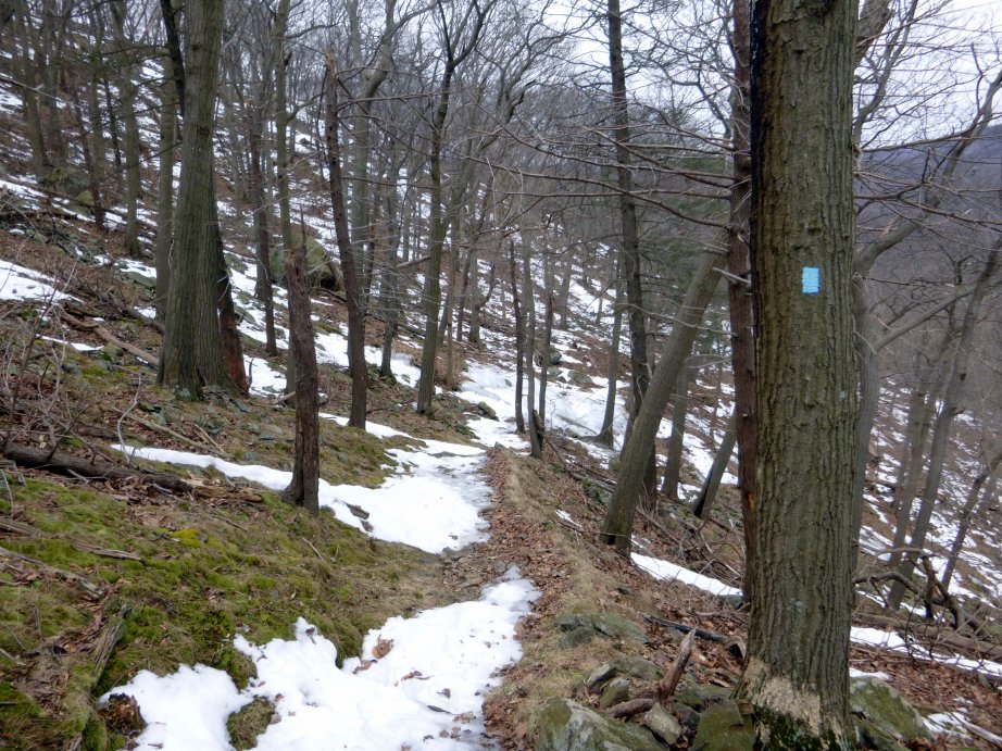
The Cornell Mine Trail ascends the steep north slope of Dunderberg Mountain with several switchbacks. There were a few treacherous icy spots here on this day in early March.
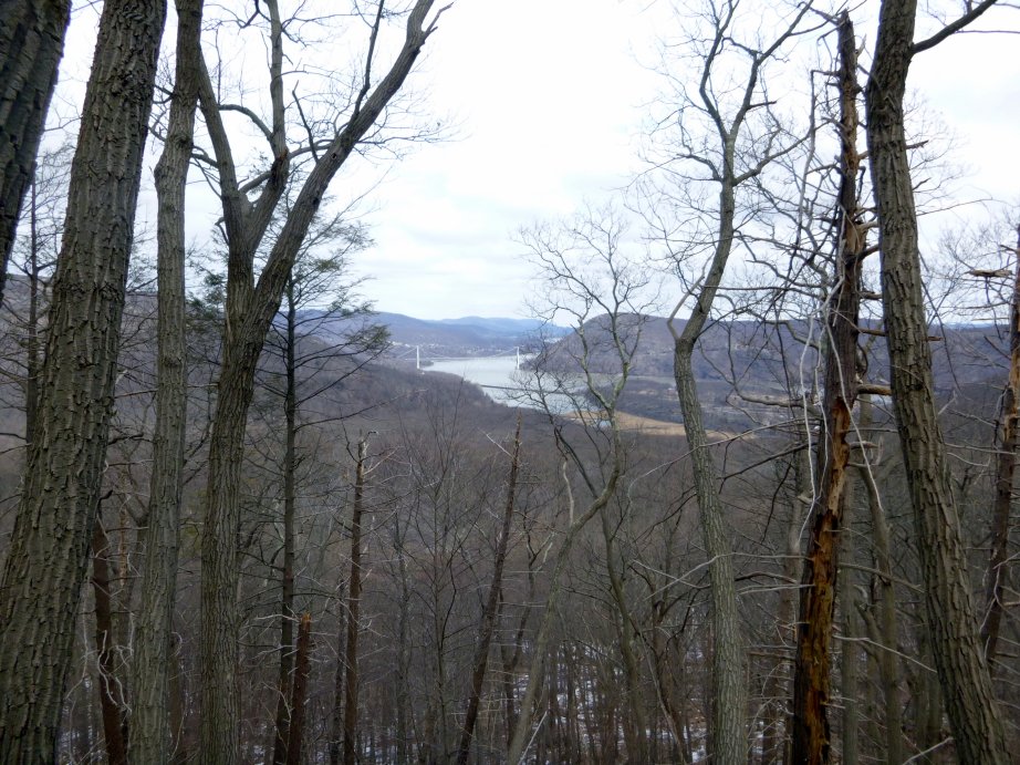
Looking north from the Cornell Mine Trail toward the Bear Mountain Bridge over the Hudson River.
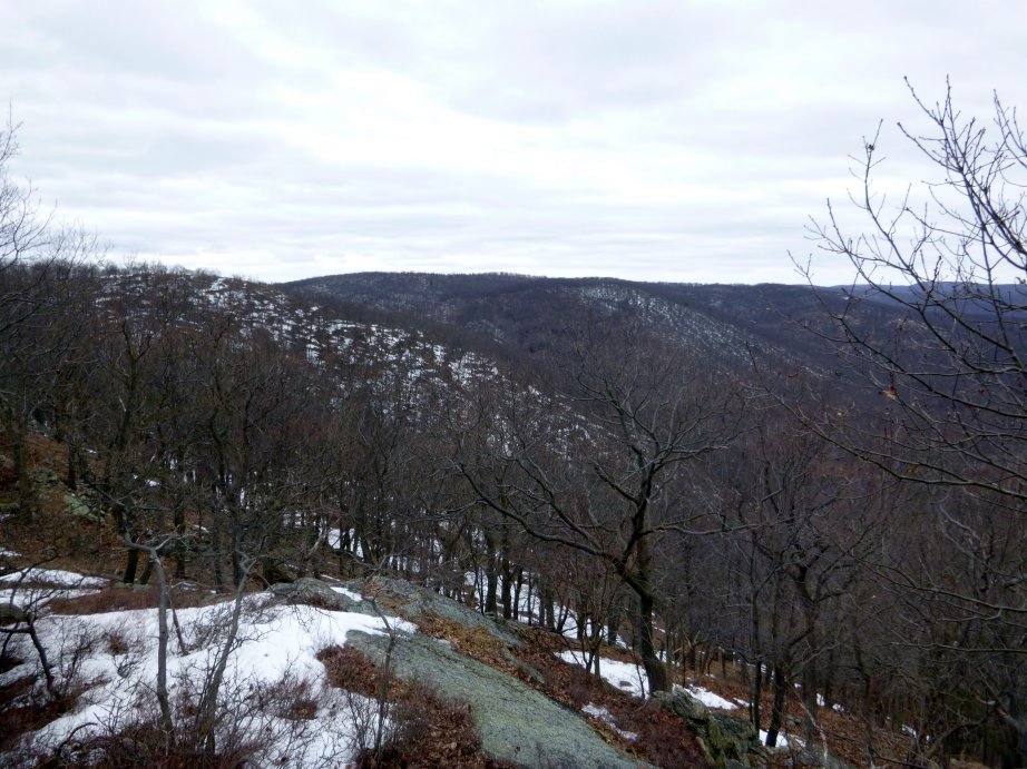
Looking west toward several other peaks from Dunderberg Mountain.
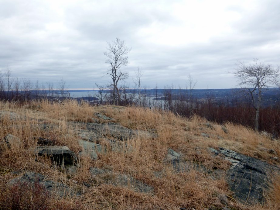
Looking south toward the Hudson River from one of the peaks of Dunderberg Mountain. You can see New York City from here on a clear day, but it is difficult to photograph.