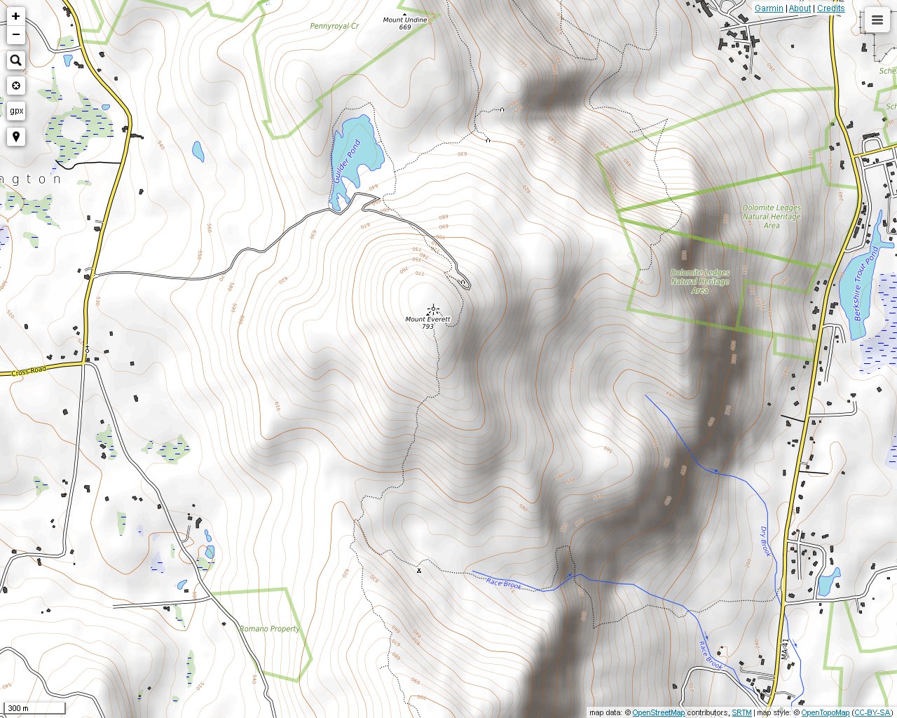
Mt. Everett is the tallest mountain in southwestern Massachusetts. It is crossed by the Appalachian Trail, with access from the Mt. Everett State Reservation road off of East Street and the Race Brook Trail off of Route 41. The view from the top is somewhat obscured by vegetation, but if you walk around for awhile, you will find excellent views from the many rock outcrops, most of which are located around the south and northeast slopes.
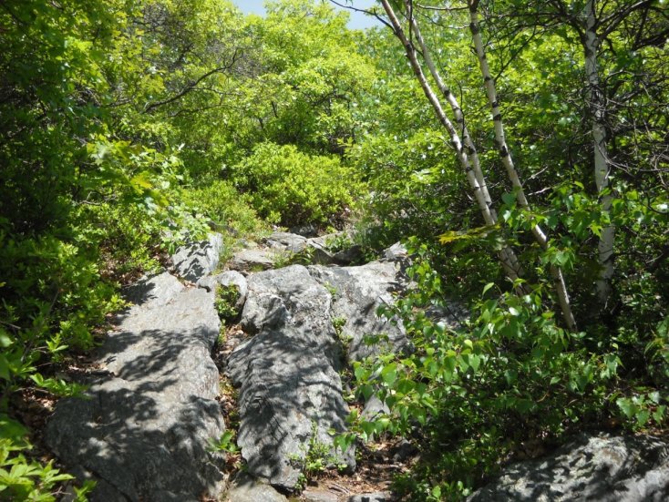
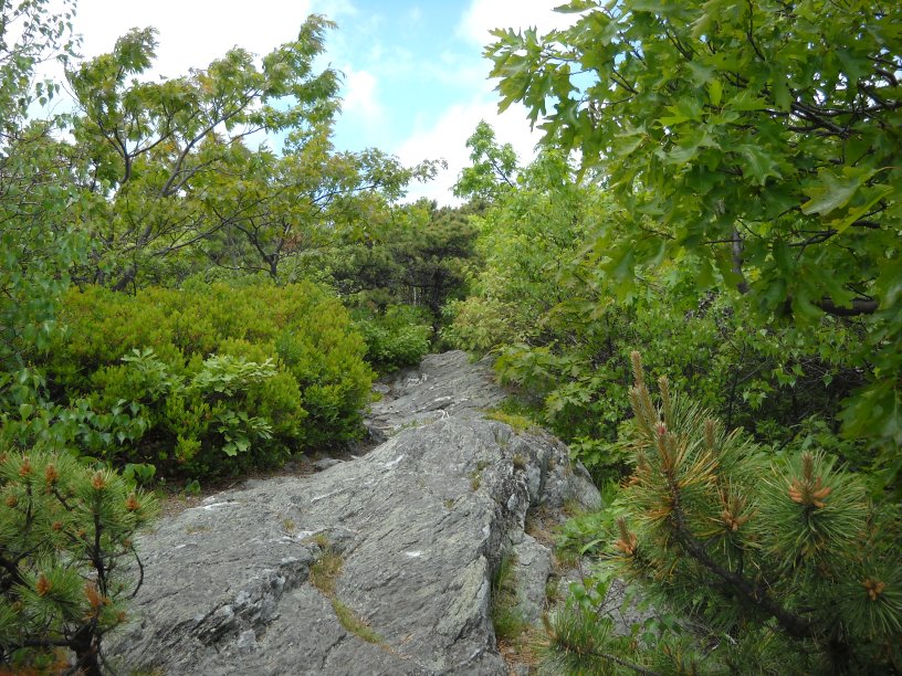
The rocky trail up Mt. Everett. It is worth the climb just to see all of the unique rock formations. Much of it is steep, and it can be slippery when wet.
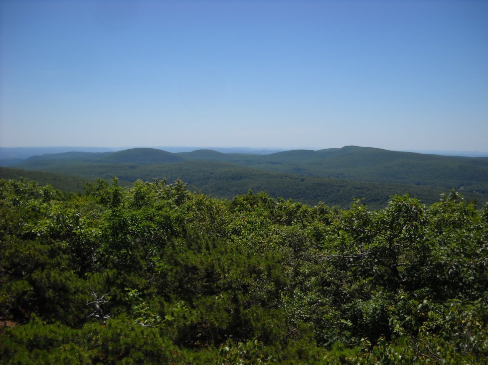
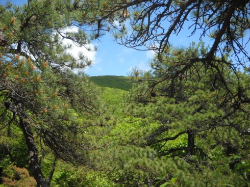
The view south toward Bear Mountain and Mt. Ashley on the way up the trail.
The view south toward Mt. Race. Mt. Race has better views from the top even though it is lower in elevation.
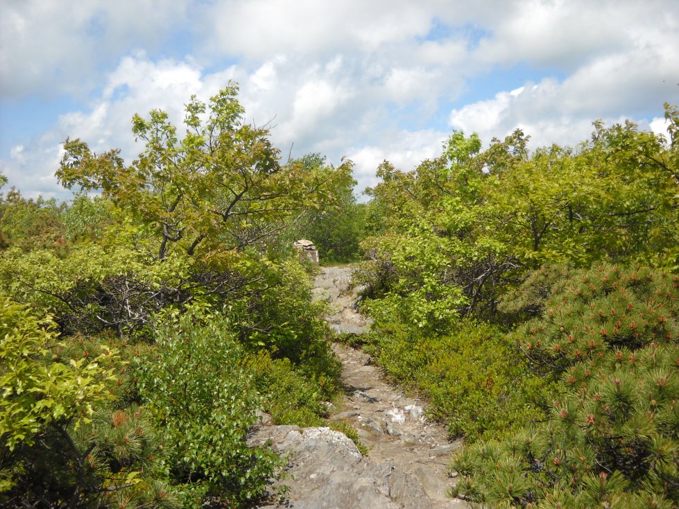
Following more of the rocky trail to the peak.
Dwarfed pitch pines on Mt. Everett. They are only found on a few mountains in the area. They are fragrant, especially in sunny weather.
Reaching the peak of Mt. Everett. The footing ahead was used to support an old fire tower. I was told that it was removed by helicopter.
A view into Sheffield and Great Barrington, Massachusetts from a rocky ledge off the Appalachian Trail on the northeast slope.
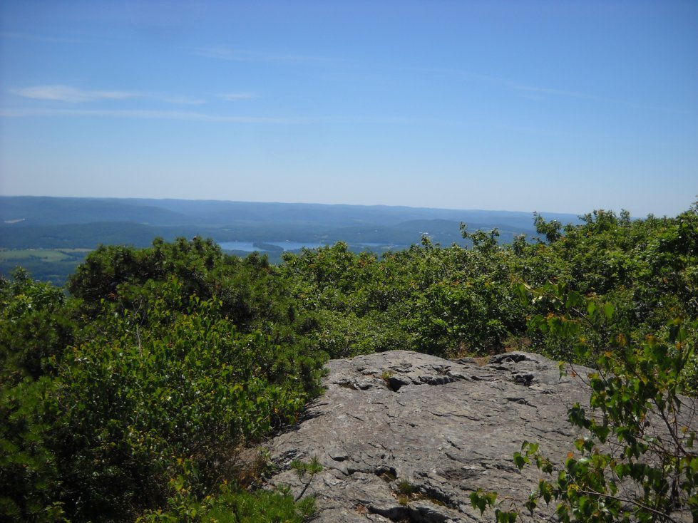
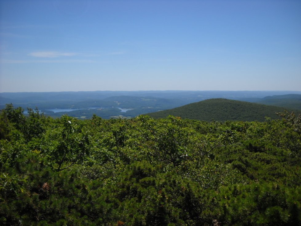
A view southeast into Salisbury, Connecticut. Twin Lakes is visible from here.
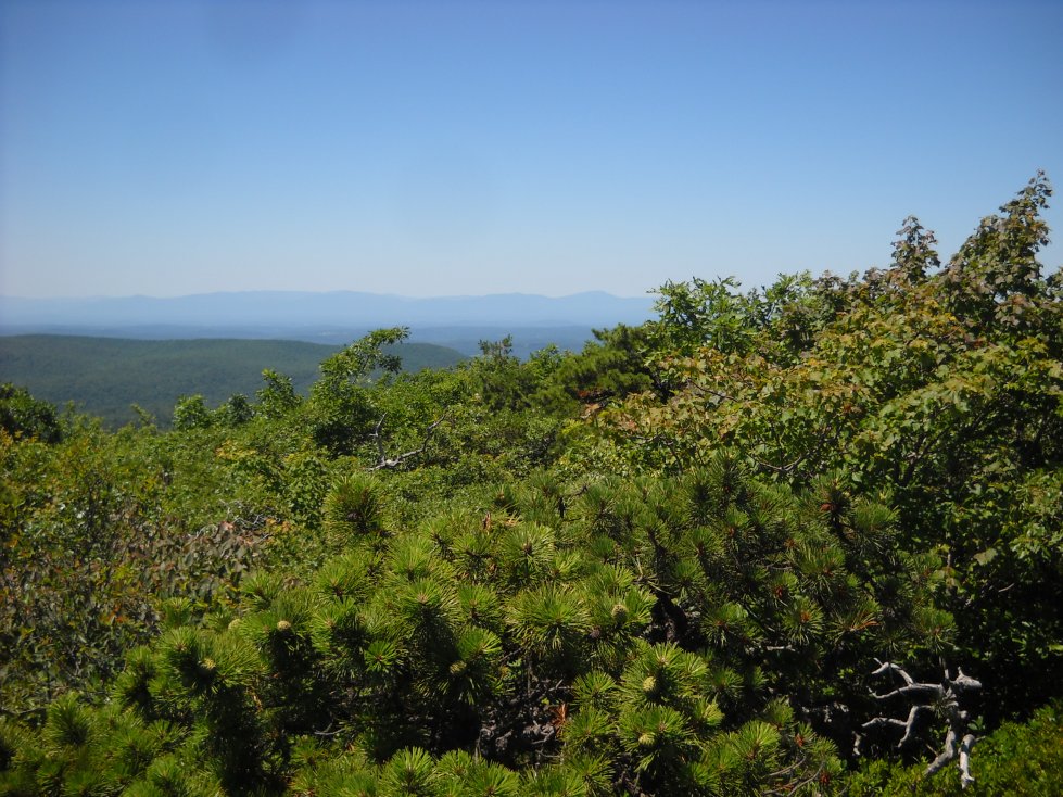
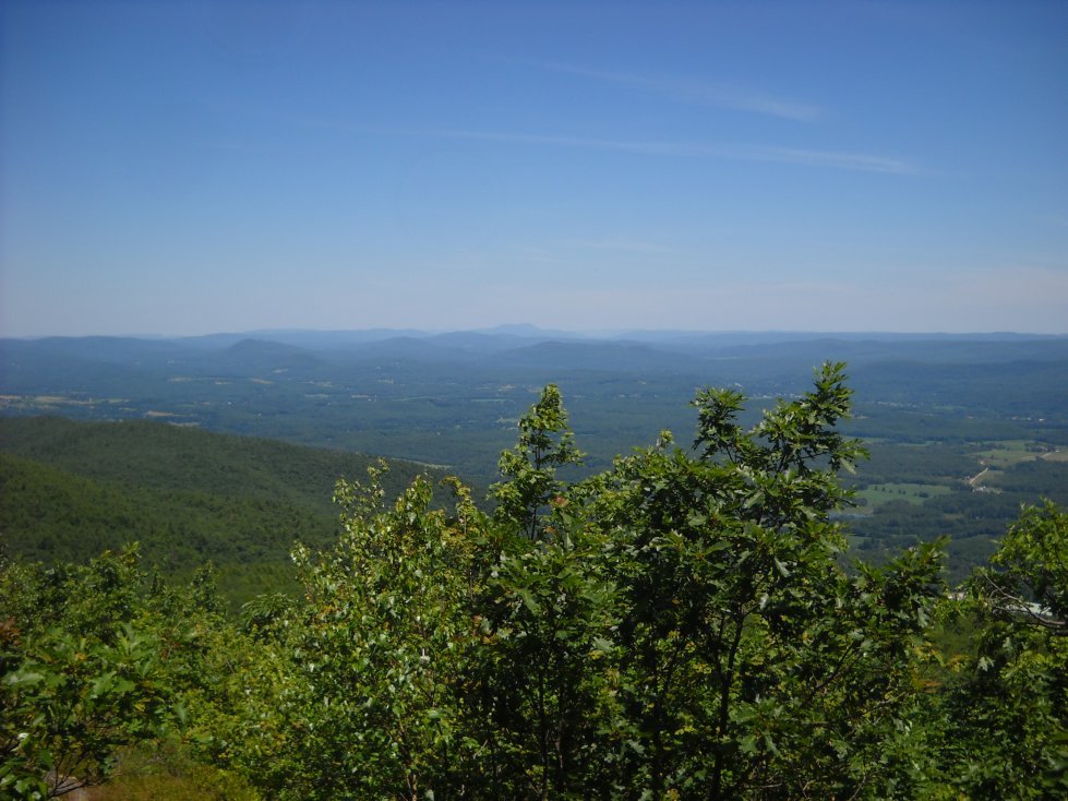
The Catskills can be seen from rock outcrops on the south slope, but only on clear days.
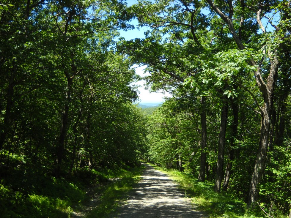
The view from the access road on the northeast slope of Mt. Everett. You can hike up the road or the Appalachian Trail, but eventually the road merges into the trail.