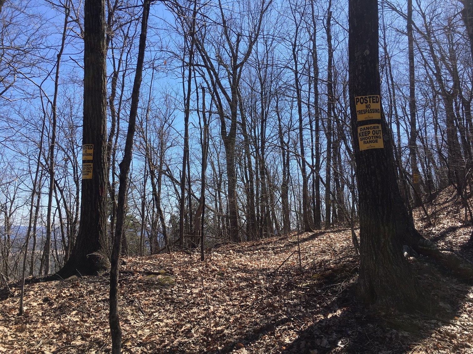
Yokun Ridge is a land conservation zone that runs from Pittsfield to West Stockbridge, Massachusetts. Its two main divisions are Lenox Mountain to the north and West Stockbridge Mountain to the south. The Audubon Society operates the Pleasant Valley Wildlife Sanctuary, one of the many attractions there. There are many trails going through the area, although some are better maintained than others. Recently, No Trespassing sign were put up on trees just north of the West Stockbridge Mountain peak. The Berkshire Natural Resources Council published an excellent map at one point. There are still some maps online if you look around.
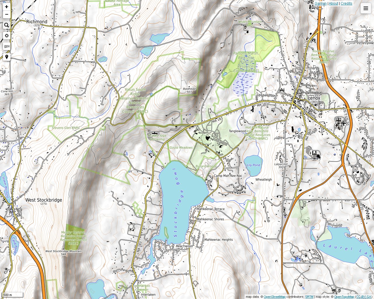
Looking for the trail entrance on Reservoir Road near the Pleasant Valley Wildlife Sanctuary.
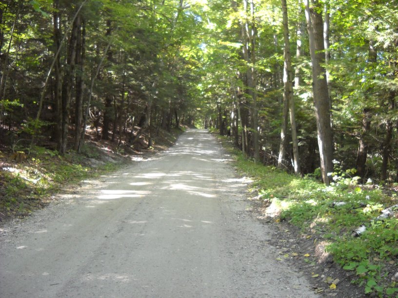
A local attorney, Kelton Burbank, worked to set aside this land for public use. The Burbank Trail, shown here, is the best maintained and marked trail in the area.
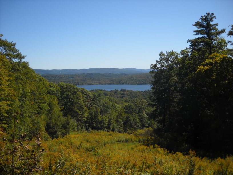
This is a view from the man-made Burbank Trail lookout.
Mountain laurels growing underneath the power lines in between the east and west sections of the Burbank Trail.
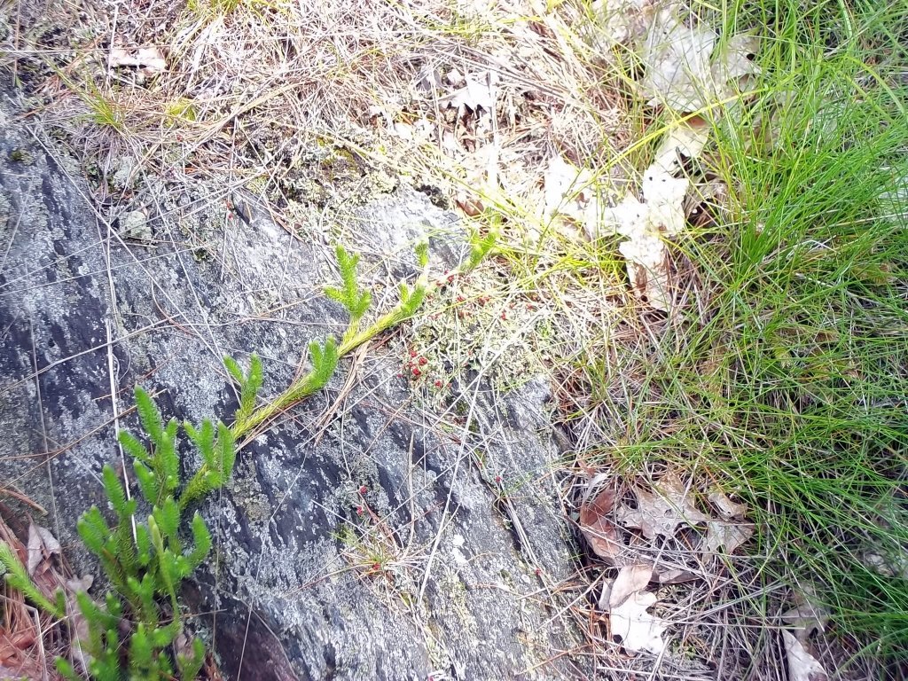
Lichens and moss on a rock.
Olivia's Overlook at the end of the Burbank Trail on Lenox Road. There is a parking lot right off the road for tourists.
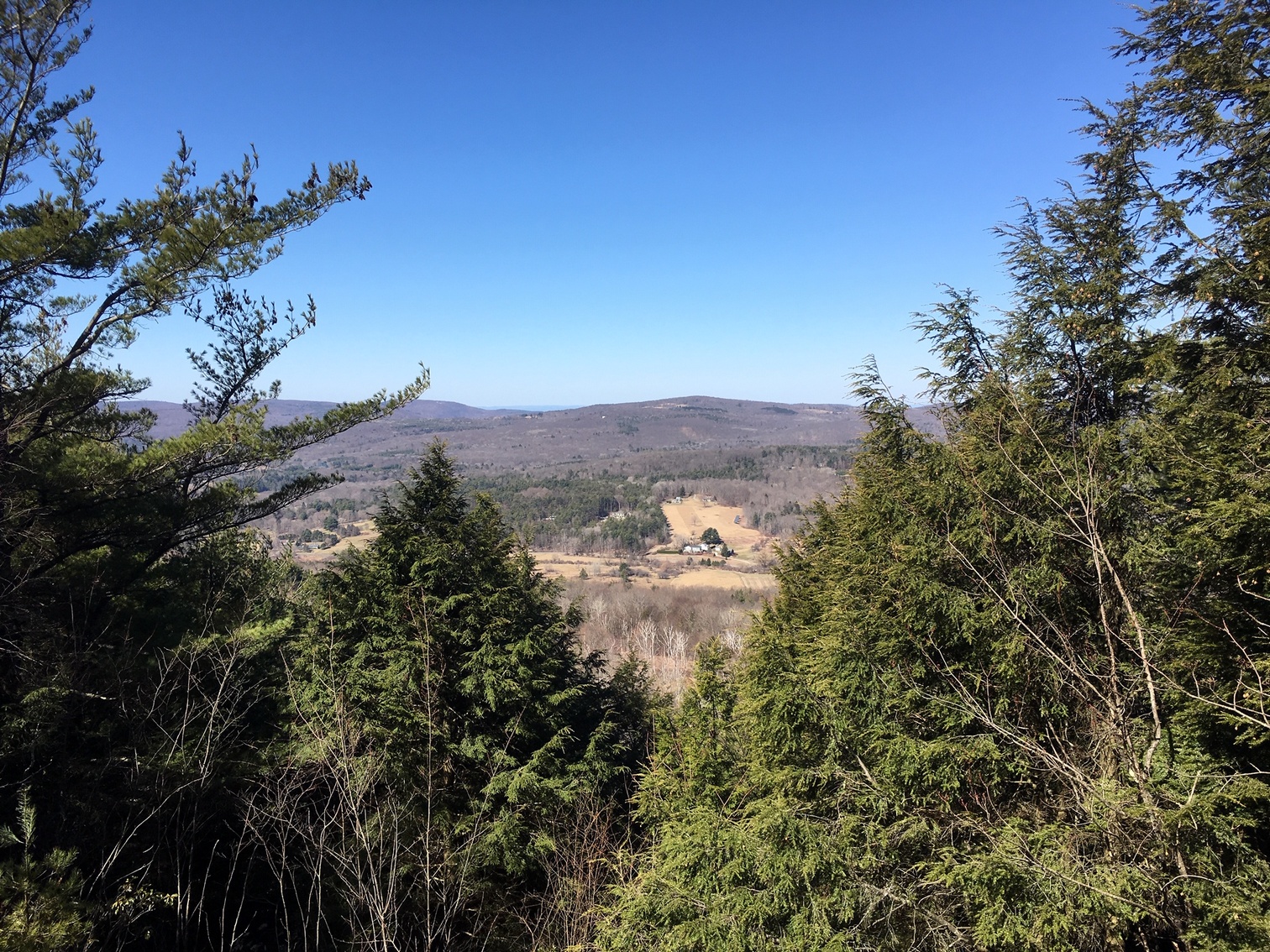
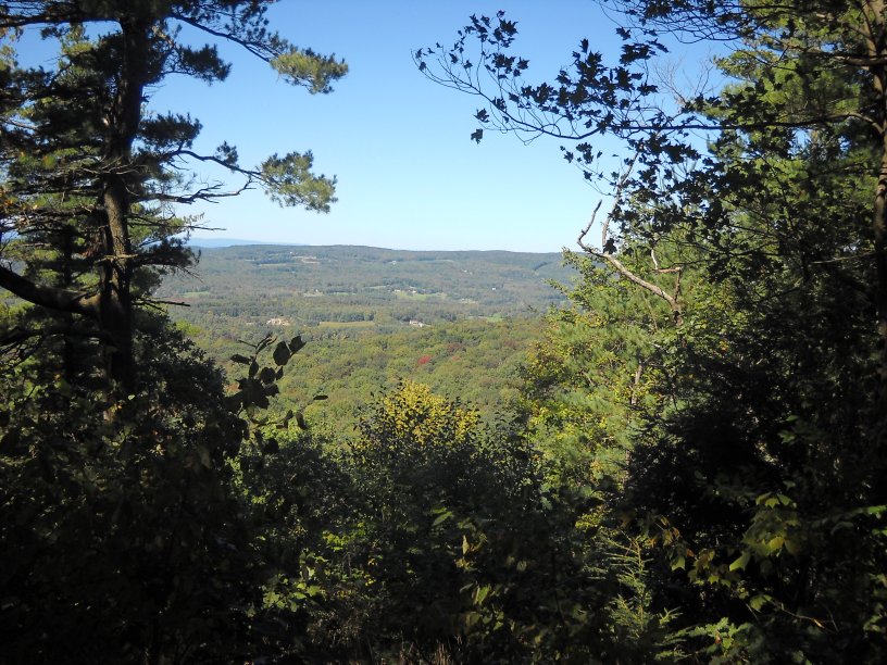
The Yokun Ridge Trail is accessible from a dirt road leading to a radio tower off of Lenox Road or from the Charcoal Trail leading from the Olivia's Overlook parking lot. This photo is a view to the west from a Charcoal Trail lookout point.
Creative modern rock sculpture off of the Ridge Trail. There are several lookouts in this area. Years ago, there were probably many more that have since become overgrown.
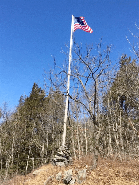
A flag placed by hikers on one of the peaks on West Stockbridge Mountain. It is supported by a big pile of rocks.
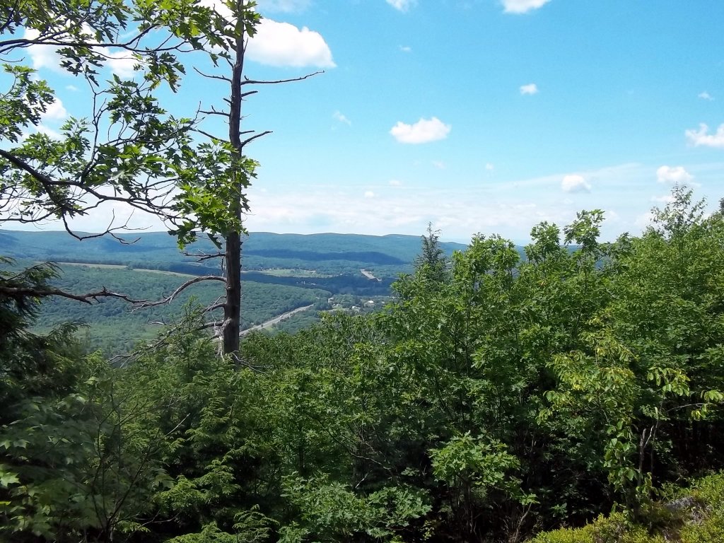
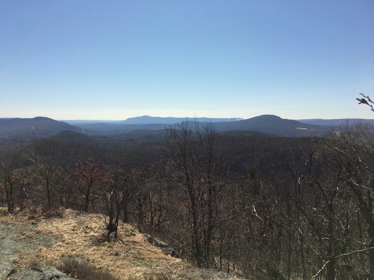
Another view from West Stockbridge Mountain. The Massachusetts Turnpike can be seen heading into New York State.


The top of Stock Mountain, the highest point on the West Stockbridge Mountain ridge. The tree on the left was blown down, and the sign is no longer visible anywhere.
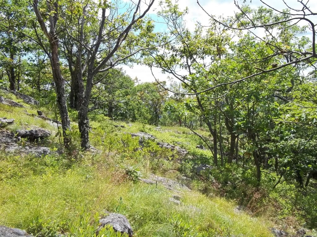
You can see exceptionally healthy sub-alpine vegetation on the south end of the ridge.
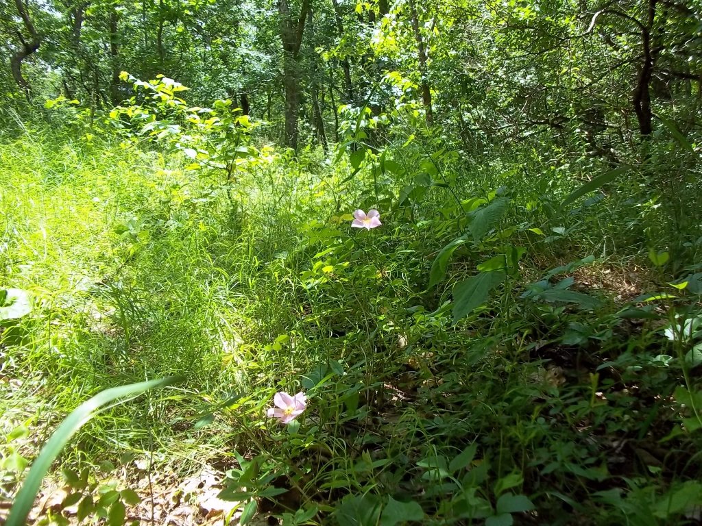
Wild roses were growing in early July in this location. Lowbush blueberries and raspberries were more common though.
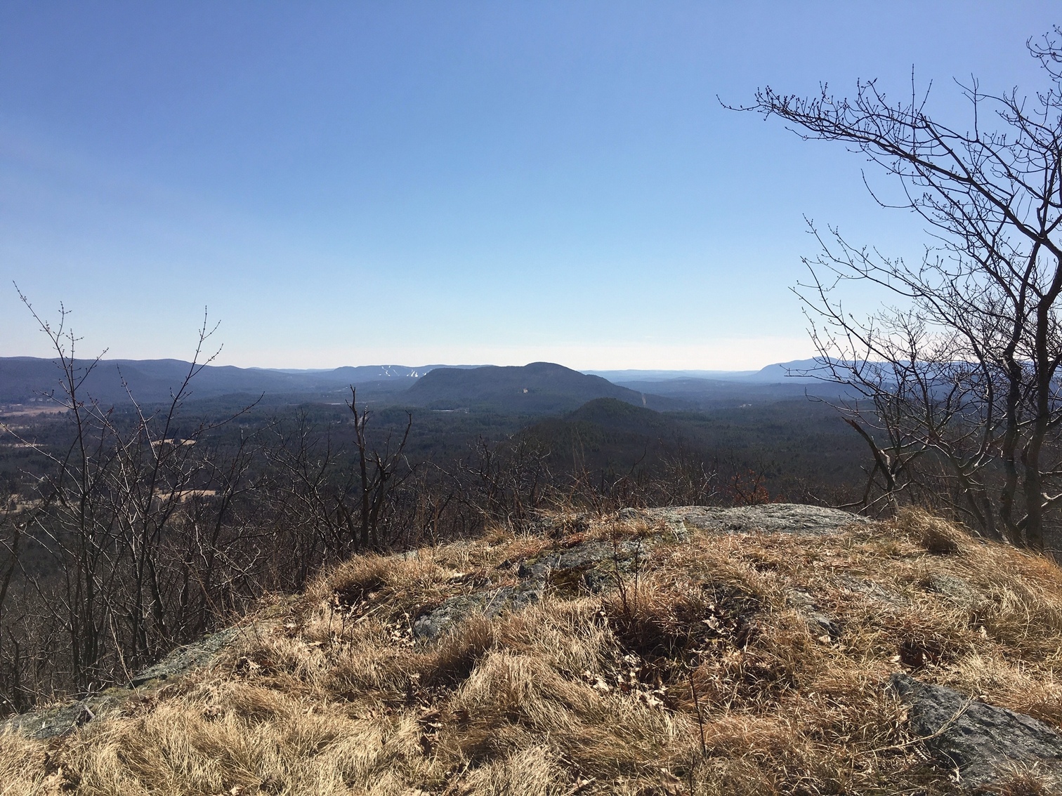
As you get closer to the south end of the ridge, a line of Stockbridge Water Department "No Trespassing" signs appear on the east side of the trail. There is a high rocky area between the signs and the the trail that offers spectacular views to the south, east and west. You can see Butternut ski area in the distance with snow on the trails.
Another view from the south end of Yokun Ridge. Here, you can see snow on the trails of Catamount Ski Area in the distance. By the way, if you hear gunfire, it will be from the firing range at the base of the hill.