Pittsfield State Forest is a very large park that has trails for hiking, cross-country skiing, and snowmobilies. It would take days to hike all of the trails there. The maze of trails is complex, but the friendly staff is there to help if necessary. There are actually many small mountains in the park. Almost all of them are thickly forested.
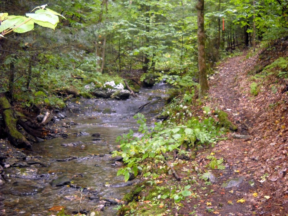
Hiking up the Lulu Brook Trail.
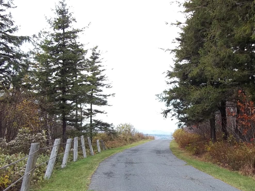
Taking the road to Berry Hill.
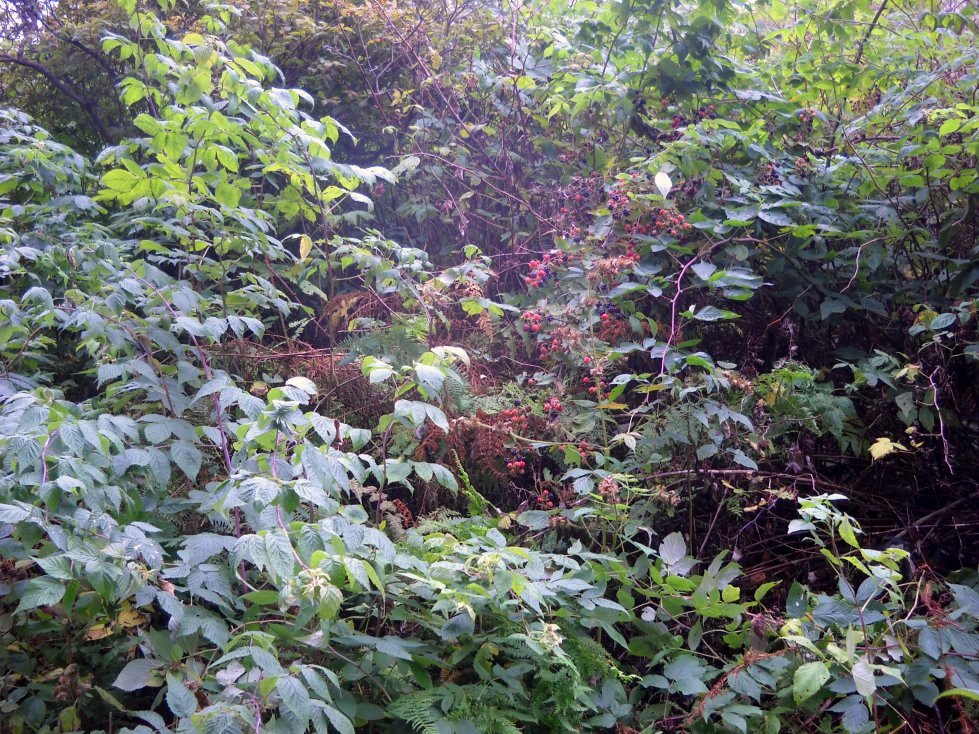
Blackberries along the road at the top of Berry Hill. There were a few raspberries mixed in here and there. Normally, raspberries, blackberries and black raspberries are found in pure stands. The red berries here are unripe blackberries.
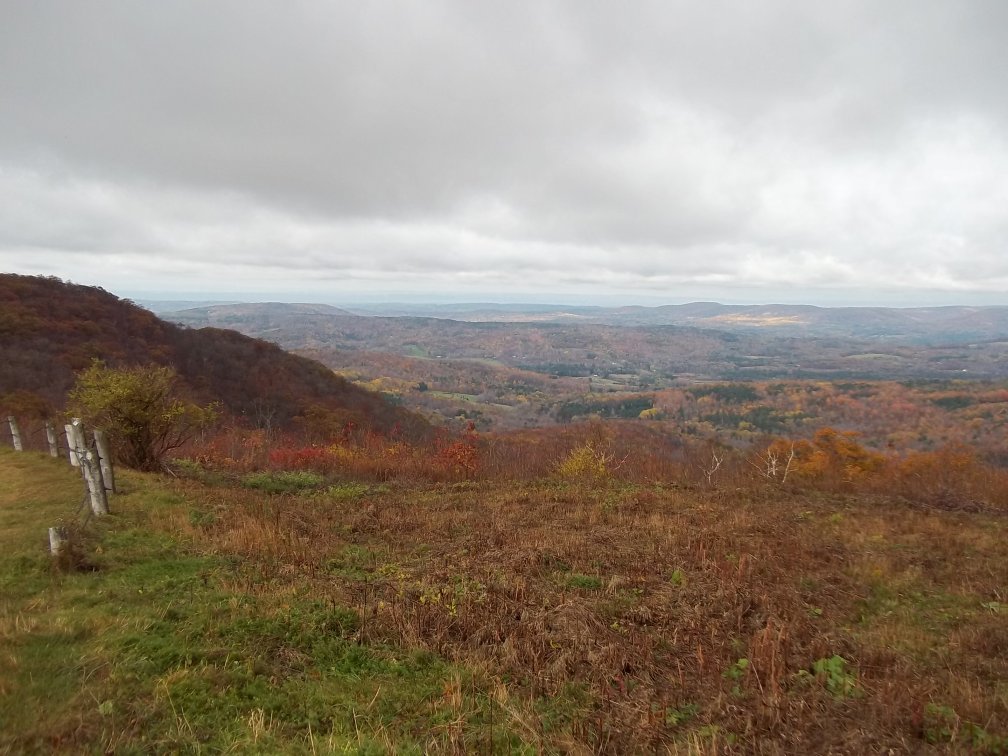
A view into New York from the top of the paved road near Berry Pond.
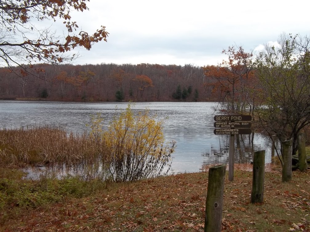
Berry Pond is the highest natural water body in Massachusetts with an elevation of 2150'. Campsites are located nearby.

A view of Tilden Swamp from the south edge. I had to do a little bushwhacking from the trail to reach this spot.
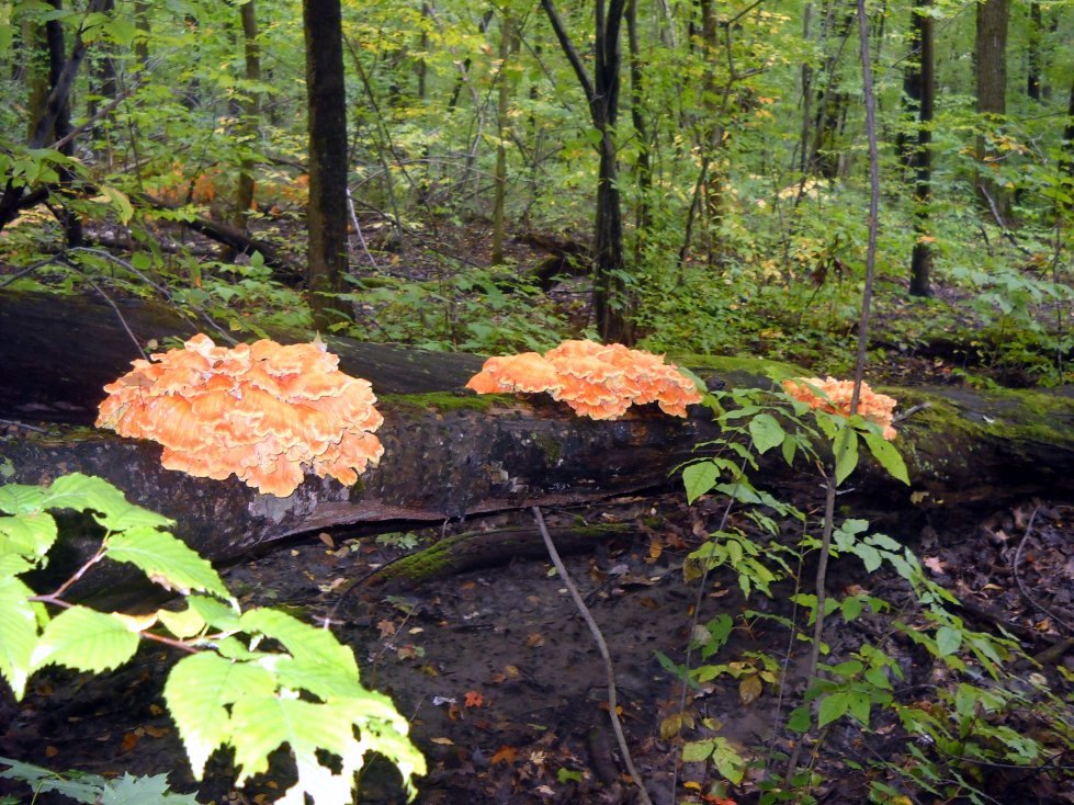
Large sulphur shelf fungi growing on a dead tree.
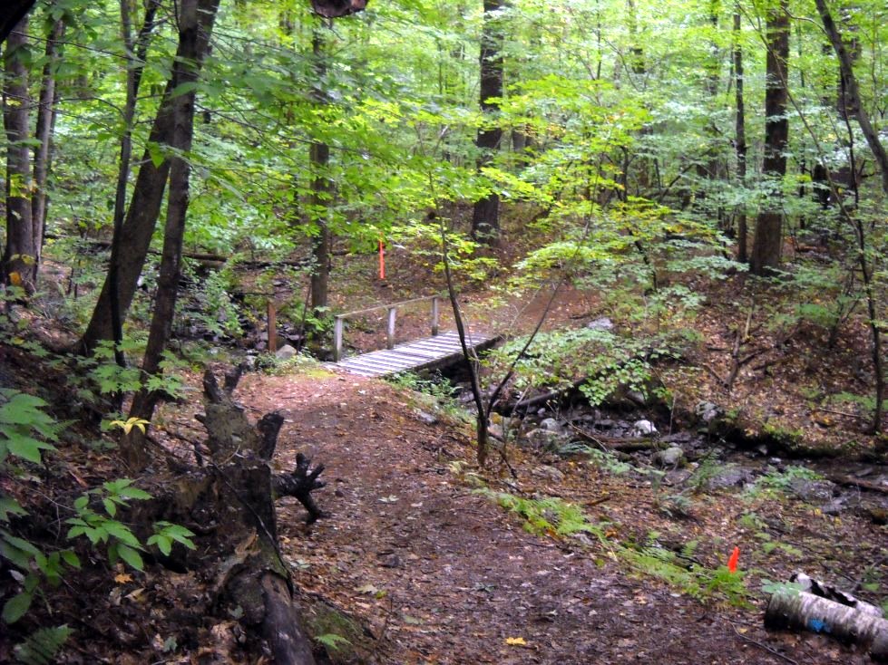
A bridge leading from the Shadow Trail to the Hawthorne Trail.
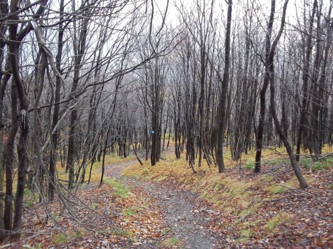
The Taconic Crest Trail near one of the peaks in the northwest section of the park. The leaves were all gone by late October.
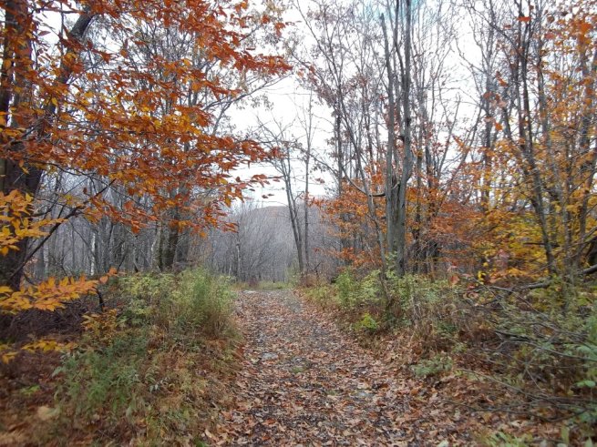
The northern sections Taconic Skyline Trail (shown here) and the Taconic Crest Trail provide continuous but obstructed views of the Round Mountain and Brodie Mountain areas.

A swampy area on the Taconic Crest Trail with a beaver hut in the distance. Don't ask me what they plan to do with the tree in the foreground.
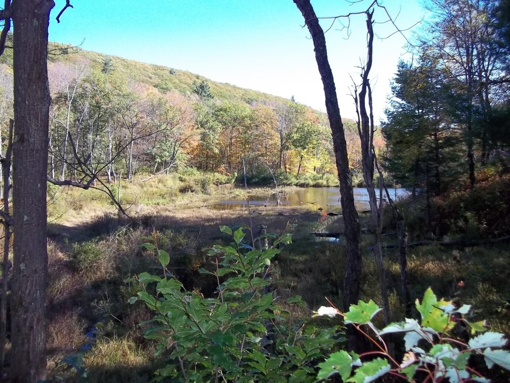
A small pond on the Taconic Skyline Trail. The southwest slope of West Mountain is visible in the background.
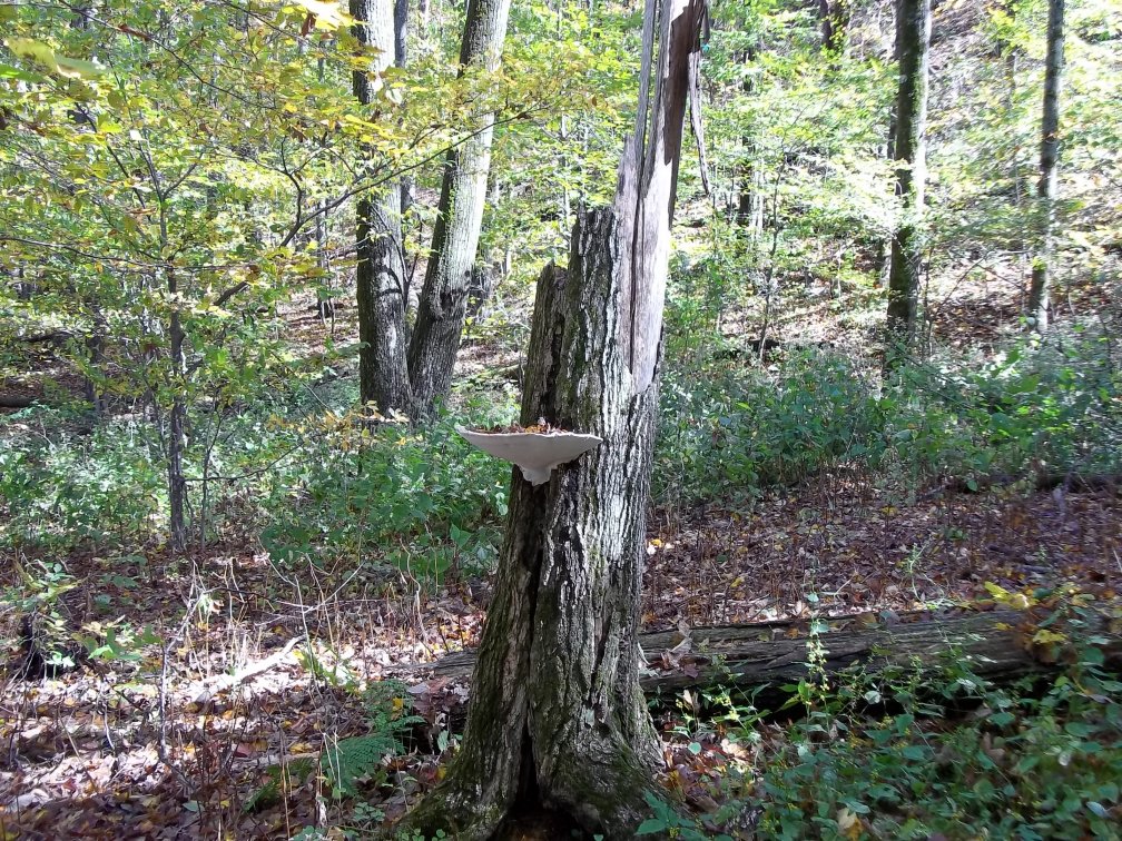
This large bracket fungi is doubling as a serving tray for leaves.