Black Rock State Forest lies next to Storm King State Park along the Hudson River. The two parks share a trail and a parking area near Route 9W. Black Rock State Forest is much larger though and has a more varied hiking environment with several small rocky peaks and many lower wooded old roads and trails. Black Rock is accessible in a few locations, but the trailhead on Mine Hill Road is at a relatively high elevation and brings you to viewing spots more quickly. The hills here peak at a relatively low elevation, and it is possible to hike several of them in one day. An excellent map is available from the NY-NJ Trail Conference.
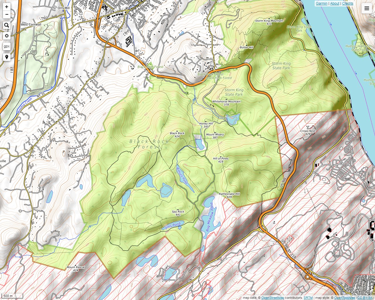
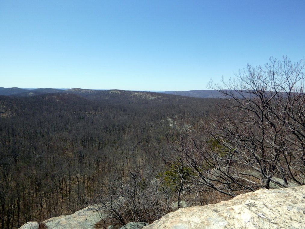
A view toward Schunemunk Mountain from Sackett Trail near Mine Hill Road.
This is Sutherland Pond from Split Rock.
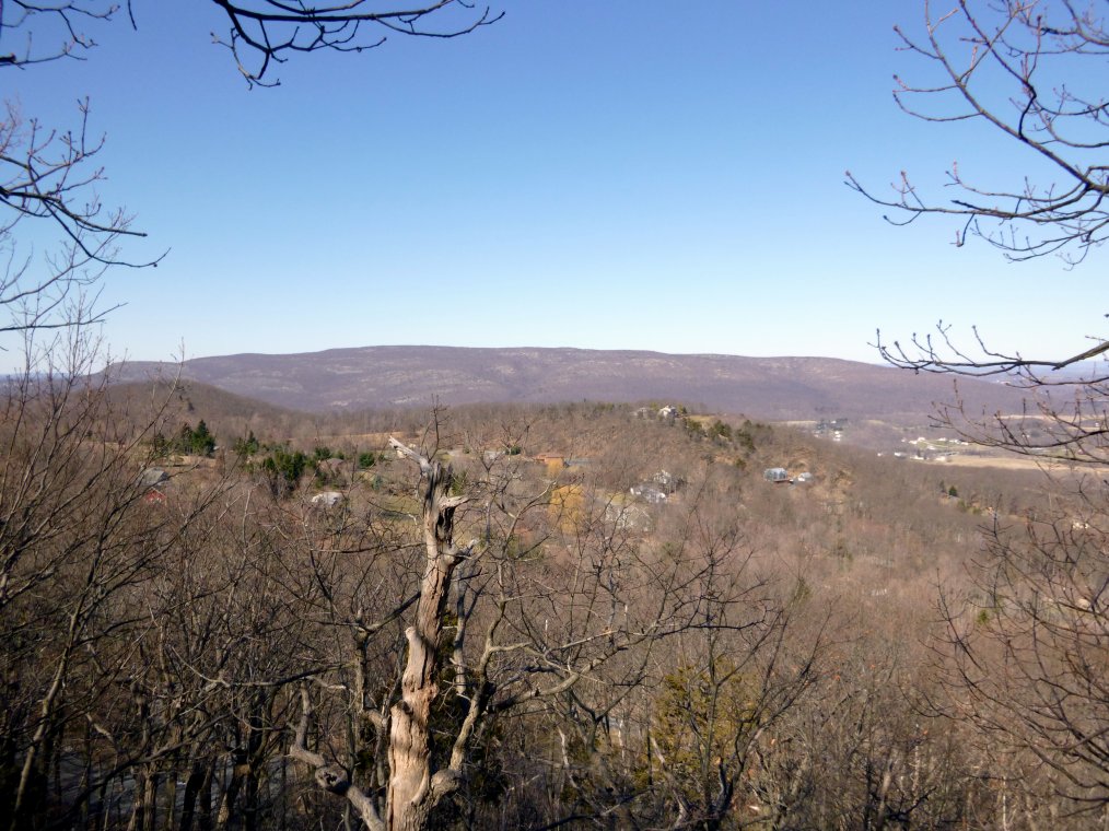
A view toward West Point from Eagle Cliff.
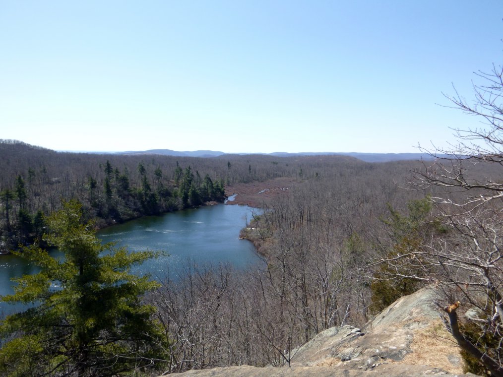
A view toward Mt. Rascal from Eagle Cliff.
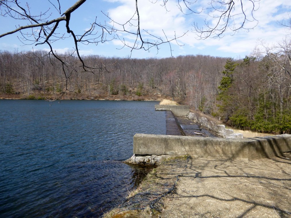
The dam at Aleck Meadow Reservoir.
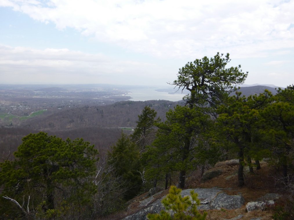
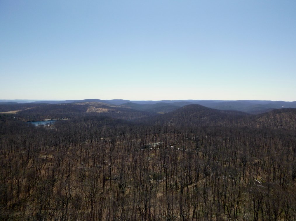
The Hudson River Valley from Black Rock.
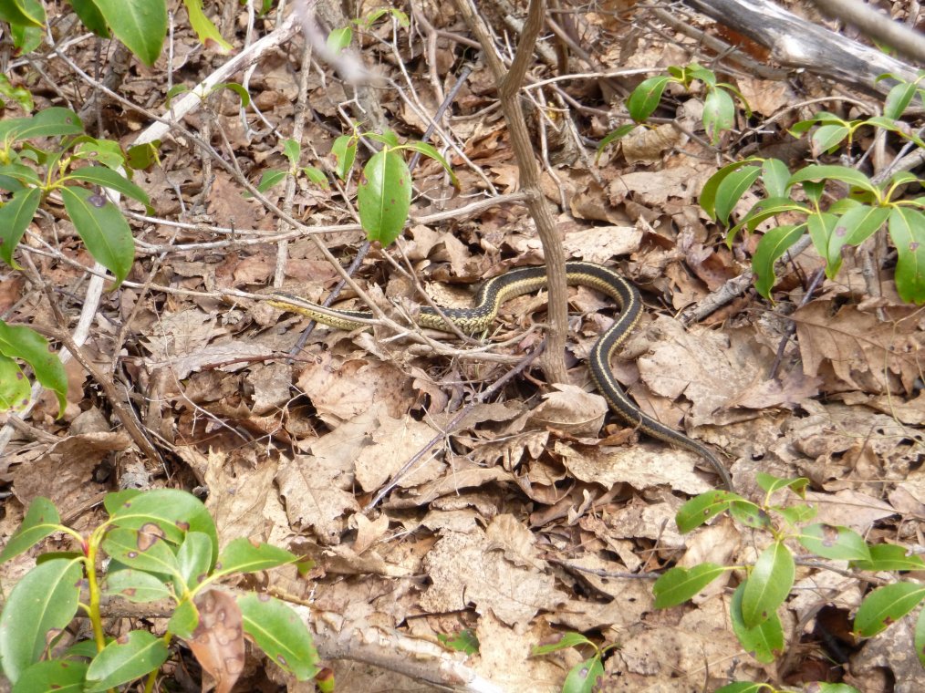
A snake hiding in the leaves.
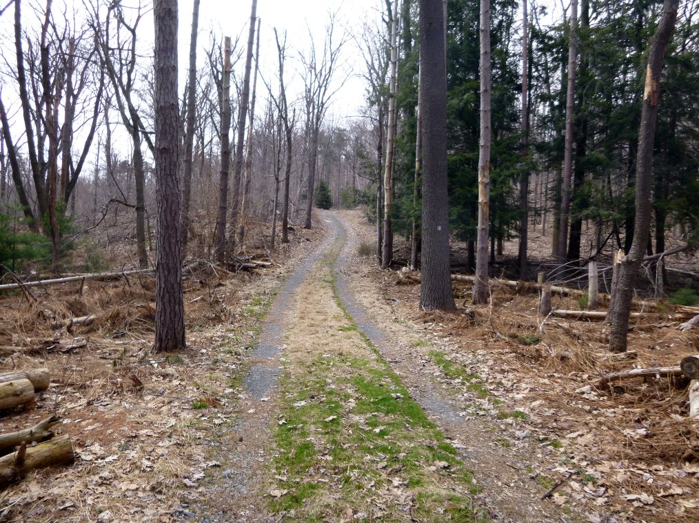
The Continental Road in the central part of the park.
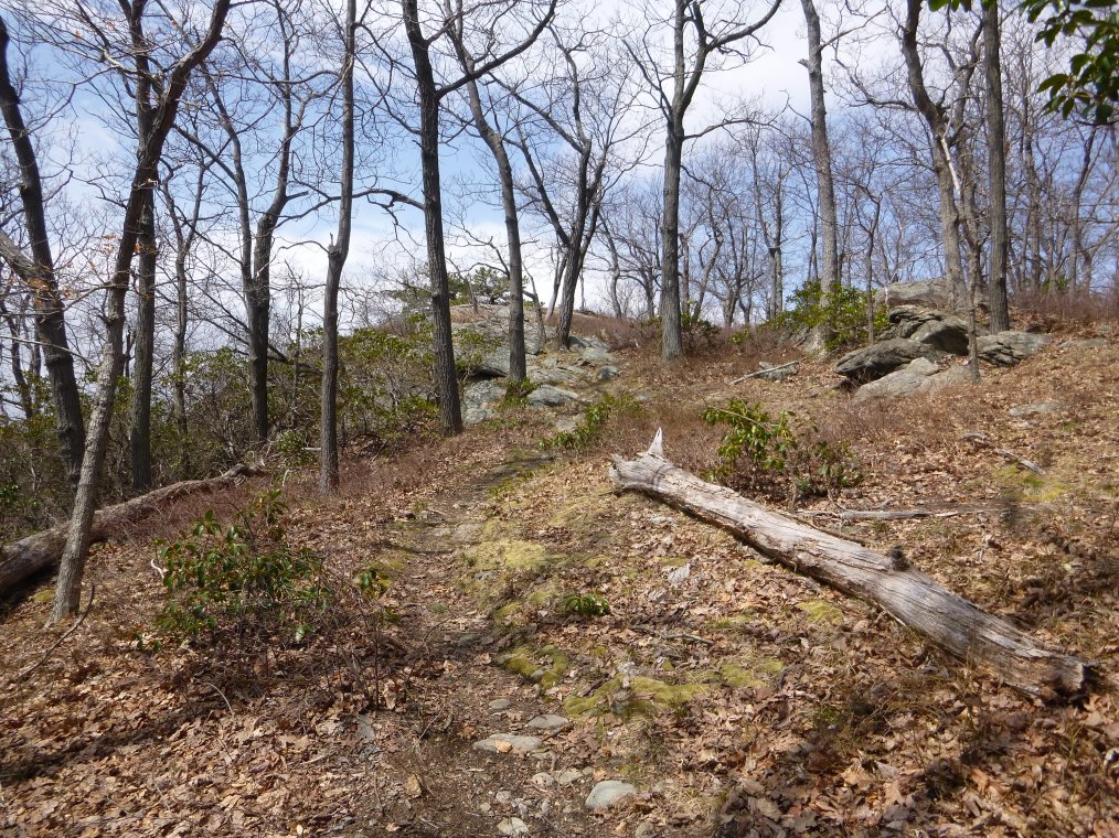
Ascending one of the peaks of Rattlesnake Hill.
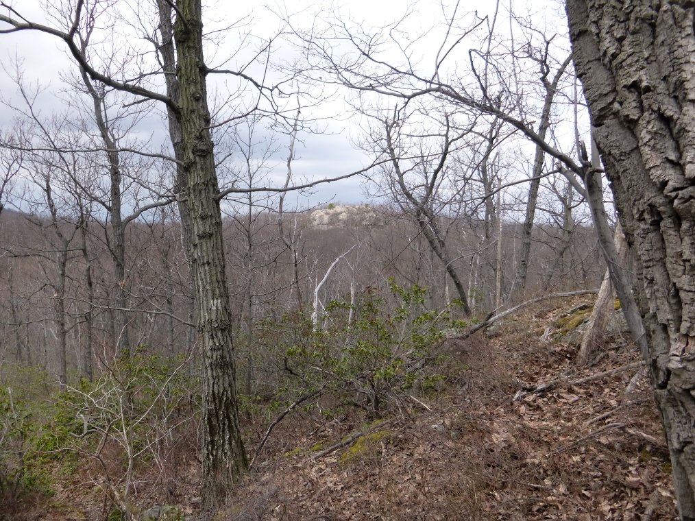
A view of the Hill of Pines from Rattlesnake Hill.