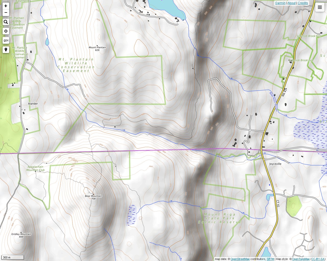
Sages Ravine straddles the Connecticut and Massachusetts state line. Many small waterfalls can be found in the area. I reached the ravine from two different starting points. The harder way is from the Undermountain Trail that leads to Bear Mountain off of route 41 in Connecticut. The second is from the Mt. Frissell trailhead on Mt. Washington Road. This is a much faster way to reach the area.

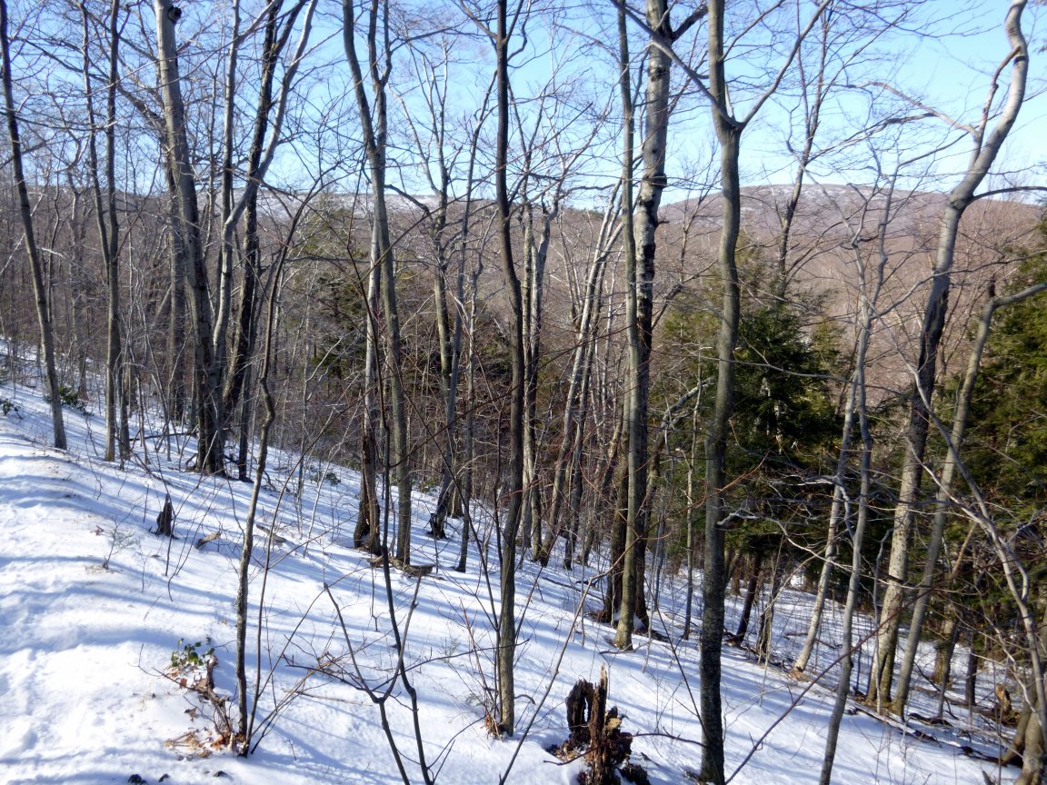
The trek down the Paradise Lane Trail (the longer way). Most of it is thickly forested, and it is not very steep.

A view of the east side of Bear Mountain from the Paradise Lane Trail.

The formal entrance to Sages Ravine. The trail down the ravine is quite long. The river starts out as a relatively typical brook in the woods.
The fastest route to Sages Ravine is from East Street/Mt. Washington Road. There is limited off-road parking. You must enter through Massachusetts in the winter because the road is closed in Connecticut then. Then you can hike down a trail they call they call the Northwest Road. An AMC cabin is also located on this trail. The former, but still navigable, Bee Line Trail to Bear Mountain begins in this area. The Northwest Road joins with the Appalachian Trail in 0.6 miles.
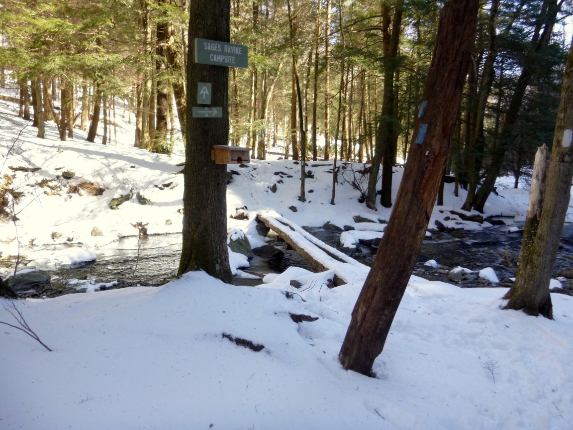
Sages Ravine is a popular spot with families and overnight hikers.

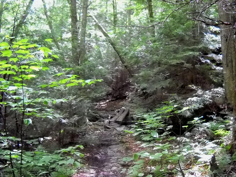
The ravine gets more interesting as you continue going downhill to the east.

The ravine has steep slopes on both sides. You can see that many trees have fallen in these easily erodable areas.
A bridge that crosses one of the streams flowing into the ravine.

This is one of the many feeder streams into Sages Ravine. Water entering the ravine from many different points is an exciting sight to see. The sound of rushing water coming from different directions is also a very unusual experience.
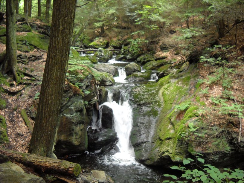
As you hike down further, you can see many small waterfalls.
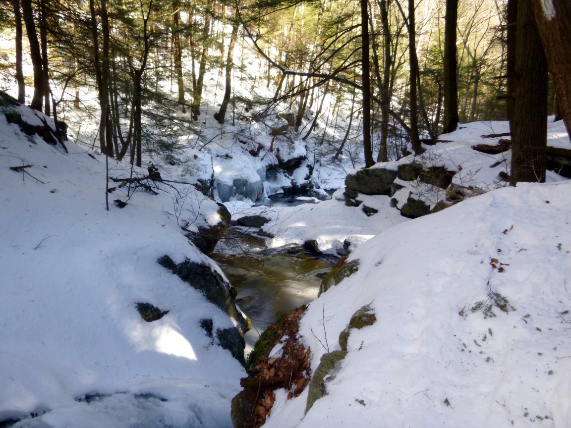
Even though it was cold and windy, the Ravine became more photogenic in the absence of haze and the shadows from foliage. Another nice thing is that there were no bugs in winter!
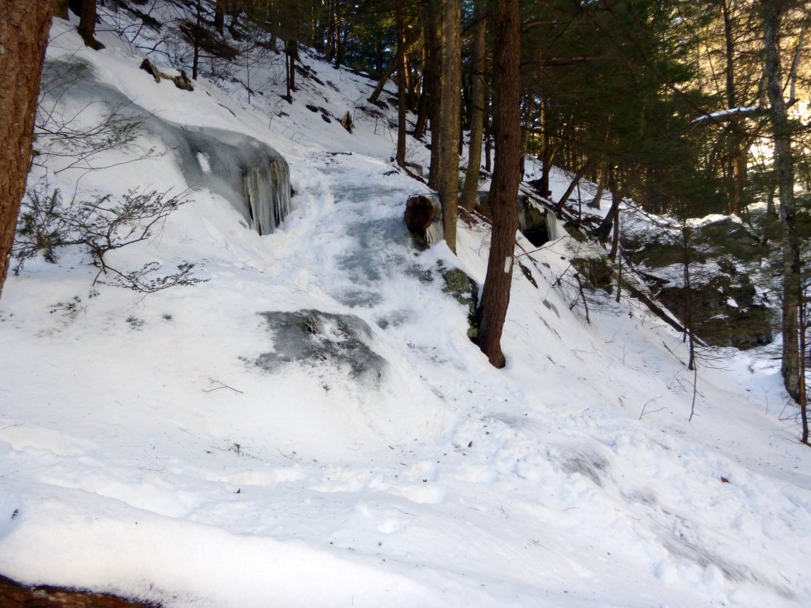
The trail was iced-up in one spot on this frigid day in February.

This is the crossing point on the Appalachian Trail. It is easy to slip and fall in the stream, especially when the water level is high after it rains.

After you cross Sages Ravine, you will see a "Welcome to Massachusetts" sign, even though you were already in Massachusetts coming down the trail according to the trail maps. I read that the Connecticut chapter of the Appalachian Mountain Club maintains the south side of the ravine even though it is in Massachusetts. It is difficult to maintain the trail because of all the run-off and the hiker traffic. After you pass this sign, you can hike up Mt. Race on the south slope. This is one of the most beautiful hiking trips imaginable.