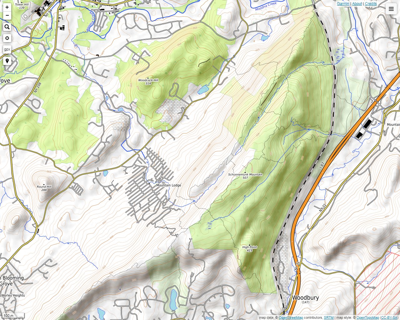

A train passing over the Moodna Viaduct, which crosses over Otterkill Road on the northeast end of the mountain. There is a parking lot on Otterkill Road leading to the Trestle Trail.

A bench is located at an overlook on the Trestle Trail at about 900 feet. This point provides a clear view of the Catskills.
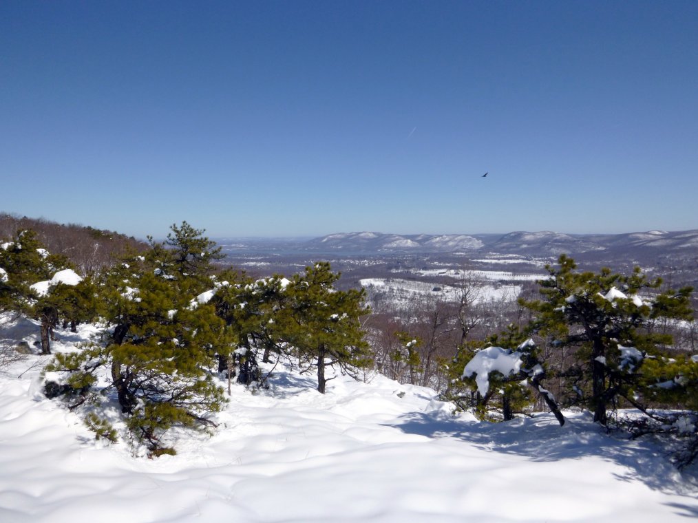
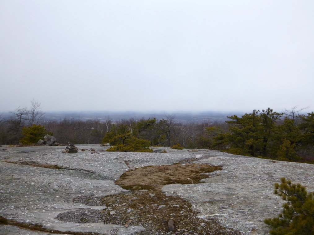
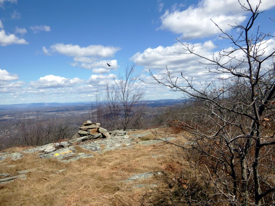
At about 1300 feet you will come to another lookout where you will see the Hudson River Valley. The hills in the distance are primarily the peaks of Hudson Highlands State Park.
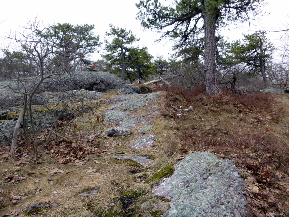
Much of the rock is a type of conglomerate, which is very interesting to look at. You can also see that the rock tends to be covered with lichens. One of the most interesting things about the mountain is that there is an abundance of exposed rock, which provides at least partial views of the surrounding areas.
Some of the trails are in the process of being renamed and newly marked as of this writing (in 2013). Make sure that you understand the maps that you have before proceding. You can see a couple pockets of snow here near the end of winter. A week later, there was another big snowstorm that covered up everything again.

Schunemunk Mountain has two main ridges that run parallel to one-another. Here is a view of the northwest ridge from the southeast ridge. You can really see the extent of exposed rock well here.
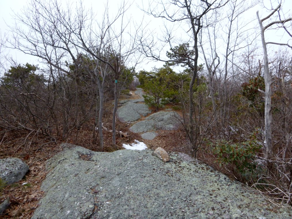
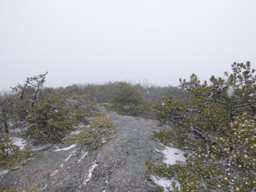
A megalith on the southeast ridge. Here you can see some fog in the distance. This was actually a snow squall that blocked out the sun enough to make navigation difficult (a good reason to carry a compass when hiking). Also, some of the trail markings are painted on rock. These will become covered with snow, so be careful in the winter.
Here we see snow being trapped in the pine needle joints. This was a very unusual sight for me.
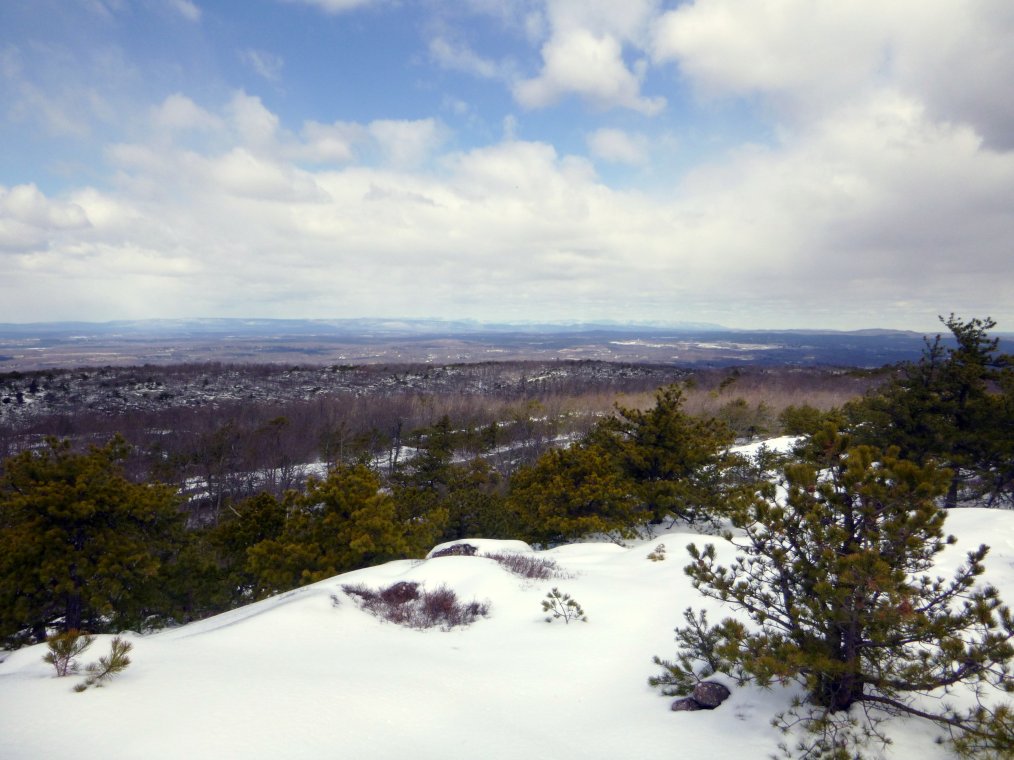
A view to the north from the top of the southeast ridge in late winter after a recent snowstorm. I didn't expect there to be so much snow at the top. The snow made the hike much more difficult, and I wouldn't recommended it for novices.

This is a view toward Black Rock State Forest, another great hiking destination. This region of New York is packed with great trails when you consider that Bear Mountain and Harriman State Park are only a few minutes away. You have to give a lot of credit to all of the people who maintain the trails and create the maps of these areas.

This is a view of the southeast ridge form the northwest ridge. I really enjoyed looking at the pines poking out from the perfectly white snow. It is something that you have to see in person to appreciate, but as I mentioned before, hiking in these conditions can be very difficult.
You can approach the mountain from the southwest at Gonzaga Park. If you do, check to see if the gates are open first. Otherwise, you may have to park at the commuter parking lot near route 6-17. This will add a good deal to the length of the hike, some of which is by road.
The southwest section of the ridge seems to be popular with campers. There are a few good views to the north from this section since it very rocky and thinly vegetated.
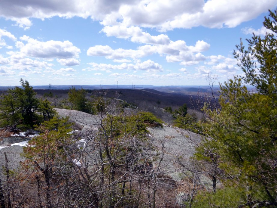
This is a view to the southwest from the Jessup Trail between the orange and blue trails (Western Ridge and Ridge to Ridge). You can see a few radio towers in the distance.

Much of the Jessup Trail is cover with this type of stunted, wind-blown vegetation. An abundance of bare rock is a fairly common sight all around the ridges.