Bash Bish Mountain and Bash Bish Falls attract visitors from many places. The mountain be reached from a few different directions. The South Taconic Trail from Alander Mountain takes a little longer, but it is not as strenuous as starting from Bash Bish Falls, which requires crossing a wide brook, most likely getting wet and then climbing a very steep slope to the top. The mountain can also be reach from the South Taconic Trail in Taconic State Park fairly easily, but there are couple of steep sections on it.

Heading north from Alander Mountain toward Bash Bish Mountain, which is the slightly elevated spot in the foreground.

The peak of Bash Bish Mountain is not marked. The trail gets steeper as you head down toward the falls.

There is a side trail that goes down to the brook near the falls, but it is not one of the easiest to hike.

A short spur takes you from the South Taconic Trail to a series of ledges with views to the south, west and north.
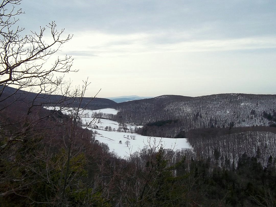
This is a view south from the ledges. A farm is to the east of Washburn Mountain in Copake, New York.
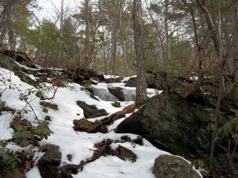
The South Taconic Trail undistubed after a blizzard. Ice has formed from melting and freezing snow.

There are several brooks in the area. Some have rushing cascades. The footprints on the left are 100% deer tracks.
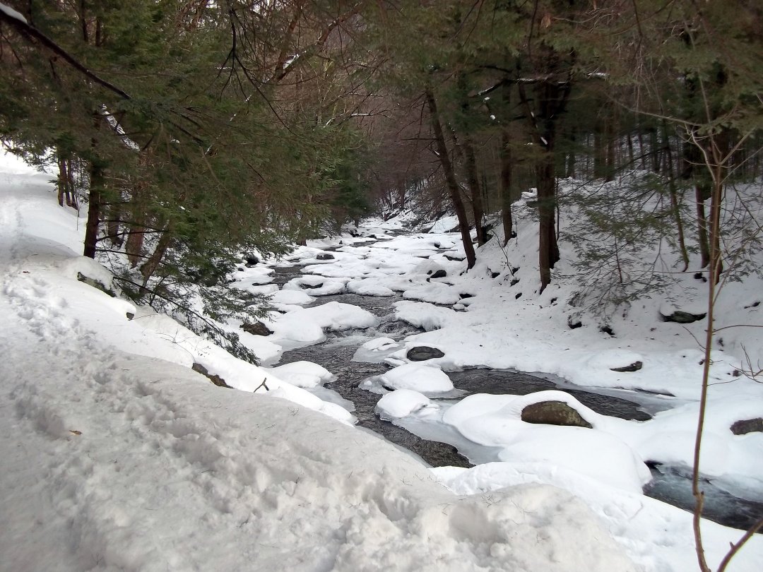
Bash Bish Brook partially snow-covered downstream from the falls.

Bash Bish Falls in January. Usually, this attraction is very busy with people all around. There were quite a few visitors of all ages on this day treking through the snow to see the falls.
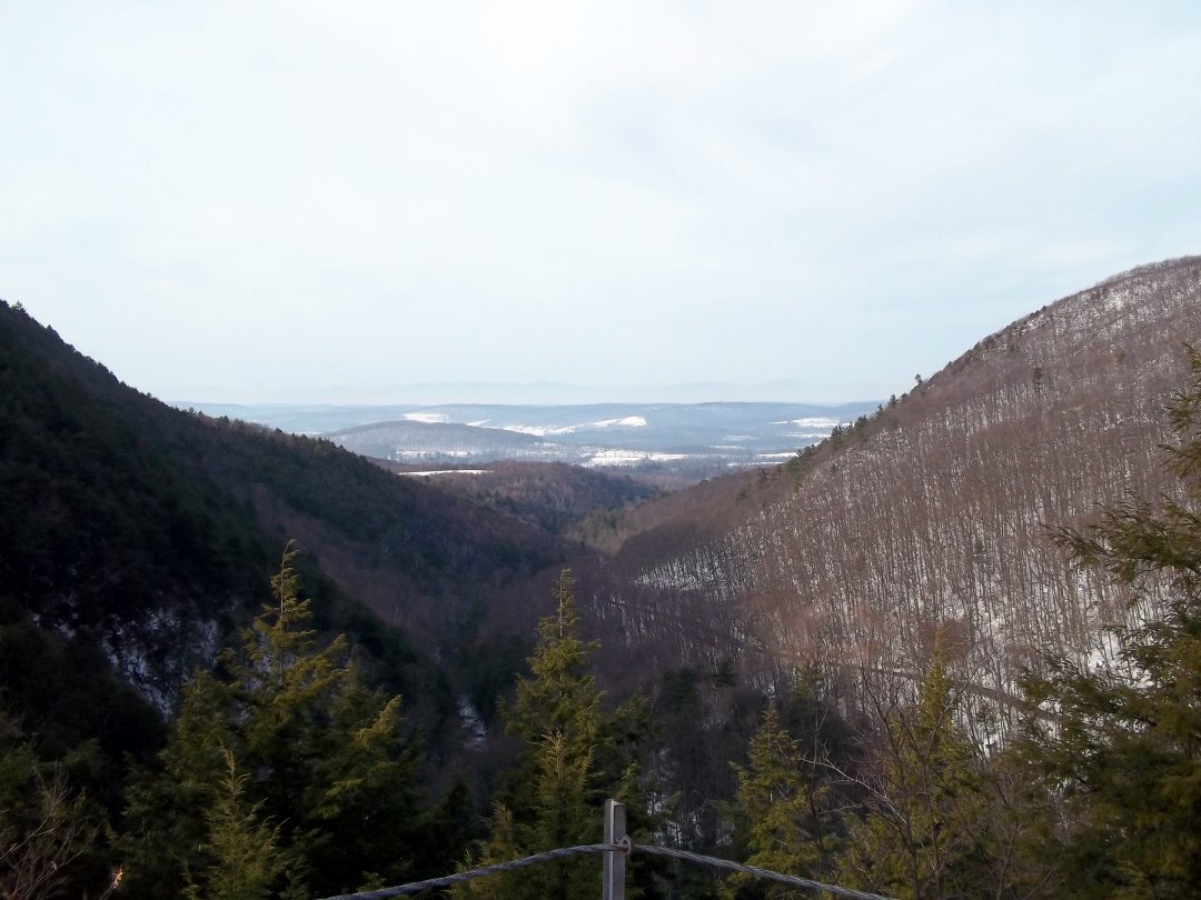
There is a short trail next to the parking lot at Bash Bish Falls State Park in Massachusetts that offers amazing views of the ravine. Bash Bish Mountain is on the left. Cedar Mountain is on the right. Falls Road, which turns into Route 344 is shown in the center.